The original version of this post was published February 19, 2005
The Writer’s Almanac notes today is the anniversary of the date in 1942 that President Franklin D. Roosevelt signed Executive Order 9066, ordering more than 120,000 Japanese Americans into remote internment camps. It’s an event we all know in the sense we’ve heard of it. Having heard about it, most of us have an opinion about it; the prevailing view, embraced eventually even by a president as conservative and all-American as Ronald Reagan, is that it was a tragic mistake.
In another way, it’s a history we know little about. Especially in a place like Berkeley where more than 1,000 residents (the official number, published in the Berkeley Gazette in April 1942, was 1,319) were forced to leave. Several older Japanese-American couples lived in our neighborhood when we moved here in the late 1980s. They were of a certain age — my parents’ age — that made me wonder not whether their families had been sent to the camps but what their experience of incarceration had been. I never talked to them to find out. But you realize that on this street, or the next one over, and all over town, families were sent packing. To the California deserts, Utah, Wyoming, Arkansas, wherever the camps could be set up quickly.
In San Francisco, the Chronicle ran a story marking the departure of the last “Japanese” from the city.
“For the first time in 81 years, not a single Japanese is walking the streets of San Francisco. The last group, 274 of them, were moved yesterday to the Tanforan assembly center. Only a scant half dozen are left, all seriously ill in San Francisco hospitals. “
At the University of California’s commencement, campus president Robert Gordon Sproul announced that the senior class’s top student “cannot be here today because his country has called him elsewhere.” Three weeks earlier, the student, Harvey Akio Itano, had been sent to the Tule Lake camp in northeastern California. (While his family remained incarcerated, he was released soon afterward and allowed to begin his medical studies in St. Louis. As a researcher after the war, Itano played a key role in discovering the molecular basis for sickle-cell disease and is recognized today as a pioneer in the study of blood diseases.)
Among the other UC seniors forced out of school before graduation was Yoshiko Uchida, who lived with her family on Stuart Street near Shattuck Avenue and kept a scrapbook (online through the University of California) of her new life (and later wrote many books about it).
You can go looking for scraps of the internment history, and sometimes they find you instead.
In October 2004, I was driving back to the Bay Area from Mojave and decided to take the long way, up U.S. 395, at the foot of the Sierra Nevada’s eastern flank. Late in the afternoon, speeding north up the dry floor of the Owens Valley, I passed a sign saying Manzanar was just ahead. I knew the name, that it was one of the camps, that it was out in the middle of the desert someplace, but not much more than that. Suddenly, here it was. So I turned off and spent a while driving around what is now a national historic site.
Sagebrush has claimed most of the camp, though you can see come of its streets leading off into the desert, and several barracks buildings have been rebuilt. The most-frequented place at Manzanar — not counting the visitor center — is the cemetery. The bordering fence is heavily festooned with origami cranes, and lots of impromptu memorial offerings have been left behind. The gleaming white cemetery monument is carved with the kanji “I rei to,” or “soul-consoling tower.”
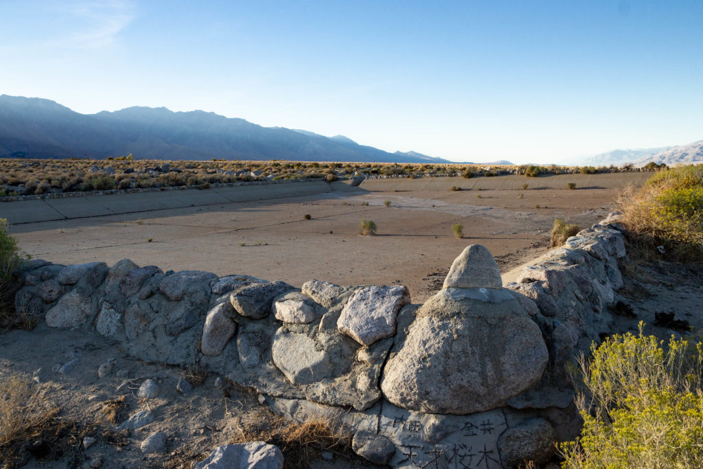
Reservoir was originally built to serve a nearby agricultural community in the Owens Valley. It was improved and enlarged during World War II by internees. See: Manzanar Reservoir.
I insist I don’t spend a lot of time in cemeteries. But when I do, I’m always conscious of the capsule histories that many grave markers contain. I tend to notice children’s graves a lot, maybe because my brother Mark died at age 2, an event that I remember vividly. Occasionally, you come across what looks like a family story — like the grave we once spotted that is marked as the final resting place of three people named Mary Dahl — a mother and two of her daughters who all shared the name.
During a visit to Chicago several years ago, I went over to Mount Olive Cemetery, where my dad’s parents and many members of his extended family are buried. It’s a beautiful green place in the summer, and you can see that nature will have no problem taking back the property once someone skips mowing the grass for a few years. The older, heavily Scandinavian sections of the cemetery have lots of markers that have shifted askew or fallen, and I always wonder whether there’s any family left to visit these long departed forebears.
On this particular visit, I was stuck by how many graves declared a relationship: father, mother, husband, wife, daughter, son, sister, brother. One of the markers I spotted was unique: “Wife and Baby,” it says. Not “Wife and Daughter” of “Mother and Daughter.” Both had died in 1906, and the child was just five months old. I snapped a picture and later, having taken note of the names and dates, tried to find out what had happened.
“Carrie A. Dunham,” listed in the Chicago Tribune’s Feb. 28, 1906, “Official Death Record” column (p. 9).
“Ebba C. Dunholm,” listed in the Chicago Tribune’s May 22, 1906, “Official Death Record” column (p. 10).
I can’t say I found out much beyond the fact that no two people, including the person put in charge of engraving a substantial and expensive headstone, agreed on the spelling of the family name.
The stone itself says “Dunhom,” as you can see — but that surname doesn’t appear anywhere in genealogical records or in Chicago phone books from this period (though losts of people didn’t have phones in this era). The name used in the “Official Death List” published in the Chicago Tribune several days after Carrie A. “Dunhom” died in February 1906 is “Dunham.” That agrees with a Cook County death index record that lists her full name as Carrie Anderson Dunham and adds that she had been born in Norway in 1883.
As to Carrie’s daughter, she is listed in the Tribune’s death list as Ebba C. Dunholm. Again, there are no Dunholms or Dunhoms in other records. Again, there’s a Cook County death record that uses the surname Dunham — but lists her given name as Effa. One guesses that there were serial transcription errors that led to all these different renditions of the name. It’s impossible to figure it out without disappearing down some rabbit hole, and I’m not sure you’d be able to sort it out even then.
But I do wonder about the “husband and father” who presumably had this headstone placed. Presumably he had some idea of how he wanted the name spelled. I can’t find any record of him though — no marriage record, no birth record for the daughter. I hope whoever carved the stone rendered it just the way it was handed to him. That, at least, would have been some comfort to the mourner.
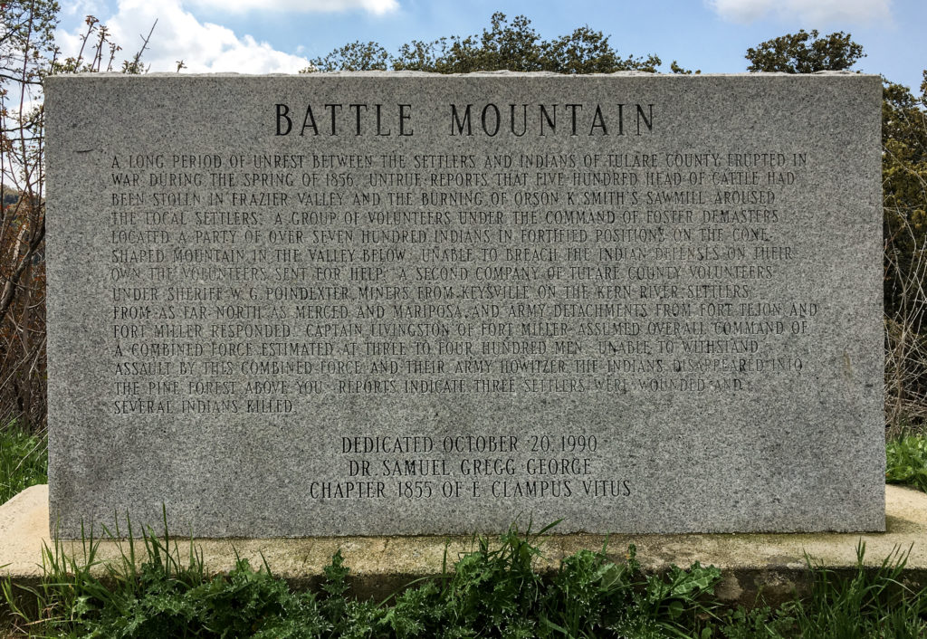
Battle Mountain historical marker, Tulare County, California (see text below).
Kate and I encountered the marker above a few years back while driving on a back road in the southern Sierra Nevada foothills. The text is hard to read, but it’s transcribed in full below.
Battle Mountain
 A long period of unrest between the settlers and Indians of Tulare County erupted in war during the spring of 1856. Untrue reports that five hundred head of cattle had been stolen in Frazier Valley and the burning of Orson K. Smith's sawmill aroused the local settlers. A group of volunteers under the command of Foster DeMasters located a party of over seven hundred Indians in fortified positions on the cone-shaped mountain in the valley below. Unable to breach the Indian defenses on their own, the volunteers sent for help. A second company of Tulare County volunteers under Sheriff W.G. Poindexter, miners from Keysville on the Kern River, settlers from as far north as Merced and Mariposa, and Army detachments from Fort Tejon and Fort Miller responded. Captain Livingston of Fort Miller assumed overall command of a combined force estimated at three to four hundred men. Unable to withstand assault by this combined force and their Army howitzer, the Indians disappeared into the pine forest above you. Reports indicated three settlers were wounded and several Indians killed.
 Dedicated October 20, 1990
Dr. Samuel Gregg George Chapter 1855 of E Clampus Vitus
When it comes to roadside markers, the easiest thing in the world to do is pick apart their abbreviated rendition of past events. There is no way that even a relatively prolix text, such as the one on this marker, can convey much in the way of detail or nuance. Too bad they don’t contain hyperlinks, though now that I’ve had that thought: QR codes. You know: “To read more about the Chicago Fire, or the Haymarket Square affair, or the assassination of Mayor Carter Harrison, scan this code.” (Yes, I know there is history outside my native city.)
So perhaps the highest and best functions of these markers is to awaken someone’s interest to past events and send them looking for more. I know that’s what happened five years ago when I was driving around Oroville, a town that had been evacuated because of fears that part of a dam would give way, and happened across a marker commemorating Ishi.
As I wrote at the time, “Ishi is an instantly recognizable name for those who have spent any time in California. Ishi is the legendary last member of his native tribe, the Yahi. In 1911, he was ‘discovered.’ Meaning: starved and alone, he gave up his home country in the foothills on the northeastern side of the Sacramento Valley and entered “civilized” California.”
Here’s what Ishi’s plaque says:
The Last Yahi Indian
For thousands of years, the Yahi Indians roamed the foothills between Mt. Lassen and the Sacramento Valley. Settlement of this region by the white man brought death to the Yahi by gun, by disease, and by hunger. By the turn of the century only a few remained. Ishi, the last known survivor of these people, was discovered at this site in 1911. His death in 1916 brought an end to Stone Age California.
“His death brought an end to Stone Age California.” An entire people, an entire world, dispatched in one succinct sentence. But stumbling upon the plaque prompted me to finally read a well-known and unwittingly tragic account of Ishi’s life and final years, “Ishi in Two Worlds.” It’s a story I think of often as a reminder of how complex the history around us is and how little I know.
But back to Battle Mountain. What to make of this marker, erected in 1990 by a society dedicated to the lore, if not always the true history, of old California? There are some details in the account that don’t smell right. One I wondered about was the notion that a force of white volunteers encountered “over seven hundred Indians in fortified positions.” The concluding line about casualties — three white settlers wounded “and several Indians killed” also sounds vague and sanitized.
What do other sources say?
Wild West magazine recounts the battle as part of “The Tule River War.” That account suggests a much higher casualty count among the Native Americans — members of the Yokuts group of tribes who also faced some ugly post-battle repercussions.
The Last “End of the Tulare War.’— We have frequently had occasion to remark that the accounts of Indian hostilities, not only in the north, but in the south, are almost invariably exaggerated. A small affair is soon magnified into a battle, and the origin is not unfrequently attributed to Indian outrages, when the account should read “white man’s oppression.” The following extract from a private letter written to a gentleman in San Francisco, from a friend at Fort Miller, and bearing date the 25th of May, is the latest, and it may be one of the most truthful accounts from that quarter:
“The Indian war is defunct. The volunteers from this place have returned, swearing most roundly at the [white] Four Creeks people, whom they term Petticoat Rangers, from a kind of armor made with canvas padded with cotton, which they wear in shape of a frock or blouse around their persons for protection. The whole matter has been a cowardly farce, the threatening legions of Indians turning out to be but about one hundred, seeking refuge in a brush from the rowdies, who, on the least occasion, delight in the sport of shooting them.
“As in all cases of the kind, the fault has been with the whites. The herds of cattle said to have been stampeded, have turned out to be a single calf taken to supply the deficiency of meat during an Indian feast. Retaliation, of a brutal character, for this trifling offense, created all the disturbance.”
There are plenty of other newspaper accounts of the “war” published around the same time. Some contend the tribe’s “depredations” warranted a violent response, but most seem to have held to the view that the initial provocation — the “theft” of a small number of cattle during a time of starvation — served as a pretext for wanton killing of indigenous people wherever they were to be found in the area. It is not a unique story. But it’s disappointing that such a credulous mid-19th century narrative made its way onto a marker placed at the end of the 20th century.
Whitman Family Marker, Mountain View Cemetery, Oakland.
One afternoon not too long ago — sometime earlier this century, in any case — I found myself in Oakland, close to Piedmont Avenue, with nothing more on my to-do list for the day. I decided to take a walk up to Mountain View Cemetery. As always, in whatever cemetery I’m strolling through, I was captivated by the stories some grave markers suggest and took pictures of monuments that caught my eye.
What grabbed me about the marker above? Well, the carefully rough-cut form, probably. The names, too: a family group — father, mother, and son, and the son’s imposing, formal name: Crosby Church Whitman. Also curious, to me: the detail related on the stone that the mother and son both died in Paris, with the younger Whitman dying in 1916, during World War I, but before the United States entered the war. What was the story there?
Much later, during hours when I should have been getting some outside air in my lungs, I looked up “Crosby Church Whitman” on our universal distributed reference library. One thing led to another, and soon the Whitmans were rubbing elbows with Gertrude Stein and Alice Babette Toklas.
But let’s not get ahead of ourselves. To start with the old Whitmans:
Bernard Crosby Whitman is the subject of a brief entry in the 1904 “National Cyclopedia of American Biography,” which says he was born in Massachusetts in 1827. He graduated from Harvard in 1846, studied law and was admitted to the bar in Maine in 1849. Then he heard about what was happening in California and came west, arriving in San Francisco in 1850. Among other activities of note, he was a Whig Party member of the state Assembly for one term and ran as a Know Nothing — nativist, exclusionary — candidate for Congress in 1856.
Mary Elizabeth Church was born in Albion, Michigan, in 1842. She was apparently brought to California as a child, and her hometown when she married Bernard was Rough and Ready, a Gold Rush settlement in Nevada County; newspaper accounts, in the Daily Alta California and Sacramento Union, reported the wedding ceremony took place in Nevada Clounty on July 14, 1858. (Take note of the dates and the ages they imply: If accurate, Bernard was 15 years Mary Elizabeth’s senior; she would have been 16 years old when she married a man twice her age. )
Their son, Crosby Church Whitman, was born in Benicia — in Solano County, northeast of San Francisco, and one of California’s early capitals — in 1864. He was sent east to prep school, graduated from Harvard in 1886 and then pursued a medical education in France and Germany. He practiced for a while at Johns Hopkins around the turn of the 20th century, then returned to France, where he resided and practiced medicine the rest of his life.
Bernard Whitman moved to Virginia City, Nevada, in 1864, the same year Crosby was born. The Comstock Lode was in full swing; Bernard is said to have taken “a prominent part in most of the litigation” related to the mines there. He was named to the Nevada Supreme Court and served a year as chief justice in the mid-1870s before moving to San Francisco, where he practiced law until his death from “an apoplectic stroke” in August 1885. His estate was reported to be worth about $10,000 — not a fortune, but enough for his survivors to get by on.
Presumably, Bernard was buried at Mountain View immediately after his death. But what about his wife and son, who according to the marker died in Paris much later?
Crosby Church Whitman turns up in newspaper accounts around 1910 as one of the founding physicians of the American Hospital in Neuilly, just outside Paris. When World War I broke out in 1914, he has asked to organize an “ambulance,” or field hospital, to help treat the masses of French and British soldiers wounded in the fight to stop the German advance on the capital.
“With unfailing courtesy to all whom he met, and the many qualities which have endeared him to his friends, he devoted himself to his new duties, soothing sufferers in words as well as by professional skill, encouraging the despondent, and frequently providing at his personal expense the best apparatus for unfortunate amputated men when the time came for them to leave the ambulance. In the multiplicity of details, many annoyances were inevitable; but he always kept his cheerful serenity; it was said that a mere glance at his countenance was enough to make a wounded man feel sure that he was on the road to recovery.”
Crosby Whitman later organized a second field hospital. By the beginning of 1916, the Harvard account says, the sheer volume of work had overwhelmed him: “On the advice of his associates, he interrupted his work, as he supposed, for a few days; but his health failed rapidly. He passed away in his sleep, at his own residence in Paris, in the presence of his mother, the household, and the attending physicians. ” The consular record of his death, on March 28, 1916, lists the cause as “congestion of the brain.”
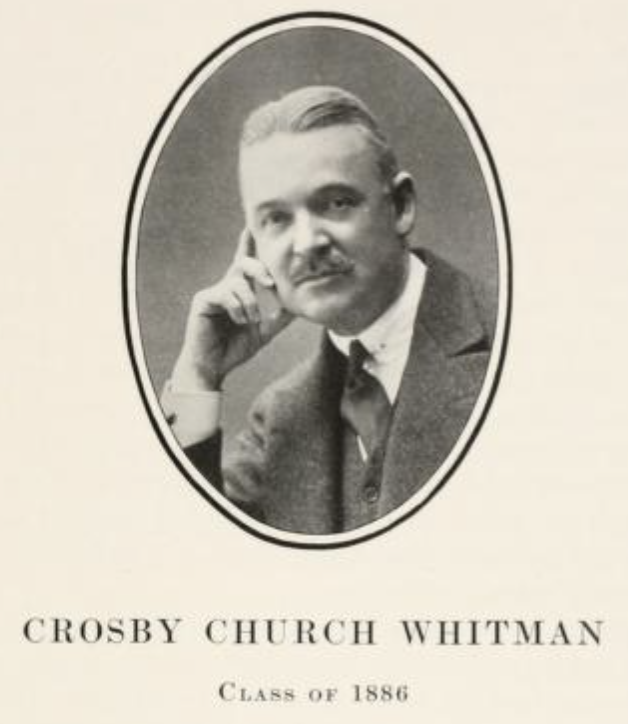
Crosby Church Whitman. Portrait from “Memoirs of the Harvard Dead in the War Against Germany.” Crosby Church Whitman marker, Suresnes American Cemetery.
Mary Elizabeth Whitman had lived with her son at 20 Rue de Lübeck, in the 16th Arrondissement on the north bank of the Seine — about halfway between the Arc de Triomphe and Eiffel Tower — for years before his passing. And she stayed right there until her death in 1932, at age 90. Her death record lists the cause as “senility.”
How did the Whitmans make their way, after death, back to a cemetery in Oakland?
In Crosby Whitman’s case, the answer is that he didn’t. He was cremated and interred at the Suresnes American Cemetery, on the western outskirts of Paris.
And his mother? Well, it’s not quite clear to me. Yet. The record of her death shows she was cremated and her remains held, at least temporarily, at the American Cathedral in Paris. I’ve contacted people there to see whether there are any records of what happened after that.
So, that grave in Mountain View is the final resting place of one Whitman, and possibly two. The third member of the family remains in France.
What does any of that have to do with Gertrude Stein and Alice B. Toklas? Well, not a lot. But here’s something:
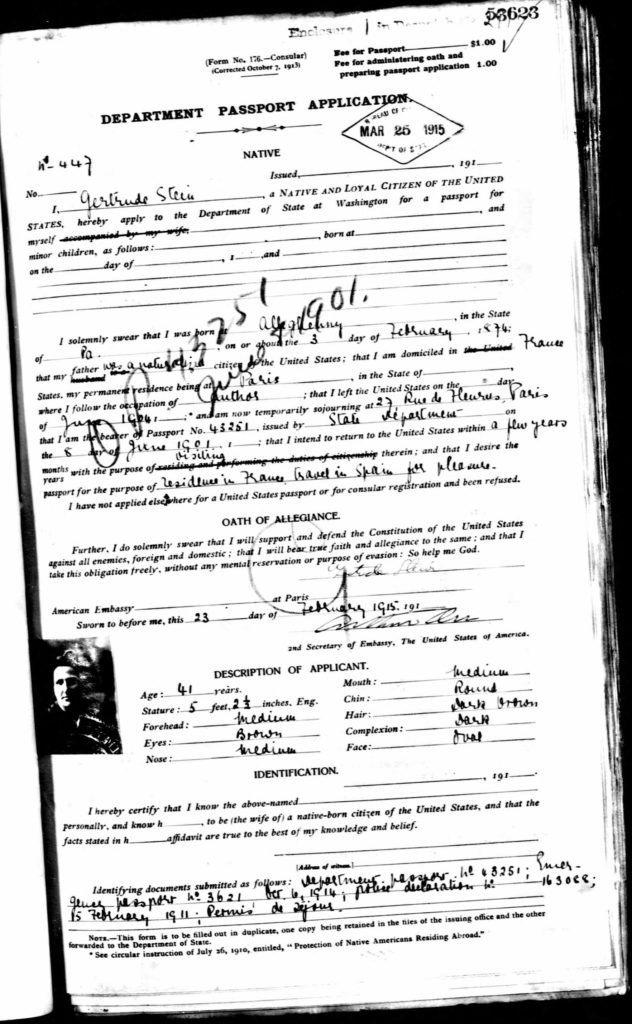
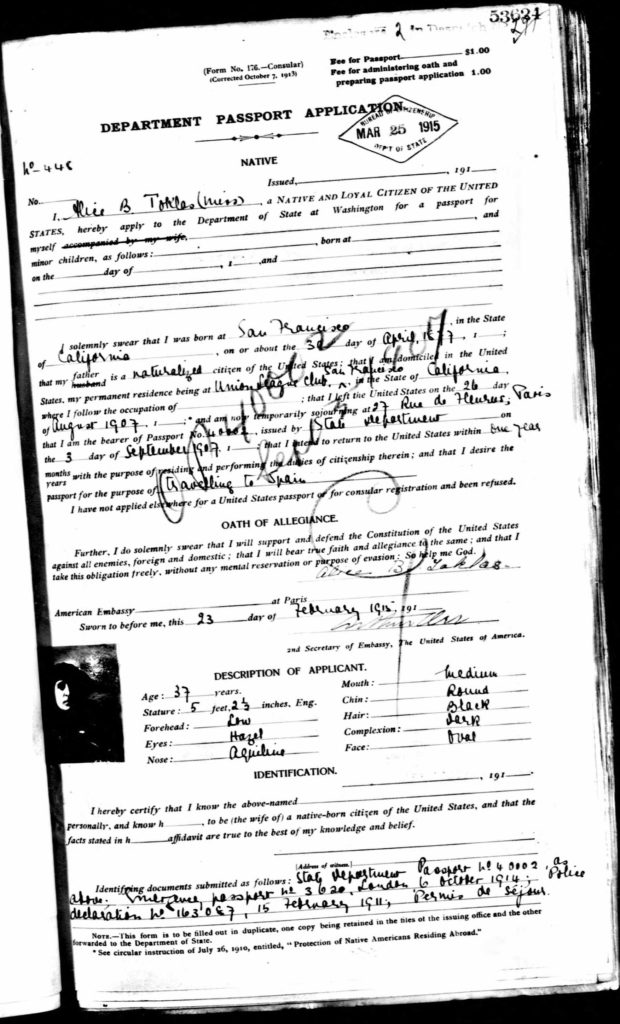
Looking for information on the Whitmans on Ancestry.com, among the resources I came across were passport applications made at the U.S. Embassy in Paris. The Whitmans applied for passports in December 1914. After Dr. Whitman explained his protracted absence from the United States, the passports were approved on March 25, 1915.
Crosby Whitman’s application is listed first in the passport file, followed by his mother’s. Turning to the very next page after Mary Elizabeth Whitman, I found this:
And on the very next page after that is this:
Alice B. Toklas passport approval, March 25, 1915.
Of course, it’s just a coincidence . There’s nothing to suggest that, except for the accident of their simultaneous passport approvals, the Whitmans ever crossed paths with Stein and Toklas, who lived during these years about four kilometers away at 27 Rue de Fleurus, just outside the Luxembourg Gardens.
Long after the Whitmans passed away, and immediately after another World War, Gertrude Stein fell ill and was diagnosed with cancer. As she lay dying in the American Hospital, which Crosby Whitman had helped found decades earlier, Toklas kept watch by her bedside.
Toklas wrote later:
“I sat next next to her, and she said to me early in the afternoon, ‘What is the answer?’ I was silent. ‘In that case,’ she said, ‘what is the question?’ ”
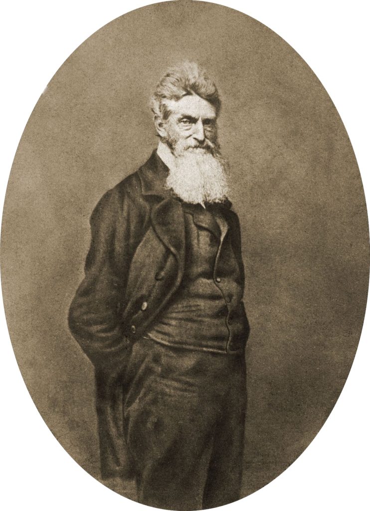
1859 portrait of John Brown. (Library of Congress)
John Brown, the antislavery martyr notorious for terrorizing slavery sympathizers in Kansas and later for his failed attempt to ignite a war of slave liberation at Harpers Ferry, Virginia, is an uncomfortable figure. His means were violent, and from the very moment he came to national notice, in the 1850s, there has been a debate not just about those means but about whether he was a madman.
His capture, trial and execution gave Brown a platform to speak to an enthralled audience in both the North and South. For many in the slaveholding states, he served as living proof of Northerners’ ill intent toward their “way of life” and “peculiar institution.” In the “free states,” where abolitionists were a minority, he was at first denounced as a dangerous zealot or even insane.
Then the public, South and North, started absorbing his words, starting with a remarkable public interview with several elected officials, military officers (including Robert E. Lee) and newspaper reporters given as he lay wounded in the Harpers Ferry armory.
He answered questions about his motives: “I want you to understand that I respect the rights of the poorest and weakest of colored people, oppressed by the slave system, just as much as I do those of the most wealthy and powerful. This is the idea that have moved me, and that alone.”
And he ended with a warning: “I wish to say, furthermore, that you had better — all of you, people of the South — prepare yourselves for a settlement of this question. You may dispose of me very easily. I am nearly disposed of now; but this question is still to be settled — this negro question, I mean. The end of that is not yet.”
Brown was tried, sentenced and hanged all within six weeks of the Harpers Ferry incident. His behavior from the moment of his capture to his execution impressed his foes and his growing circle of supporters alike. The governor of Virginia, who was among those present at the armory during Brown’s interview, said the wounded man “inspired great trust in his integrity, as a man of truth.”
Brown’s brief address to the court at his sentencing cemented that reputation and became the vehicle for expanding the cause of abolition and making him the hero of that cause. , One passage:
“… Had I so interfered in behalf of the rich, the powerful, the intelligent, the so-called great, or in behalf of any of their friends — either father, mother, sister, wife, or children, or any of that class — and suffered and sacrificed what I have in this interference, it would have been all right; and every man in this court would have deemed it an act worthy of reward rather than punishment.
The court acknowledges, as I suppose, the validity of the law of God. I see a book kissed here which I suppose to be the Bible, or at least the New Testament. That teaches me that all things whatsoever I would that men should do to me, I should do even so to them. It teaches me further to “remember them that are in bonds, as bound with them.” I endeavored to act up to that instruction. I say, I am too young to understand that God is any respecter of persons. I believe that to have interfered as I have done — as I have always freely admitted I have done — in behalf of His despised poor, was not wrong, but right. Now if it is deemed necessary that I should forfeit my life for the furtherance of the ends of justice, and mingle my blood further with the blood of my children and with the blood of millions in this slave country whose rights are disregarded by wicked, cruel, and unjust enactments. — I submit; so let it be done!”
Of course, Brown was sentenced to hang. Before he was put to death, he made one last statement. in a note left for his jailer.
“I John Brown am now quite certain that the crimes of this guilty land will never be purged away, but with Blood. I had…vainly flattered myself that without very much bloodshed, it might be done.”
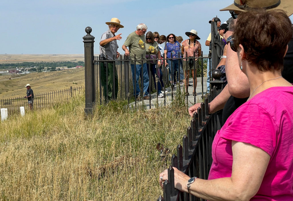
Michael Hasch, a seasonal National Park Service ranger and battlefield interpreter at the Little Bighorn National Monument, during a talk on September 4, 2021.
I wish I could say that in a trip that covered something like 6,000 miles over 23 days that we met lots of people and had deep conversations that led to profound personal discovery. We didn’t. And maybe the stats mentioned in that first sentence explain part of the reason. We were actually actively traveling for just 15 or 16 days, which means we were covering 400 miles a day on average. That’s nothing for The Great American Road Warrior, for whom 500 or 600 or even 1,000 miles a day is routine (I once took a trip back to Chicago from Berkeley with my son Eamon that covered 2,100 miles in all of 40 hours, even with an overnight stop in Cheyenne, Wyoming). The point being: Even at 400 miles a day, the modern traveler isn’t going to spend a lot of time in intimate conversation with random acquaintances on the road. Even if you’re the kind of person who easily strikes up a conversation with a total stranger, which mostly I am not.
On the other hand, the conversations that do happen tend to stand out.
When John and I stopped at the Little Bighorn Battlefield National Monument in Montana, one of the main destinations on our trip, we encountered a group at the top of what has long been known as Last Stand Hill, the place where Lt. Col. George A. Custer and the remnants of his command died together on June 25, 1876. People were listening to a ranger named Michael Hasch recount the progress of the battle. I was impressed by Hasch’s command of the lore surrounding the battle, including the many first-person accounts from Native American participants. One moment I remember in particular from his talk: The moment when a Cheyenne named Lame White Man rallied fellow warriors to the attack by shouting, “Come! We can kill them all!” Hasch has a deep voice, and it carries. He spoke slowly, deliberately, and when he intoned those words, it was like the moment was coming alive again. After his presentation, I talked to Hasch and discovered he is a former Pittsburgh newspaper reporter who began volunteering at the battlefield a decade ago. One of the people listening to that conversation was a woman who used to be a local news anchor in San Francisco, and that led to yet another conversation with a stranger. But that’s another story.
So, that’s one encounter during our trip across the country. Here are a couple of others:
Laura and Jamie at the top of Teton Pass, Wyoming.
We met Laura and Jamie at the top of Teton Pass, Wyoming (elevation 8,432 feet above sea level). We had driven up the west side on our way from Idaho to the Grand Tetons and Yellowstone. They arrived pushing a heavily-laden tandem bike up the east side.
Jamie and Laura’s custom-built tandem, complete with trailer. I believe they said the total weight of their outfit was about 200 pounds — no joke when climbing steep mountain roads.
What was their story? They said they had both quit their jobs, sold their home and most of their belongings and had a custom tandem built. Their plan was (presumably still is) to spend five years cycling around, mostly in Europe. They had ridden from Connecticut by way of Louisiana to get to this spot on Wyoming Highway 22, and planned to cycle up the west flank of the Tetons before heading east into Yellowstone. After that, they’d make their way east and south to Florida, where they planned to spend the winter before heading to Europe. The biggest impression they made on me was how cheerful they were after pushing their machine up the last two miles of busy roadway up to the pass. I, too, have pushed my bike up steep mountain roads, and I’m not sure I was smiling all the way.
What more can I say about these two? Godspeed, Laura and Jamie.
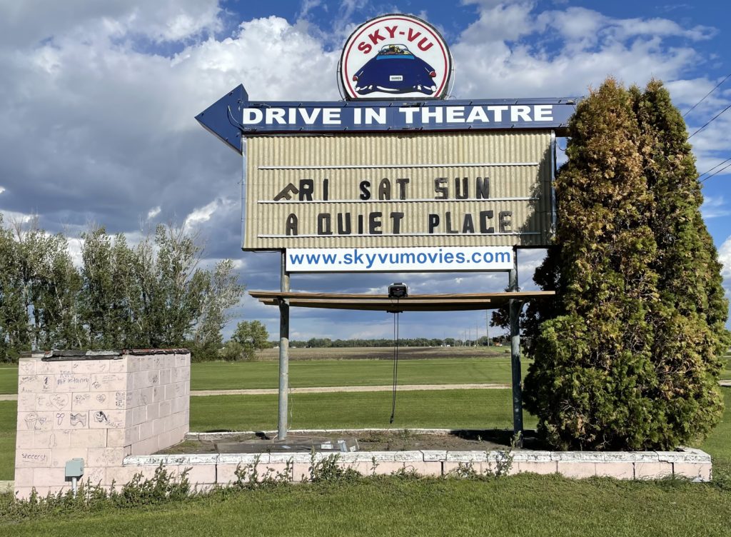
The motive for our road trip (or excuse, maybe) was to commemorate what would have been our dad’s 100th birthday in early September by visiting his birthplace and first hometown in northwestern Minnesota. We got to Marshall County a few days after the actual centennial, and spent much of the day taking pictures at a rural Lutheran church where our grandfather, Sjur Brekke, was pastor a century ago. The we headed to Alvarado, population 300, where Sjur, our grandmother, Otilia, and dad lived (and where Sjur saw to another Lutheran congregation). After that, we drove the five or six miles east on Minnesota Highway 1 to Warren, the county seat, where Dad was actually born. One thing I had discovered about Warren during a 2018 trip through the area (and somehow had missed during a couple of much earlier visits) is that the town’s drive-in theater, the Sky-Vu, is still in business.
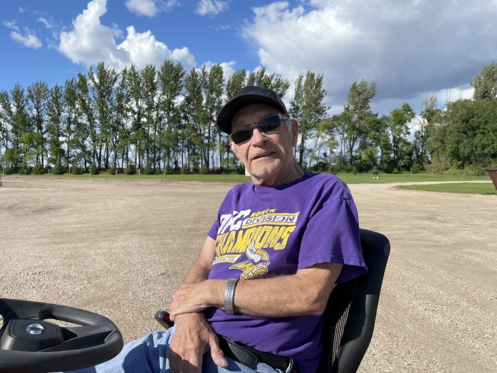
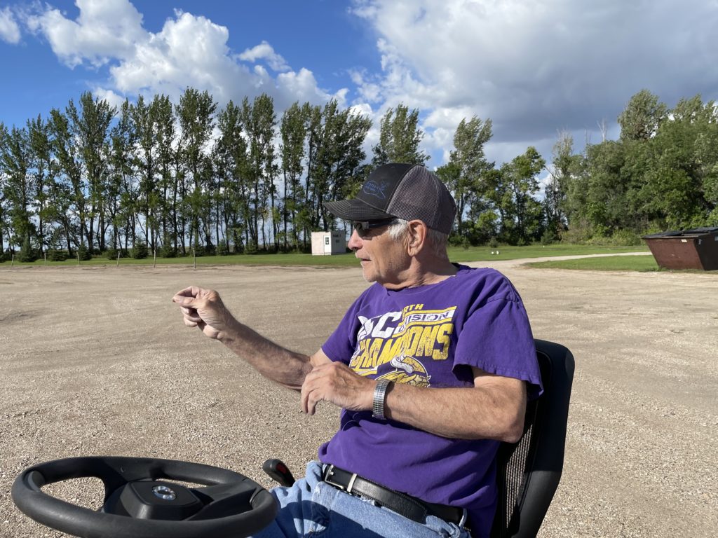
John and I pulled in to the Sky-Vu to take a look. Like everyplace else where we stopped for more than a couple of minutes, we brought out cameras and started strolling around taking pictures. Next door, a man on a riding mower was cutting the grass on a sprawling lawn in front of a big ranch-style house painted the same pink color as the concession stand/projection booth at the theater. After about five minutes, he drove the mower over to see what we were up to.
“Your place?” I said. Or something like that. And it was. His name: Leonard Novak, and he said he’d bought the Sky-Vu in the early 1970s and that he and his family have been running it since; a grandson is doing most of the work now. As it happens, KFAI in Minneapolis did a nice radio documentary about 10 years ago featuring the Novaks and the Sky-Vu in which Leonard says he doesn’t foresee the theater closing, ever: “We’re the only one (drive-in) between Winnipeg and Minneapolis.” And judging from the fact it’s still open, and still showing first-run movies, maybe he’s right.
Leonard Novak. Owner, Sky-Vu Theater, Warren, Minnesota.
"You can find all kinds of ruins on the Great Plains; in dry regions, things last a long time. When an enterprise fails on the plains, people usually just walk away and leave it. With empty land all around, there is not much reason to tear down and rebuild on the same site. ..." — Ian Frazier, "Great Plains"
"For every surviving ranch, I passed a dozen ruined houses. The prairie was dotted about with wrecks. Their windows, empty of glass, were full of sky. Strips of ice-blue showed between the rafters. Some had lost their footing and tumbled into their cellars. ... Skewed and splayed, the derelicts made up a distinctive local architecture." — Jonathan Raban, "Bad Land"
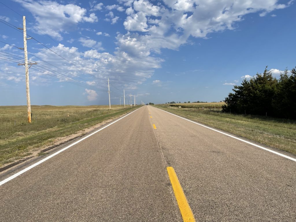
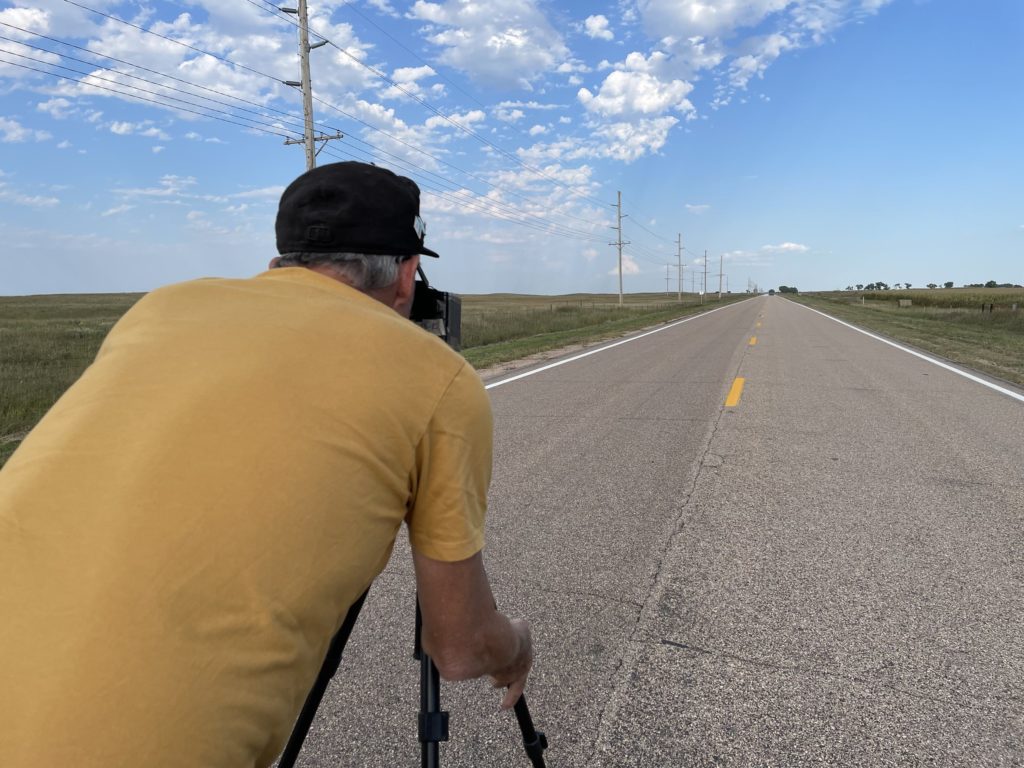
In mid-September, my brother John and I drove west from Chicago on our return trip to California. We didn’t follow anything like a standard route. From western Illinois across the prairies and into the plains of eastern Wyoming we stuck almost exclusively to two-lane roads, or at least non-interstates: U.S. 30 and 20 across Iowa; Nebraska Highway 12 and U.S. 20 again (after veering briefly into South Dakota along the Missouri River) across the Cornhusker State; and U.S. 20 once more until it merged with Interstate 25 near Casper, Wyoming. (Here’s a collection of pictures from both the east- and westbound legs of the trip.)
One morning along the way, we backtracked from Chadron, Nebraska, to Rushville, then headed north toward the Pine Ridge Oglala Sioux Reservation just across the South Dakota border. The site of the 1890 Wounded Knee massacre is on the reservation; it’s a spot I’ve long wanted to visit, and it was sort of an obvious bookend for our eastbound stop at the Little Big Horn battlefield.
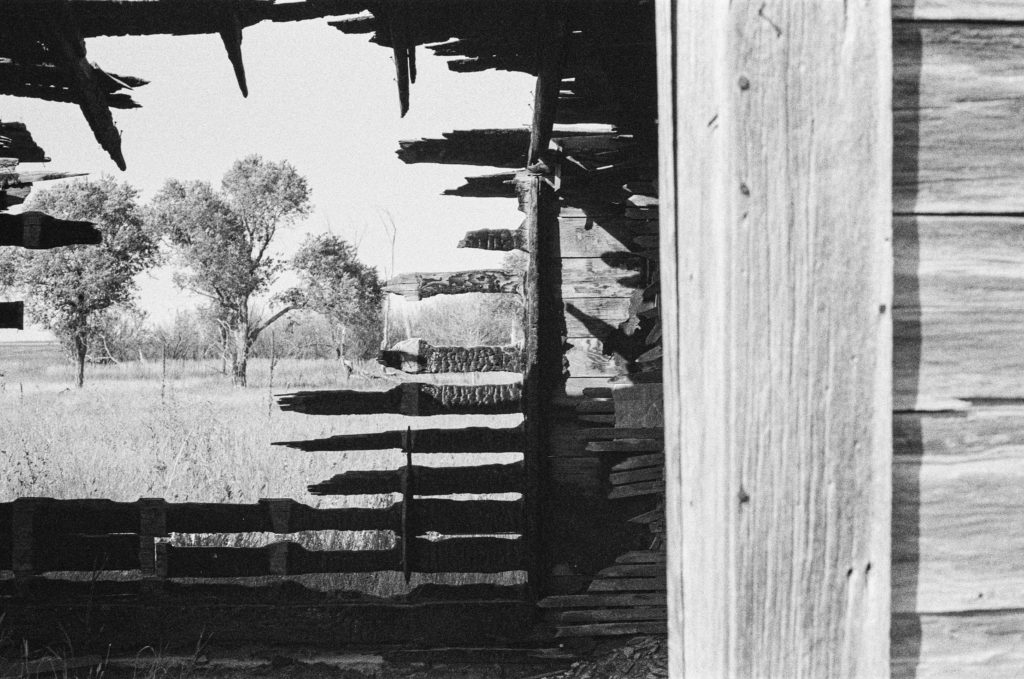
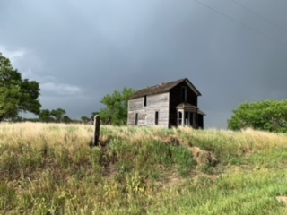
A few miles up the road toward Pine Ridge we passed the house above. Both John and I, who had brought film cameras to record our travels, said we needed to remember to stop at the place on the way back from Wounded Knee. Three or four hours later, I was speeding back south when John said, “There it is.” “Really? Are you sure? I don’t think so. That doesn’t look like the same place to me.” “No — that’s the place.”
I hit the brakes hard, and we turned onto a dirt road adjacent to the house. I took note of a man on a tractor about a quarter-mile away and wondered whether he had some connection to the house. But I didn’t think about that for long. We broke out our cameras, including John’s 5-by-7 pinhole camera, a couple of older Nikons, and one of several rangefinder models I had brought along.
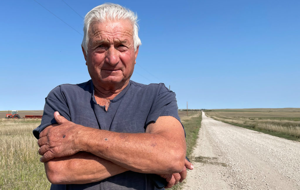
After about 15 minutes, I saw that the man on the tractor had stopped his plowing, climbed down, and was walking toward the house. I more than half-expected he would ask what the heck we were doing on his land. Instead, he said something like, “Picture day, huh, fellas?” Yes, the house was on his family’s land, but he was pretty genial and really just curious about what we were doing. It turned out that this was far from the first time he’d encountered passers-by who had stopped to photograph the house.
And about the house: The farmer/rancher, who told us his family name was Viher and that he’d been born here just after World War II , said it had been owned by a family named Rush (maybe the Rushes of Rushville?) and was last occupied in the 1940s. Mr. Viher said there was a problem with occasional vandalism on the property — at some point, someone had come along and burned down a barn adjacent to the house; a half-burned shed still stood.
On the Viher Ranch, Sheridan County, Nebraska.
There’s probably an essay waiting to be written here about why ruins like this attract our attention, but given the fact it’s taken me four months to sit down and write even a bare description of the visit, this is not it.
I did think to ask Mr. Viher if I could take his picture before he went back to plowing. He was agreeable.
Mr. Viher, September 2021.
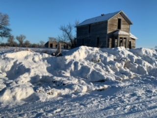
Afterward, I did something I’d never done before: I had the picture printed, figured out the Vihers’ address on their ranch, and sent it to him. I didn’t hear back for a while and wouldn’t have been too surprised to get no response. But on New Year’s Eve, I got an email thanking me for the picture and respondng with a collection of snapshots of the house and other ranch scenes.
And those shots, if nothing else, show me that that picturesque wreck of a house out there on the plains speaks just as much to at least some of the folks living out there as it does to the random traveler with a camera.
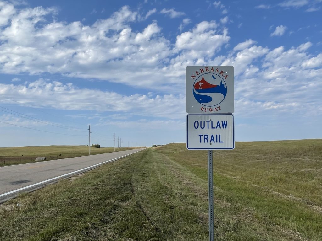
Nebraska Highway 12, the “Outlaw Trail Scenic Byway,” in Keya Paha County. Everyone we encountered seemed law-abiding. Someone stopped while we were taking pictures of the sign to make sure we were OK.
We left Chicago on Wednesday morning and made it to Sioux City, Iowa, following what’s become a typical late-ish start (10:30, say, due to how slow I am to get ready) and quitting just at dark. It means we’re on the road for 10 or 11 hours each day.
Thursday we left Sioux City at about the usual time and spent the day zig-zagging back and forth across the Nebraska and South Dakota border as we headed west on two-lane roads, mostly on Nebraska’s Highway 12 and, further west, on U.S. 20. Four hundred miles or so later, we wound up in Chadron, Nebraska.
Someone — one would guess tourism-minded state and local officials and hopeful Chamber of Commerce folks — has styled Highway 12 “the Outlaw Trail Scenic Byway.” I can attest that the route is scenic, with sweeping vistas of the rolling country along the Missouri River on the road’s eastern end that transition slowly into the high plains and beginning of the Sand Hills on the western end. My only complaint, and you knew there had to be one, is that there’s no ready explanation along the road or on the Outlaw Trail websites about why, precisely, it’s called that.
One of the sites advertises an “adventure of friendly people, scenic sights and the history of Native American Tribes, outlaws, cowboys and pioneers. … Communities have museums waiting to be explored and murals waiting to be viewed. This region offers seasonal opportunities to hunt fauna or flora with arms or camera. Please check on the current Covid situation.”
Highway 12 crosses the 100th Meridian west of Greenwich in Keya Paha County (‘keya paha is “turtle hill” in the Dakota language, per what I see online). I have an app on my phone that gives a very precise reading (to four decimal places) of latitude and longitude. When we got to the approximate locale, we parked at a crossroad and I walked about 1,000 feet back to the spot the app indicated was very nearly precisely the exact location of the meridian (“very nearly precisely” because the app would jump between 99.9996 and 100.0005 degrees with a single stride east or west).
John and I both took pictures to commemorate the spot. I wish I’d taken a shot of the little mark I gouged out on the road’s shoulder to mark the location.
See that fencepost? It’s just about exactly on the 100th Meridian. Nebraska Highway 12, looking east into the humid eastern lowlands from the 100th Meridian.My brother John lining up a pinhole camera 100th Meridian shot on sparsely traveled Nebraska Highway 12.
Why bother with the 100th Meridian? In the late 19th century, John Wesley Powell, the early explorer of the Grand Canyon and first head of the U.S. Geological Survey, proposed that line of longitude as marking the boundary between the wetter more humid areas of the eastern United States and the more arid regime of the West. Subsequent research found Powell’s observation to be spot on — though his other important ideas about the implications for development of the western United States have been largely ignored. More recently, scientists have been assessing how the dry transition that occurs along the 100th Meridian appears to be moving east due to the influence of climate change. You can read more here: “Whither the 100th Meridian? The Once and Future Physical and Human Geography of America’s Arid–Humid Divide. Part I: The Story So Far.“
I’ll also note before posting that we have not one but two 100th Meridian museums on the Plains: one in Cozad, Nebraska, one in Erick, Oklahoma. Next time I’m roaming around out here. …
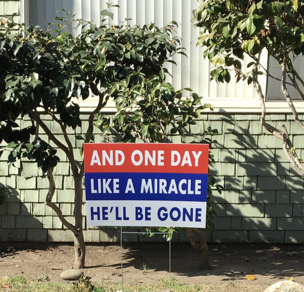
It’s the day we have an apparent victor in the presidential race. As a journalist working for a middle-of-the-road outlet that doesn’t hold with political activism — not something I’m arguing with for the purposes of this post — I’m not given to broadcasting opinions on the record. This preserves an appearance of fairness in the way I approach my work. Not to say that the appearance is an illusion, because being open to new people, facts, ideas and opinions, to listen, to try to understand them, weigh them, judge them and convey them fairly is central to the work.
But having developed a habit of thought like that also makes me constantly check myself and my own conclusions and to approach many — most?— claims I encounter in the world with at least a little skepticism. So on a day like this, when so many people around me — friends, family, community — are celebrating, I’m not inclined to join in the party.
As I wrote a friend earlier, my pessimism is not to be easily tamped down, and I think the celebrations are a little premature given the reality that our defeated incumbent seems determined to put up a fight before acceding to the will of the voters. Foremost in my mind are fears about what the next chapter of the election battle — the recounts and the court fights — will look like and how much damage the disappointed loser can still do to the government and our democracy while he still controls the levers of power.
The net effect is a little corrosive to any sense of joy I might have. Yeah, the celebrations are ongoing, and it’s good to see the people around me relieved and happy. I just can’t stop myself from thinking, “It ain’t over till it’s over.” As my friend said in regard to the current occupant of the Executive Mansion, “Two and a half months is a very long time for a wounded sociopath of his magnitude to occupy the presidency.”
I came across the photograph below in the excellent slideshow the Los Angeles Times posted summarizing two days of protests and associated unrest in the city. (The slideshow is part of the Times’ running story on the George Floyd protests. The large version of the image is here.)
To my eye — and I’ve got one good one — this is a thrillingly beautiful image. The combination of the deserted freeway (with the completely jammed adjacent lanes visible), the skateboarder in perfect focus, the police vehicles out of focus down the slope, the spectators on the overpass in the background recording the scene: such subtly balanced elements.
And it’s just a moment. It passed in the smallest fraction of a second. The skateboarder was in motion, no doubt, and everything else, including the photographer (the Times’ Wally Skalij), likely shifted slightly, too, before the next frame fired.
The skateboarder’s relaxed body language belies the urgency and strangeness of his situation. There’s more assessment than defiance in his stance. I have no idea what he was headed for, what he was thinking, whether he was looking for an escape route, or whether there was any way off the freeway without getting arrested. The whole scene kind of reminds me of Steve McQueen trying to outrun the Germans in the motorcycle sequence in “The Great Escape.”
Last, reality has been suspended here. A man engages a photographer in a space that neither would ever inhabit together except in the midst of a catastrophe. The tragedy that brought both of them to this spot is dimly visible here in the flashing emergency lights in the distance. But the pain and rage sweeping over the city and hanging over the world beyond, the police officer throttling the life out of a man on the pavement, the terrible indifference to the dying man’s pleas, have been pushed nearly out of sight. For just this moment.