"You can find all kinds of ruins on the Great Plains; in dry regions, things last a long time. When an enterprise fails on the plains, people usually just walk away and leave it. With empty land all around, there is not much reason to tear down and rebuild on the same site. ..." — Ian Frazier, "Great Plains"
"For every surviving ranch, I passed a dozen ruined houses. The prairie was dotted about with wrecks. Their windows, empty of glass, were full of sky. Strips of ice-blue showed between the rafters. Some had lost their footing and tumbled into their cellars. ... Skewed and splayed, the derelicts made up a distinctive local architecture." — Jonathan Raban, "Bad Land"
In mid-September, my brother John and I drove west from Chicago on our return trip to California. We didn’t follow anything like a standard route. From western Illinois across the prairies and into the plains of eastern Wyoming we stuck almost exclusively to two-lane roads, or at least non-interstates: U.S. 30 and 20 across Iowa; Nebraska Highway 12 and U.S. 20 again (after veering briefly into South Dakota along the Missouri River) across the Cornhusker State; and U.S. 20 once more until it merged with Interstate 25 near Casper, Wyoming. (Here’s a collection of pictures from both the east- and westbound legs of the trip.)
One morning along the way, we backtracked from Chadron, Nebraska, to Rushville, then headed north toward the Pine Ridge Oglala Sioux Reservation just across the South Dakota border. The site of the 1890 Wounded Knee massacre is on the reservation; it’s a spot I’ve long wanted to visit, and it was sort of an obvious bookend for our eastbound stop at the Little Big Horn battlefield.
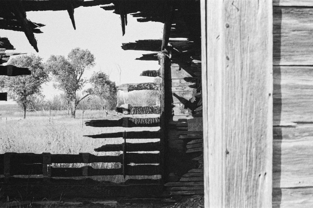
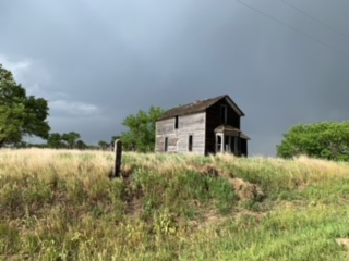
A few miles up the road toward Pine Ridge we passed the house above. Both John and I, who had brought film cameras to record our travels, said we needed to remember to stop at the place on the way back from Wounded Knee. Three or four hours later, I was speeding back south when John said, “There it is.” “Really? Are you sure? I don’t think so. That doesn’t look like the same place to me.” “No — that’s the place.”
I hit the brakes hard, and we turned onto a dirt road adjacent to the house. I took note of a man on a tractor about a quarter-mile away and wondered whether he had some connection to the house. But I didn’t think about that for long. We broke out our cameras, including John’s 5-by-7 pinhole camera, a couple of older Nikons, and one of several rangefinder models I had brought along.
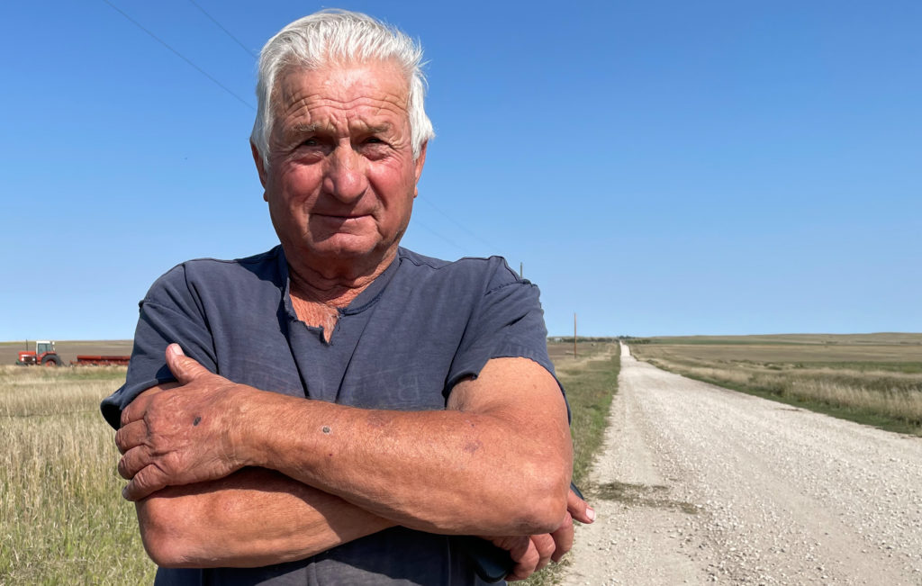
After about 15 minutes, I saw that the man on the tractor had stopped his plowing, climbed down, and was walking toward the house. I more than half-expected he would ask what the heck we were doing on his land. Instead, he said something like, “Picture day, huh, fellas?” Yes, the house was on his family’s land, but he was pretty genial and really just curious about what we were doing. It turned out that this was far from the first time he’d encountered passers-by who had stopped to photograph the house.
And about the house: The farmer/rancher, who told us his family name was Viher and that he’d been born here just after World War II , said it had been owned by a family named Rush (maybe the Rushes of Rushville?) and was last occupied in the 1940s. Mr. Viher said there was a problem with occasional vandalism on the property — at some point, someone had come along and burned down a barn adjacent to the house; a half-burned shed still stood.

There’s probably an essay waiting to be written here about why ruins like this attract our attention, but given the fact it’s taken me four months to sit down and write even a bare description of the visit, this is not it.
I did think to ask Mr. Viher if I could take his picture before he went back to plowing. He was agreeable.

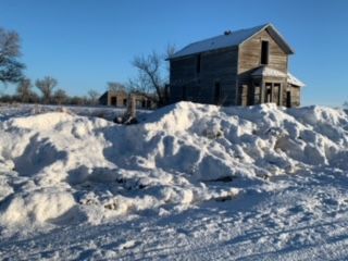
Afterward, I did something I’d never done before: I had the picture printed, figured out the Vihers’ address on their ranch, and sent it to him. I didn’t hear back for a while and wouldn’t have been too surprised to get no response. But on New Year’s Eve, I got an email thanking me for the picture and respondng with a collection of snapshots of the house and other ranch scenes.


And those shots, if nothing else, show me that that picturesque wreck of a house out there on the plains speaks just as much to at least some of the folks living out there as it does to the random traveler with a camera.

It makes you wonder about how the family picked out the spot, the orientation of the windows, if the house was built from a kit, where the people lived while it was being built…..days when it was hot or cold, how far the kids had to walk in the snow to get to school, and who drove away from it the last time.
I think the folks who put this place up were thinking about the weather and how to keep the place warm in winter for sure. That front window is facing due south, and there is a sort of thin windbreak to the north and northwest of the house. A lot of these areas on the Plains would have rural schoolhouses, but I am guessing that the nearest school was in town, which is six miles away. Too far to walk!
In terms of what people were thinking when they shut things down and left, Jonathan Raban’s “Bad Land” is a good read. It’s about eastern Montana, which is pretty similar to this area in northern Nebraska.