
We left Chicago on Wednesday morning and made it to Sioux City, Iowa, following what’s become a typical late-ish start (10:30, say, due to how slow I am to get ready) and quitting just at dark. It means we’re on the road for 10 or 11 hours each day.
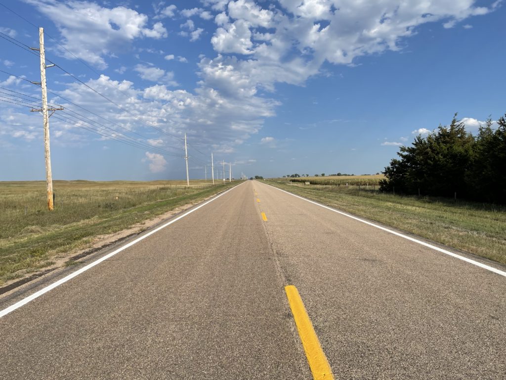
Thursday we left Sioux City at about the usual time and spent the day zig-zagging back and forth across the Nebraska and South Dakota border as we headed west on two-lane roads, mostly on Nebraska’s Highway 12 and, further west, on U.S. 20. Four hundred miles or so later, we wound up in Chadron, Nebraska.
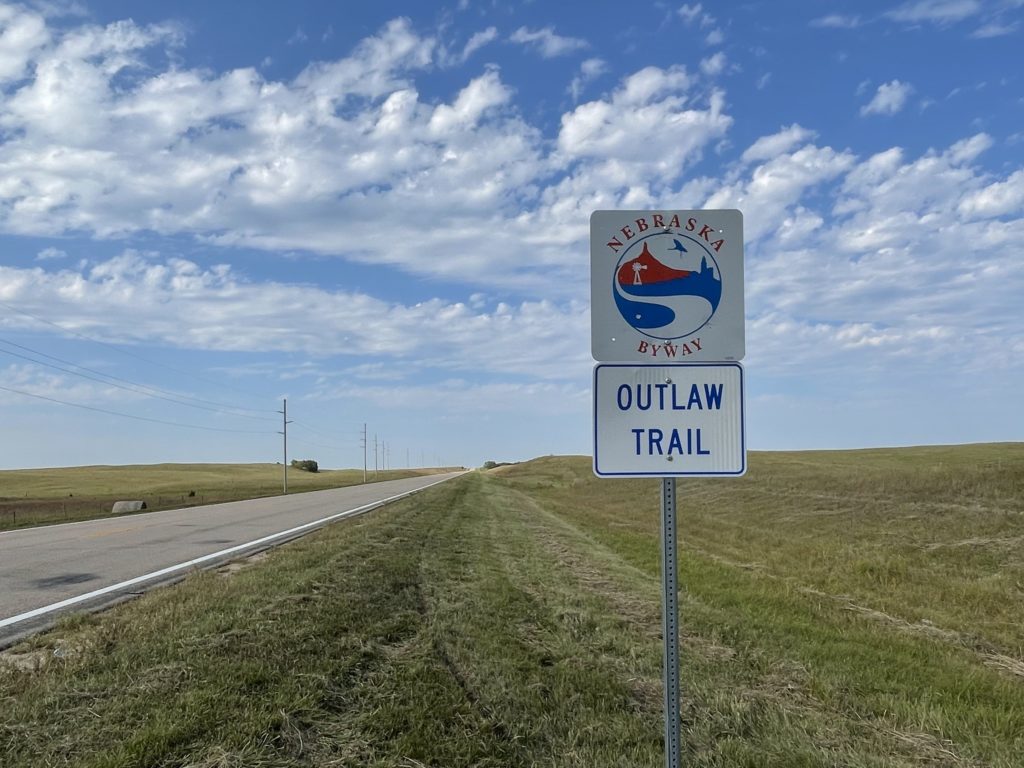
Someone — one would guess tourism-minded state and local officials and hopeful Chamber of Commerce folks — has styled Highway 12 “the Outlaw Trail Scenic Byway.” I can attest that the route is scenic, with sweeping vistas of the rolling country along the Missouri River on the road’s eastern end that transition slowly into the high plains and beginning of the Sand Hills on the western end. My only complaint, and you knew there had to be one, is that there’s no ready explanation along the road or on the Outlaw Trail websites about why, precisely, it’s called that.
One of the sites advertises an “adventure of friendly people, scenic sights and the history of Native American Tribes, outlaws, cowboys and pioneers. … Communities have museums waiting to be explored and murals waiting to be viewed. This region offers seasonal opportunities to hunt fauna or flora with arms or camera. Please check on the current Covid situation.”
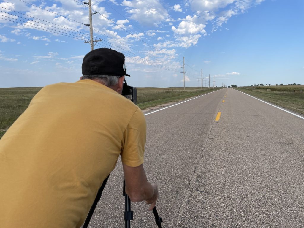
Highway 12 crosses the 100th Meridian west of Greenwich in Keya Paha County (‘keya paha is “turtle hill” in the Dakota language, per what I see online). I have an app on my phone that gives a very precise reading (to four decimal places) of latitude and longitude. When we got to the approximate locale, we parked at a crossroad and I walked about 1,000 feet back to the spot the app indicated was very nearly precisely the exact location of the meridian (“very nearly precisely” because the app would jump between 99.9996 and 100.0005 degrees with a single stride east or west).
John and I both took pictures to commemorate the spot. I wish I’d taken a shot of the little mark I gouged out on the road’s shoulder to mark the location.

Why bother with the 100th Meridian? In the late 19th century, John Wesley Powell, the early explorer of the Grand Canyon and first head of the U.S. Geological Survey, proposed that line of longitude as marking the boundary between the wetter more humid areas of the eastern United States and the more arid regime of the West. Subsequent research found Powell’s observation to be spot on — though his other important ideas about the implications for development of the western United States have been largely ignored. More recently, scientists have been assessing how the dry transition that occurs along the 100th Meridian appears to be moving east due to the influence of climate change. You can read more here: “Whither the 100th Meridian? The Once and Future Physical and Human Geography of America’s Arid–Humid Divide. Part I: The Story So Far.“
I’ll also note before posting that we have not one but two 100th Meridian museums on the Plains: one in Cozad, Nebraska, one in Erick, Oklahoma. Next time I’m roaming around out here. …