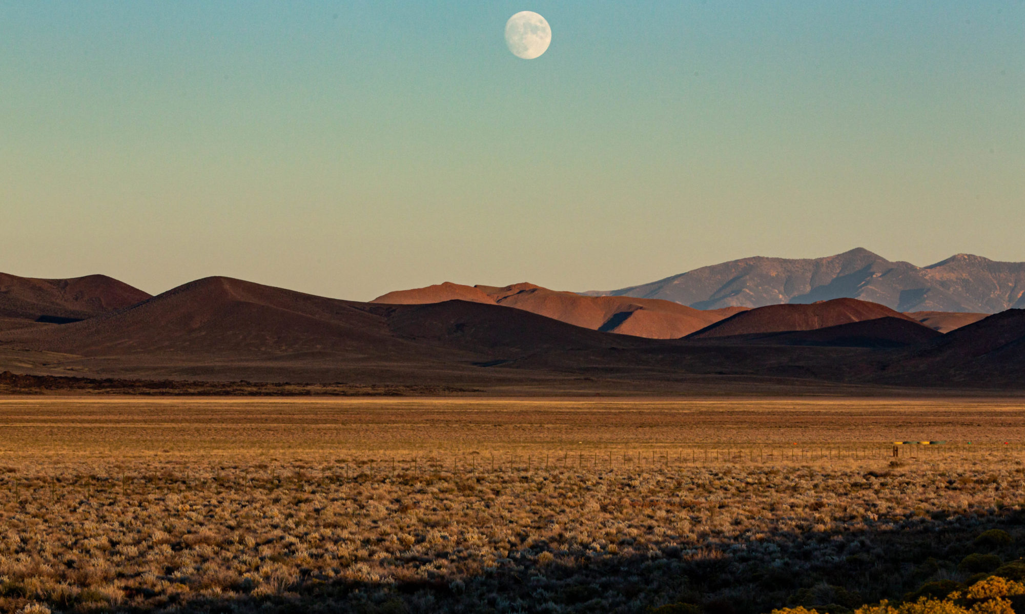
In a neighborhood in the hills just northeast of campus, Virginia Street climbs and twists to a dead end just above a short avenue called La Vereda Road. At the very top of Virginia, you find yourself in what appear to be a couple of private driveways. It looks like you’ve reached the top. But there’s a path with jury-rigged railings and steps, some nicely carpentered, some hand-cut into a very steep slope. Going up to the top, your way is blocked by the fence and gate above. One sign seems to invite you to go farther; another sign warning of serious federal consequences — the land on the other side belongs to the Lawrence Berkeley National Laboratory — and a heavy lock on the gate stop you in your tracks. Except for the fact someone’s going out of their way to maintain access across private property up to the gate, I’d think the gate is always locked. I’ve been up there maybe half a dozen times, have never found anyone on the street who knows what the deal is and have struck out looking online for any info. Maybe calling the lab is my next step, or maybe someone who reads this will have a key for that lock. (Below: the view from the gate, shot through my sunglass lens.)
4 Replies to “Walking Conundrum”
Comments are closed.

I suppose you looked on the satellite map. Something’s going on back there they don’t want us to know about, that’s for sure. Or, maybe the don’t want kids in there with their dirt bikes and fun stuff. Beautiful view, though.
This reminds me that I forgot to comment when you googlemapped your dog walk up to Grizzly Peak that .. Your walks are ridiculous! 🙂
Looks like there could be an apparition in the second photo. I wonder if it’s Nellie…
Marie, doubtless it’s Nellie. And Nellie, I’m sure the lab is protective of its domain, though I think I need a CIA map-reading expert to get anything useful from the Google satellite images.