We witnessed the eclipse in Casper, Wyoming, took our time packing up, had an early dinner downtown, and then headed out on an alternate route toward Denver, state highways 220 and 487, thinking to avoid the parking lot that Interstate 25 had become with the Eclipsed Masses heading back to their lives.
In fact, there was very, very little traffic along 487 — although probably a lot by that highway’s standards — and we didn’t see any signs of the masses until we hit the settlement of Medicine Bow, which I recall being the setting, sort of, for the old TV western (and perhaps the movie and novel that preceded it) “The Virginian.” In the dusk, a long line of cars waited to gas up at what looked like a two- or four-pump gas station; a large crowd milled around in the huge parking area outside the adjacent store.
We finally joined the main exodus when we got to Interstate 25 in Cheyenne, and had about 40 miles of stop-and-go traffic down to Loveland, where the first thing we saw when we got off the freeway was a couple fighting on the side of the road (yes, I stopped to see what was happening when the woman appeared to flag us down; seeing that alcohol appeared to be involved, that the parties didn’t appear in danger of doing each other any real physical harm, and that they didn’t want the services of local law enforcement, we went on our way. They turned out to be staying at our motel).

***
Anyway. I don’t have time this morning — Thursday, in Moab, Utah — to give a blow by blow of what took us from there to here. But Tuesday took us to Denver International Airport, where The Dog and I took leave of Kate, who flew back to the Bay Area so she could be at work on Wednesday.
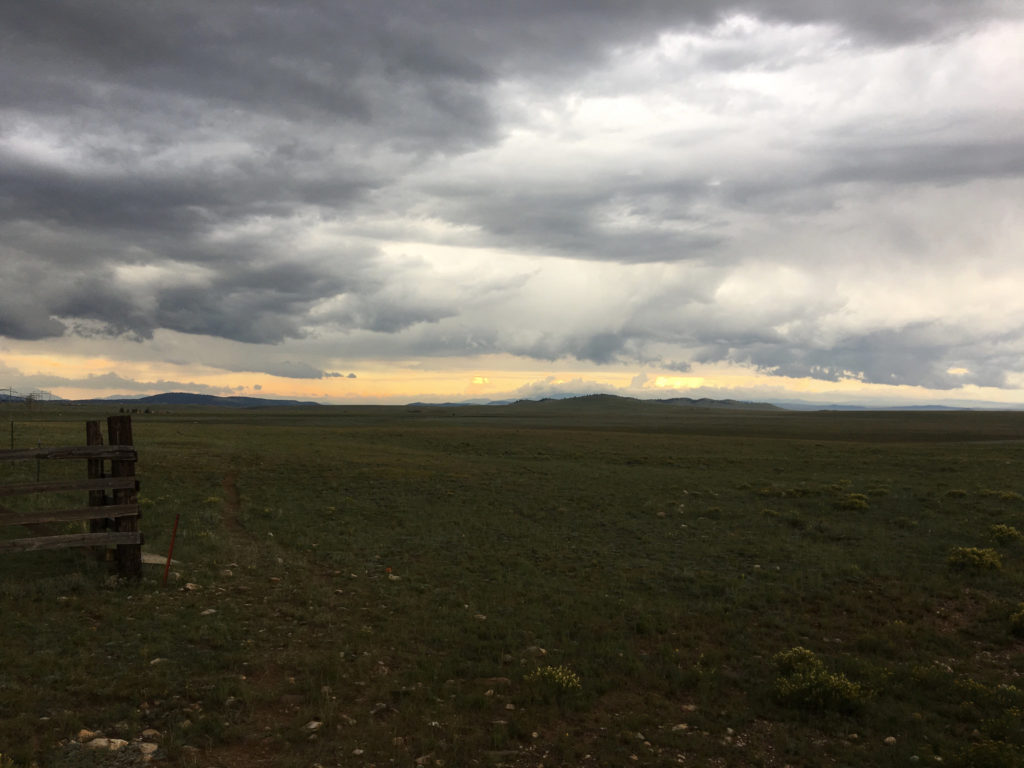
Then The Dog and I — I did the driving — headed out of the Denver area on U.S. 285, through a couple of pretty vigorous mountain thunderstorms, across Kenosha Pass and South Park and eventually to U.S. 50, where we turned west and stayed the night at a mountain lodge. (My brief adventures trying to find the hotel, just below 11,312-foot Monarch Pass, and my hourlong radio appearance by phone from my Wi-Fi-less, cellphone-less hotel room on KQED’s “Forum” program are entertaining details perhaps to be expanded upon later.)

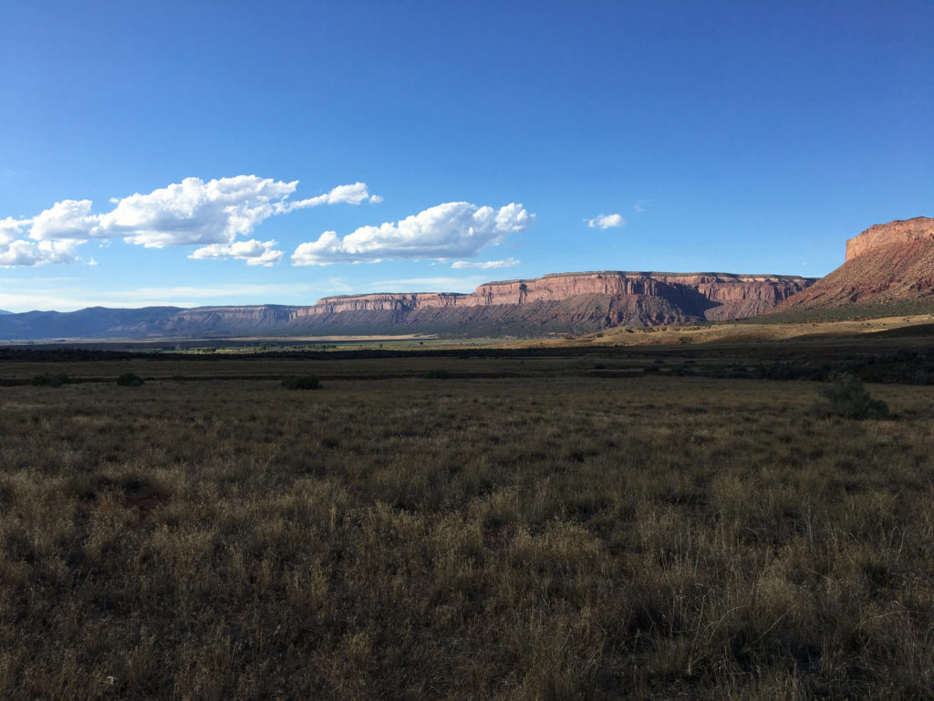
Wednesday we crossed Monarch Pass on U.S. 50, then wound our way south and then west and then north from Montrose, Colorado, to Moab (U.S. 50, U.S. 550, Colorado highways 62, 145 and 90, Utah 46 and U.S. 191 were all encountered in this leg of the journey).
All I can say about this part of the world: It’s insanely beautiful, with virtually every turn revealing something I’m taken aback by. And what a varied landscape, from mountain crags to miles and miles and miles of red rock canyons and from dense conifer forests to oceans of sagebrush.
***
We’re about 900 miles from Berkeley at this point, and I was tempted to try and do it all in one go. But I won’t. Today we’re headed for Ely, Nevada, about 400 miles away. That will leave us with a long but eminently do-able drive tomorrow (I used to drive the 500 miles from Berkeley to Eugene at the drop of a suggestion; traveling solo with The Dog, however, is slower. Plus I’m always stopping to gawk at something or to read a roadside plaque).
More later.

