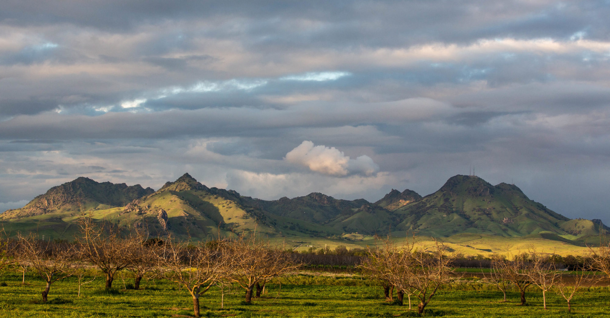
Storm Week, Potrero Hill

potrerohill032411.jpg

At the foot of the pedestrian overpass that cross U.S. 101 from 18th and Utah (west side of U.S. 101) to 18th and San Bruno (east side of the freeway). I was on my way into work. Can’t remember if this was the day I locked my keys in the car (Triple A came and got them for me), or the day I jump-started a coworker’s car (she had left her lights on), or the day I had delivered another coworker’s purse after she forgot it at work. The only thing I know for sure is that we had rain this day, like every other day of the week. Below: U.S. 101, looking south from the pedestrian overpass toward Bernal Heights (Utah Street turning west into 18th Street below and to the right).

freeway032411.jpg

Berkeley: Late Winter Weather and Bud News

buds022611.jpgThis morning and tomorrow morning: probably the two coldest mornings of the winter here. It was 34 at our house early today, and looks like we’re headed there again tomorrow. (Here’s the National Weather Service’s summary of record lows set this morning. Berkeley’s all-time low for Feb. 26, recorded at a station on campus, is 34, according to the Western Regional Climate Center’s statistics.

By early afternoon, we were up in the high 40s. Beautiful cumulus-filled sky. I noticed the buds on the maple tree next store just as we got in the car to drive to the South Bay.

Ephemeral Stream

gutter021911.jpg

In the big book of seasons, the last three months is supposed to be one season. It feels like three.

Late November and all of December, it was winter here in our coastal lowlands. Meaning: wet. Consistently, almost insistently rainy.

Climate folks warned it might not last: This is a La Niña winter, and the tap could be turned off just like that. And come the first of the year, it was. It stayed dry, bone-dry almost, for virtually all of January and the first half of February. I’ve infuriated Easterners and Midwesterners by mentioning how warm it got during part of that inter-rain-num, so I won’t talk about that again.

Last weekend: Clear and cool, with rain forecast to return Monday. The weather changed on scheduled, and we got a good six-day dousing. In the Sierra, huge snow, just like December. Along our street, with its 22-year-old pavement slowly going to gravel, we have our ephemeral stream running down the gutter again.

Day at the Beach

Below: a slideshow of an afternoon up at Point Reyes (on the Pierce Point Road and at Kehoe Beach, to be more specific). It was utterly gorgeous on the strand, which looked like you could walk it all day and never reach the end. (And by way of explanation, we went out there with our neighbors and friends, Jill and Piero Martinucci, who you see in some of the pictures.)

Berkeley Weather: High and Low

It’s a little after midnight on February 6. We just walked home from downtown Berkeley with our friends Piero and Jill. It’s warm out. The entirely unofficial reading at our house is 65.1 degrees–up a fraction of a degree in the last half-hour. A UC-Berkeley weather station downtown records 67.8 right now, and most temperatures in the area right now are in the mid 60s up to 70.

The record high for this date in Berkeley, according to data from the Western Regional Climate Centter, is 71, set in 1987. The record high minimum–the highest low for this date–is 55, set in 1963. Hard to judge where we’ll wind up at dawn, but I’d say we have a good shot of setting a new “highest low” record.

Our average high and low for the 6th of February: 59 and 45.

Update (1:30 p.m.): The overnight low at UC-Berkeley’s downtown weather station was 63.6 degrees, recorded at 8:17 a.m. The official station is on campus near McCone Hall, but even given the fact the downtown location appears to be in a warmer spot than the official one, it’s safe to bet the all-time “highest low” record was broken this morning. And high temperature records for the date are being rewritten everywhere around the bay, too. Here’s a map (from the University of Utah’s MesoWest service) and a record summary (from the National Weather Service in Monterey).

One Last Thing About That Snow

Before I bid adieu to the subject of the Great Groundhog Eve’s Blizzard (a bullet I dodged, I suppose, but whose trajectory I got to enjoy from afar), a couple final keepsakes. First, a segment from Chicago’s Fox affiliate, Channel 32, which takes a look at its coverage of the 1967 blizzard. Entertaining stuff that focuses less on the weather and its effects than on the way the TV and newspapers covered the events. I had my first newsroom job at Chicago Today five years after these clips were shot–our offices were in Tribune Tower, across Michigan Avenue from the Daily News and Sun-Times Building–and the scenes are familiar.

Friday Flashback: The Chicago Blizzard of 1967: MyFoxCHICAGO.com

And next is a short film of New York City’s Boxing Day Blizzard–did anyone call it that?–that I came across while poking around Roger Ebert’s site today. Ebert went gaga over the film (check out that link for a detailed discussion on how the filmmaker shot and edited the movie), and it’s been viewed half a million times so far, so I’m not sure how I missed it. It’s extraordinary.

Coinage: The Great Groundhog’s Eve Blizzard

The headline is all I have to say: I just want to be among the first to dub this week’s monster winter storm in the eastern half three-fifths of the United States The Great Groundhog’s Eve Blizzard. In fact, I think Groundhog’s Eve is a concept that needs to be explored further.

In other news, the big post-storm controversy in Chicago is over the timing of the city’s closure of Lake Shore Drive at the height of the storm (see today’s Sun-Times: City stands by Lake Shore Drive closing; and WBEZ: The Great LSD Gridlock: Blizzard of 1979 redux? ). The Sun-Times also has a stunning photo gallery of the snowbound Drive (that’s the source of the photo below).

lakeshoredrive020311.jpg

Our Blizzard

67snowstorm020111.jpg

Photo from the Chicago Tribune. The caption on the Trib site doesn’t give the location, but I’m pretty sure this is looking north up the southbound lanes of Lake Shore Drive near McCormick Place, which burned the morning the storm started. Note the railroad on the left–the Illinois Central.

A nice touch on the Chicago Tribune’s website: a 24-frame slideshow of the big snow of 1967. (See it here: Worst snowstorm in Chicago history). That was our generation’s blizzard, a snowfall so enormous that it defied imagination even as you watched it happen. The official total for January 26-27 was 23 inches. We got a couple feet where we lived, just outside Park Forest. The storm started on a Thursday morning; we went to school despite the heavy snow that was already falling and were hustled back home at midday as the district realized its buses might not be able to get all the kids back home as the snow piled up. As it was, some students were stranded in schools and some had to seek shelter along the road as buses were marooned. The domed roof of the high school gym, a local oddity or marvel depending on your point of view, collapsed. My dad was stuck at work in the city for two days and had to hoof it back home from the Illinois Central train station in Richton Park along three miles or so of unplowed roads. We were out of school for about 10 days, at first because the roads were impassable in our mostly rural school district (Crete-Monee District 201-U) and then because the heating plant at the high school failed. The experience was so total, so completely diverting, that the major news that swept the nation at the same time–the deaths of the first three Apollo astronauts in a launch-pad fire in Florida–made only a brief impression. And it kept snowing after the blizzard, too, and for a while the winter of ’66-’67 stood as the snowiest in the city’s history. The Park Forest Plaza, our local proto-mall, had piles of plowed up snow that didn’t melt completely until–well, I want to say May.

Other links:

Caught on film: How Chicago dealt with the big snow 44 years ago (WBEZ)

The Chicago Blizzard of 1967 (Chicago Tribune)

The Blizzard of ’67 (Unknown Chicago)

The Great 1967 Chicago Blizzard (WTTW, via YouTube)

The Great Chicago Blizzard of 1967, 44th Anniversary (Chuck’s Adventures)

Meanwhile, on Lake Michigan

ilweather020111.png

That’s today’s lurid National Weather Service map for the Chicago forecast region. Orange means “blizzard warning.” Although Chicago weather cams don’t show anything beyond a typical dreary February day so far, forecasters say the storm is still on track to hit the area this afternoon.

Purple on Lake Michigan means “storm warning.” Here are a couple of details from the statement the Weather Service issued this morning:

* EXPECT SUSTAINED STORM FORCE WINDS OR FREQUENT STORM FORCE GUSTS FROM 9 PM THIS EVENING TO 9 AM CST WEDNESDAY.

* DURING THE STORM WARNING…THE STRONGEST WINDS WILL BE UP TO 50 KT FROM THE NORTHEAST. THE HIGHEST SIGNIFICANT WAVES WILL BE UP TO 18 FT. THERE WILL BE OCCASIONAL WAVES UP TO 27 FT.

Eighteen-foot waves? Twenty-seven-foot waves? Wow. Those are big ones on the ocean. Hard to imagine the mostly placid lake in that condition (though I’ve seen waves big enough to break onto Lake Shore Drive just north of downtown before). Part of the alert the forecasters put out today is a “heavy freezing spray warning.” Here’s what that means:

A HEAVY FREEZING SPRAY WARNING MEANS HEAVY FREEZING SPRAY IS EXPECTED TO RAPIDLY ACCUMULATE ON VESSELS. THESE CONDITIONS CAN BE EXTREMELY HAZARDOUS TO NAVIGATION. IT IS RECOMMENDED THAT MARINERS NOT TRAINED TO OPERATE IN THESE CONDITIONS OR VESSELS NOT PROPERLY EQUIPPED TO DO SO…REMAIN IN PORT OR AVOID THE WARNING AREA.

Since the warning area is the entire lake, probably best to keep your kayaks and ore carriers tied up today.

Update: My friend Pete pointed me to the Chicago Area Forecast Discussion from earlier today that adds this about conditions along the western shoreline of Lake Michigan:

FINALLY…HAVE UPGRADED TO A LAKESHORE FLOOD WARNING FOR ILLINOIS LAKE SHORe COUNTIES. INTENSE NORTHEAST WINDS WILL RESULT IN WAVES BUILDING TO 14-18 FT WITH OCCASIONAL WAVES UP TO 25FT. THIS VERY LARGE WAVES ARE EXPECTED TO BATTER/BEAT/SHRED ANY PANCAKE ICE THAT IS ALONG THE SHORE AND ALLOW THE VERY LARGE WAVES TO RESULT IN COASTAL FLOODING. LAKE WATER LEVELS ARE RUNNING 6-12 INCHES BELOW AVERAGE…HOWEVER WITH 15FT+ WAVES THIS SHOULD BE OF LITTLE CONSEQUENCE. IN ADDITION TO COASTAL FLOODING …THE INTENSE WINDS WILL RESULT IN HEAVY FREEZING SPRAY RIGHT NEAR THE LAKE COATING EVERYTHING WITH A LAYER OF ICE.

Update 2: Here’s a nice piece of forecast geekery–a 30-second animation from the Great Lakes Coastal Forecasting System–of the wind and wave forecast for Lake Michigan for the next five days. If you go by this, maximum wave heights will be generated tomorrow morning and will be about 20 feet in the southwest portion of the lake and between 15 and 20 along the southwestern shoreline.