Two from the Road

Weedyreka

Drove back from Eugene last night and this morning. Started at 5 p.m. or so, stopped at the cheap gas station (a 76 station just south of town that is always at least a nickel or a dime a gallon cheaper than what you find near the university), then got on Interstate 5 southbound. The Sunday of Memorial Day weekend: I recommend it for your long highway trips. Very few people were on the road, and by the time we started the climb up toward the last Oregon summit on I-5, in the last hour before the sun set, it was like driving in the middle of the night.

Most of the way through Oregon we drove through sunlit showers, and for a while saw a rainbow around every bend in the road. The shot above is from the stretch between Yreka and Weed, in far northern California: Rain refracted in the last light of the day, a semi-rainbow. The peak near the center is Black Butte, a small volcanic peak just to the west of Mount Shasta. The shot below: from the climb up the northern side of Canyon Creek Summit, a little more than halfway between Eugene and the California line.

I5Rainbow

Marvin and Me

So today: Marvin Gaye’s birthday. And mine. The theme this year: 52-Card Pickup.

Got up late because of prolonged April Fool’s Day cycling activities. Began the day with conscious effort to deal gracefully with the fact my day got shortchanged a full 4-point-something percent through the loss of this morning’s spring-ahead hour. Kate and Thom and I had breakfast and opened presents, then Thom and I hit the road for Eugene, where classes start tomorrow after spring break.

The only driving worry was weather, but after seeing the first showers of the latest storm to sweep into the Bay Area, we didn’t have to drive in the rain until we got into the northern Sacramento Valley and along the drive up into the mountains north of Redding. But things cleared up after Mount Shasta, and the weather was dry across the higher passes into Oregon; for the first time on a trip up to Oregon, I carried snow chains today; I figured it was insurance against having to use them. We had some showers on I-5 through Oregon. Along the way,we listened to Thom’s entire iPod library of Marvin Gaye songs:”Let’s Get It On” and “I Heard It Through the Grapevine.” The pictures? They could be titled, “Hey, I got a new camera.”

Cimg0035Cimg0038

Technorati Tags: , , , ,

Bypass

Sutterbypass

My friend and fellow cyclist Bruce Berg and I took a long driving trip to reconnoiter a route for a 24-hour ride we’re planning for mid-April. Our route takes us across the Sacramento Valley on back roads between the towns of Colusa and Yuba City. Here’s part of the route — Pass Road, about 10 miles west of the little town of Sutter. The suggestion of a mountain rising into the clouds on the left is one of the Sutter Buttes, a pocket mountain range that rises up from the table-flat valley. Needless to say, I hope, we took a look at the road here and decide that even though it didn’t look too deep for the 400 or 500 yards that the pavement was covered, we probably didn’t want to venture in.

Just to be clear: This isn’t the river proper, but the Sutter Bypass, one of a number of engineered channels that divert water from the main stream when the Sacramento is near flood stage. It’s a reminder of the natural state of the valley before settlers arrived and went to work improving it: In the wintertime, all the water running into it from the upland rivers would collect and turn it into a giant shallow sea — hundreds of miles long and as much as 120 miles wide.

An example: We noticed a historical marker yesterday for Johnson’s Ranch, renowned as one of the earliest American settlements in the valley and as the place to which the Donner Party survivors were first brought after their rescue. In looking up some details about that story, I found an account that talked about the flooding in the valley in the late winter and early spring of 1847:

“At Johnson’s Ranch there were only three or four families of poor emigrants. Nothing could be done toward relieving those at Donner Lake until help could arrive from Sutter’s Fort. A rainy winter had flooded Bear River, and rendered the Sacramento plains a vast quagmire. Yet one man volunteered to go to Sacramento with the tale of horror, and get men and provisions. This man was John Rhodes. Lashing two pine logs together with rawhides, and forming a raft, John Rhodes was ferried over Bear River. Taking his shoes in his hands, and rolling his pants up above his knees, he started on foot through water that frequently was from one to three feet deep. Some time during the night he reached the Fort.”

Technorati Tags: ,

Visiting Iraq

I search for the word “Iraq” on Technorati, the blog-content indexing and search service. I view the results in Technorati’s “Mini” applet, a neat little pop-up window, updated every 60 seconds, showing the latest blog posts related to Iraq. At the bottom of the Mini window is a perky little ad that’s supposed to be relevant to my search:

Visiting Iraq?

Find cheap flights and hotel rates for Iraq from over 100

top travel sites at Kayak.com. Book direct and save.

www.kayak.com

Clicking on that link takes you to a Kayak page that invites you to choose one of seven Baghdad hotels for your upcoming trip. Top of the list: The Ishtar, on Saadoun Street. Amenities include free parking, car rental, a multilingual staff, an outdoor pool, and jogging (with all that going for it, the joint still rates only 5.0 out of 10 based on 32 Kayak users).

When you try to book a week at the Ishtar, though, Kayak returns a screen saying that if you want a reservation at any of the listed Baghdad hotels, you need to call them. If you try to book a flight, you hit another roadblock: a browser window pops up saying that no one Kayak does business with is flying to Baghdad. Just out of curiosity, I checked two other big online travel agents, Orbitz and Expedia, and they won’t get you to Baghdad, either. Curious, eventually I found the booking site for Iraqi Airways, which flies three round trips a week between Baghdad and Dubai in United Arab Emirates for 1600 AED (Emirati dirham), about $450.

70 MPH Dog

I5Dog

Sunday on Interstate 5, getting close to Red Bluff in the northern Sacramento Valley. You get used to seeing all sorts of interesting dog antics in moving vehicles. A neighbor is fond of driving around with his beagle on his lap, sticking its head out of the driver’s window for a better look at the passing scenery. Cute, I guess, but fundamentally dumb (why, for instance, should the dog get tangled up in the deploying airbag when the inevitable comes to pass? For now, we won’t discuss the merits, or lack of same, of taking pictures while driving; besides, I only took the picture above).

So here’s a little pickup truck moving at the I-5 speed limit, 70, with one very active passenger in the back. The dog’s ability to get his head out into the wind and keep his balance was pretty impressive. But again, it seemed fundamentally dumb on the driver’s part. Regardless of the dog’s agility, Newton’s laws (see “bodies in motion,” etc.) are in full force on the nation’s highways; it doesn’t seem like it would take much to separate dog from vehicle. Later, I wondered whether the loose dog in the back was breaking more recently announced (though perhaps less universal) laws.

California (and probably most other states) requires that dogs in pickups be cross-tethered or in a secured carrier so they don’t go tumbling into traffic. But the apparently pertinent passage of state law — California Vehicle Code Section 23117 — includes an interesting set of exceptions. Dogs don’t need to be secured if their owner is a farmer or rancher (or works on a farm or ranch) and they’re being transported on a road in a rural area or to and from a livestock auction; and they can be loose in the truck, apparently, if they’re being transported “for purposes associated with ranching or farming.”

Still. Seventy miles an hour on an interstate seems like a stretch. When we were passing the truck after the first picture was taken, we saw there was a second dog in the bed of the truck, too. But it had a more hunkered-down approach to highway travel.

I5Dog2

I-5 Regular

Thom and I drove up to Eugene from Berkeley on Sunday (with his dorm-mate Sam, who rode up with us after getting stranded in the San Francisco airport on his way back to school from New York. A 500-mile trip, and a lot of the Oregon stretch that had been alien territory is becoming familiar: the four low summits between Grants Pass and Canyonville; the Seven Feathers Casino (free and not-too-awful coffee at the tribe-owned gas station and mini-mart), the two sharp mountainside turns at Myrtle Creek (they get your attention because the I-5 speed limit drops to 50 mph there). I’m starting to have a Eugene-trip routine: We drop Thom’s stuff off at his dorm, go to dinner, then I head back south. As when I made this trip in November, I got as far as Yreka (home of my favorite non-existent bakery) before my brain said, “Enough.” I got a room around midnight in the Best Western at the bottom of central Yreka exit ramp. A sign that I’m becoming an I-5 regular: The clerk recognized me.

Off again now to return to Berkeley. Stay tuned for pictures of 24-hour drive-thru coffee and the 70 mph dog.

The Wreck of Old No. 11

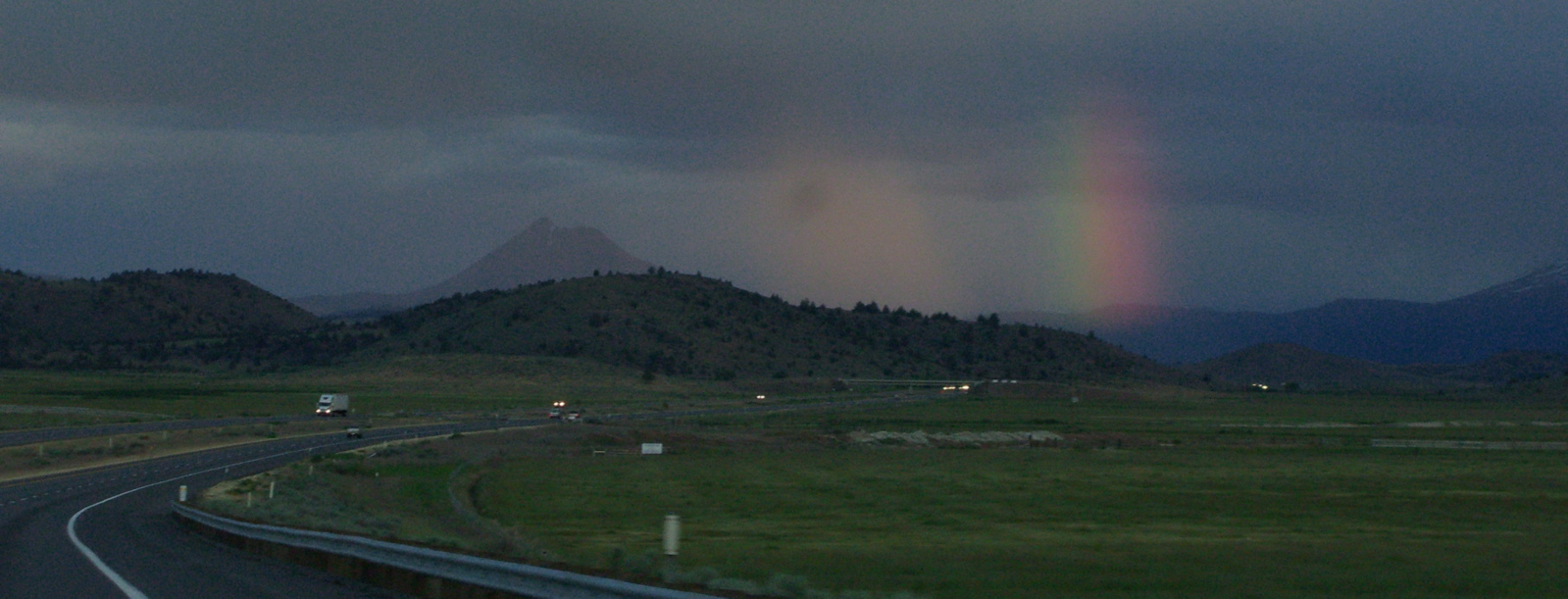
As I write, Thom is on an Amtrak train back home from Oregon for his holiday break. The train, the Coast Starlight, arrived in Eugene early yesterday evening from Seattle, already two and a half hours late. Amtrak’s “schedule” says the southbound Starlight should arrive in Emeryville, just down the track from Berkeley, at 8:10 in the morning. We’re several hours past that. Where’s the train? Still more than a hundred miles away, laboring down the valley somewhere north of Sacramento. Amtrak’s website says the train is now due in at 2:08 p.m., 5 hours and 58 minutes late. That’s a fantasy, since the run got to its last stop 6 hours and 46 minutes overdue.

I don’t mean to beat up on Amtrak (aka the quasi-private National Railroad Passenger Corporation). It’s not news that its long-distance trains can’t keep to a schedule. The Department of Transportation’s fiscal 2004 summary of Amtrak’s performance shows the Coast Starlight makes it to the end of the run when the schedule says it will 22.3 percent of the time. The figure for the Sunset Limited, which operates between Los Angeles and Orlando, is 4.3 percent (4.3 percent! Riding an on-time run on that train would be like winning the lottery). Only the shorter routes, like the Capitols in California, the Hiawathas (Chicago-Milwaukee) and the fast intercity runs on the East Coast have on-time rates higher than 70 percent.

Amtrak doesn’t really try to hide this. Its website cautions that if you’re booking a trip on the Coast Starlight or California Zephyr (Chicago-Emeryville) you might want to “plan for the possibility of delays due to freight traffic, track work “or other operating conditions.” This points to a widely cited Amtrak problem: that it’s treated as a second-class service by the companies that actually own the rails it uses. At the same time, though, Amtrak persists in describing rail travel as a wonder not to be missed. The timetable for the Coast Starlight urges you to “discover one of Amtrak’s most awe-inspiring travel experiences.” Of course, there’s more than one way you can read that.

Another well-known part of the Amtrak story is its perennial deep deficit. The Department of Transportation offers a statistic on each line’s loss per passenger. Generally (and predictably), the shorter, more heavily traveled routes — the ones mentioned above that tend to be on schedule sometimes — show the smallest per-passenger loss. The longer the trip, the bigger the loss and necessary public subsidy. Not that there’s anything wrong with transportation subsidies — we wouldn’t have roads, airports or seaports without them. But if you’re underwriting a $466 per passenger loss (the fiscal 2004 figure for the Sunset Limited; the number for the Coast Starlight is $152), you expect to get a little something in return; a meaningful estimate of when the trains arrive and depart would be a start.

I’ve always loved trains, or at least the idea of trains, and have taken a few long trips starting with my first visit to California from Illinois in 1973. The appeal to me of traveling by rail is pretty much the one Amtrak is trying to sell: You get to see the country close up instead of blasting over it in an aluminum tube. But it’s one thing to support a service that’s basically necessary, or if not necessary, more or less efficient; it’s another to pay for something that’s essentially broken and doesn’t appear to have any prospect for getting better the way things are being run now.

So something’s got to change: Do whatever needs to be done and pay whatever needs to be paid to improve service and make it reliable (fat chance; Amtrak has only grudging support from Congress). Or stop pretending you run the long-distance trains on a schedule: just tell passengers you’re pretty sure you can get them where they’re going eventually and to enjoy the scenery. Or let private operators take the lines and see if there’s any way they can both provide service and make them pay, or at least lose less. Or just let the trains go and shove everyone on to buses and planes.

Road Conditions

In the non-crucial news category, I note after my second California-Oregon-California trip of the last week that the Beaver State (motto: “She drives on her own wheels”) has a kick-ass highway conditions website, Tripcheck. Without returning to my past avocation as rapid web reviewer — hey, I got to help spend $10 million of someone else’s money doing that when the online world was young — I’ll simply say that the interactive maps and webcams and such on the Oregon site make California’s effort look lame (and totally textual).

On the Road Again

Yrekasnow_1

Thom and I drove back to Eugene yesterday, stopped by his dorm, went to dinner (a hippie-style burger enterprise called McMenamin’s), and since it was still fairly early (8:30), I started back south. The weather forecast said a big storm would move in overnight, so I wanted to get over the higher passes along Interstate 5 — especially Siskiyou Mountain Summit, just north of the Oregon-California border — before I stopped. I made it down to Yreka, about 210 miles or so from Eugene and 300 miles from Berkeley, by midnight, then found a motel room. When I got my 8 a.m. wakeup call, I casually looked outside, expecting to see rain. No — snow. I checked online and saw that a winter storm warning was calling for 8 to 12 inches of snow along the route I was traveling. I packed in a hurry, had a cup of Best Western coffee, heard from the desk clerk that chains were required on the highway north but not south, and drove out of the parking lot  at 8:26. This was the scene at Yreka’s traffic light (well, maybe there is more than one).

It snowed pretty heavily off and on for the first 30 miles or so. Then gradually, the snow turned to rain as I descended toward the Sacramento Valley. Drove out from under the storm and got back home just after 1. It finally started raining here in the last hour or so.

Windshield Photography

Shastahighway
An hour and a half ago, I finished an up-and-back drive to Eugene to pick up Thom for Thanksgiving festivities. On the way to Oregon yesterday, the sun set just as I got to Redding, 200 miles north of here along Interstate 5. Winding through the mountains, Mount Shasta occasionally appears, always bigger than you expect. as you speed up the highway. The mountain, with new snow from the first storms of the season, held the last light long after everything around it was dark.  I tried a through the windshield shot (hey — you have your cellphone, I have my camera) at a low shutter speed; it’s good enough for what it was.