Road Blog: Butte to Spearfish

i90montana.jpg

The charm and allure of travel: visiting new places, seeing new things, meeting new people, and perhaps choosing not to eat at a chain or “American cuisine” restaurant when you’re in unfamiliar territory (that assumes of course that you’re motel stop for the night is within hailing distance of that non-chain eatery, but I digress).

Today we hit the road in Butte about half past 8 in the morning and got off the road–the same Interstate 90 on which we’d been pounding our way eastward all day–at about half past 8 in the evening. Our major stop during that 12 hours: the Little Bighorn battlefield, a little more than 60 road miles east and south of Billings. I’d been there before; Eamon and Sakura never had been, but were game.

Much has changed on the battlefield since I visited with my dad in 1988. We were motivated by both having read Evan Connell’s “Son of the Morning Star,” his discursive, wandering appraisal of Custer and the Little Bighorn–both in myth and reality, as far as anyone can get to the “reality” of Yellow Hair’s climactic moment. (The interpretive efforts at the site have become a lot more sophisticated over the past couple of decades, but today I still came across a signboard of recent vintage that said something like, “no one can know Custer’s motives” in the decisions he made before his attack and during the battle itself. One hundred thirty-five years later, and the “what ifs” abound.)

I believe that around the year we visited, 1988 remember, some Lakota or other Native American activists had caused a stir by daring to stage a parallel event and place their own memorial marker on the battle’s anniversary days, June 25 and 26. That was probably not the first time, but it was a prelude to something serious and enduring. I saw several red granite markers on the field–red, one assumes, in contrast to the white marble markers placed in 1890 to mark the locations of where members of Custer’s command had fallen–that noted the location where Lakota and Cheyenne fighters died “defending their homeland and their way of life (see photos below, and click for larger versions). And in an apparent answer to the red stones, several new white headstones have appeared noting the deaths of several of Custer’s Arikara scouts; these stones note the scouts died defending their way of life. (American history: It’s too new to be over.) Beyond the stone wars, there are other signs, too: Native American guides conducting tourists through the battle sites and a beautiful memorial to the tribes present at the battle on both sides and the losses they suffered there (bottom photo).

Anyway, we spent a couple of hours driving and strolling sections of the battlefield. I made my companions wait while I tried to record sound and take pictures and visit just one more thing over there I’ll be right back! When I finally returned to the car, I apologized and said I hope it didn’t seem to be a repeat of a long ago (1988, too) trip to the Antietam battlefield with Eamon and my brother John. Eamon was going on 9 and didn’t quite grasp what was so interesting in the landscape that every 90 seconds or so we had to pull over and start pointing and jabbering. His moment came when we made it to a famous bridge on the battlefield. Eamon climbed up on one of the sides and walked across Antietam Creek while I held my breath–it was a long way down.

After Little Bighorn, we got back on I-90 for the drive southeast into Wyoming (the route I hoped to take, U.S. 212, is closed about 50 miles east of the battlefield because of a big slide). We whirred past Sheridan and Gillette, the distant Devil’s Tower, and within sight of the Black Hills. We decided to call it quits in Spearfish instead of going on to Deadwood: cheaper motel (I got my room for fifty dollars cash paid to a Hungarian tourist. True story), earlier night.

Tomorrow, we’re looking to make Omaha. What’s between here and there?

vincentcharles060111.jpg longroad060111.jpg scouts060111.jpg

warriors060111.jpg

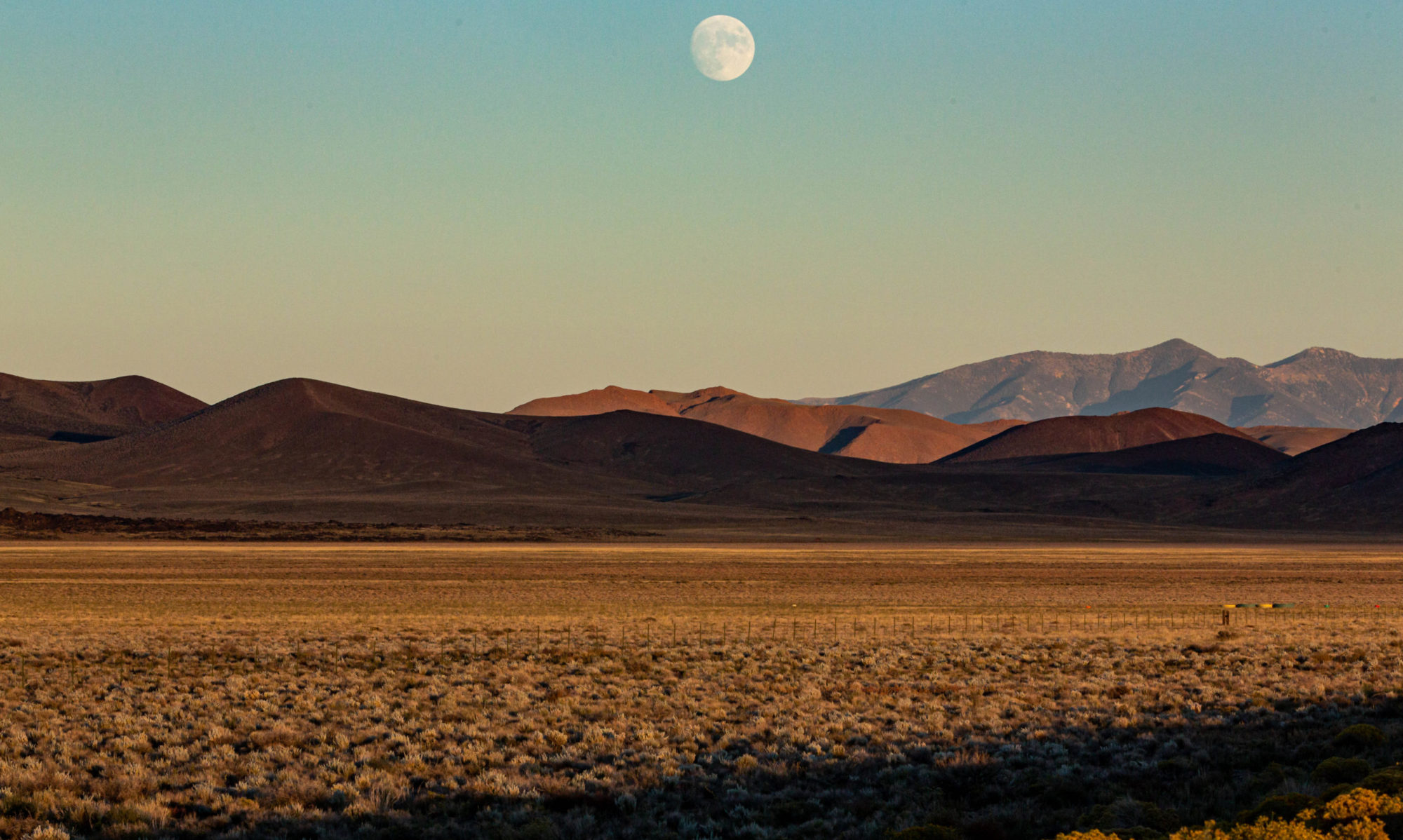
From top: On Interstate 90, looking back from Big Timber to the Absaroka Mountains. Three photo panel from left: a stone marking the death of a civilian member of Custer’s regiment on the Little Bighorn battlefield; a stone marking the death of a Sans Arc Sioux warrior at the southern end of the battlefield, and stones for three Arikara scouts who died fighting with Custer’s command. Bottom: Sculpture at Native American memorial at battlefield, on the northern slope of “Last Stand Hill.” Click for larger images.

Road Blog: Berkeley to Butte

packardpaha053111.jpg

This morning I took a 6:35 flight from Oakland to Seattle–the packed zoo-ish Southwest Airlines variety–then, in the company of my son Eamon and daughter-in-law Sakura, made a sharp right turn (if you’re looking at the map with north on top) and headed over the Cascades and well beyond on Interstate 90. We wound up in Butte at nightfall. I figure the day involved about 750 air miles and another 600 on the road. All set up with two hours of sleep, the result of a push to get some work done yesterday evening. That seems like a long time ago.

From out of the overload, one image that there’s no picture for: a pair of sandhill cranes winging across the Interstate, somewhere in that last hour on the road, an apparition in the long light of the last day of May, after crossing the Cascades, the Palouse, the first low passes of the Rockies, with rivers in every valley running full, the higher peaks all gleaming mid-winter white. Kind of hard for me to figure what season we’re in. The cranes have a bead on it, though.

Tomorrow? There’s talk of the Little Big Horn and Deadwood. We shall see.

Two much more prosaic snapshots go into the book for today, though. Above: On the Palouse, west of Spokane. Below: Serious advice from the state of Washington for a certain class of drivers and their friends.

notaurinal053111.jpg

Monument

monument052811.jpg

A friend writes:

“Dan, do you know what the little monument is on Shasta just above the first Tamalpias intersection. You are my Berkeley expert. Thanks.”

In fact, I knew nothing about a monument in the locale he named, which is in the Berkeley Hills about a five-minute walk from the Rose Garden. But the appeal to me as a “Berkeley expert” sent me in search of an answer.

Walking up from the bottom of Shasta Road, which begins at Tamalpais, I thought maybe I’d see a little plaque or statue along the way. Nothing. On the south side of the road, an old set of concrete stairs led upward to some ivy and brush, but not to a monument of any kind. A little further along, just past a house for sale with an asking price of one million, three hundred ninety thousand dollars (six bedrooms, five thousand square feet, canyon view), I spotted the creation pictured above. I didn’t investigate further–this must be the monument my friend was asking about.

There’s nothing written anywhere to indicate that it commemorates anything. But there was something–someone, actually–better: the woman who owns the property and put up the piece, which she calls “The Monument,” about ten years ago. I interrupted her while she was doing some gardening next to the site.

She did it just to do it, she said, “to create a window onto the garden” that she’s built in the canyon below. “It’s whatever you want it to be,” she added. She also cleared the path to The Monument’s base, and said the site attracts people who have left a variety of offerings, including, once, a large boulder. I asked her about the central piece, the framed cloverleaf. It’s ceramic and came from Ohmega Salvage in Berkeley.

Our conversation ranged further: to the history of her house (built in 1911) and its mis-matched banks of windows, the history of the canyon above her home (formerly owned by the quarry company that worked the site of the current La Loma Park until 1910; a couple of the houses on the uphill side of Shasta at this point are built around elements of an old quarry office and the operation’s stone crusher), the year-round creek at the bottom of her canyon (the South Branch of Codornices Creek, which flows down a five-foot culvert from the west edge of La Loma Park; at that point, smaller pipes carry water from nearby springs and storm runoff from nearby streets into the larger culvert).

Conclusion of the foregoing: That’s the story of the Shasta Road monument and its immediate environs as reported by a reliable local source.

Friday Night Ferry: Sunset

fridaynightferry052711.jpg

Last night’s variation on the theme: Sunset’s late enough now that the trip back to Oakland from San Francisco is a light show. Another variation: Kate met me at the radio station, and we walked over Potrero Hill, then up Third Street, past the ballpark, and up The Embarcadero to the boat.

Day Trip

road152511a.jpg

I took yesterday off. So did Kate. We did a mini-road trip to Mendocino County with The Dog. Though it’s late May, and we like to think we ought to be well into the dry season, it rained on the way north and then sporadically all day. Beautiful, though. And we were home by dark.

Above: That’s looking “southbound” (actual direction may be east) on Highway 128, along what I think of as the “true summit” area just north of the Sonoma-Mendocino county line. Heading north, you climb a grade of about two miles or so and are briefly rewarded with the impression that you’ve reached the top as you head down a little descent. Then the road pitches up sharply again before you cross a higher crest and start downhill toward Mountain House Road, which connects to Hopland. This Interesting aspect for me of driving roads in this area is that I’ve ridden them in all sorts of conditions, dry, wet, in the middle of the night. The constant: I’m usually pretty tired, because this stretch of Highway is located deep into some long brevet routes I’ve done–better than 100 miles into most, more than 200 miles into a couple of them.

Below: mini-slideshow of scenes from the highway.

Bees in Berkeley: A Theme

vanishingofthebees.jpgWell, maybe it’s only a two-day theme, but a neighbor who saw Tueday’s post about the bee hive-let in a local utility pole sent along an announcement to an event tonight at Berkeley’s Hillside Club: the showing of a documentary called “Vanishing of the Bees.”

The essentials:

The film will be shown tonight (May 25) at 7:30 at the club, located at 2286 Cedar Street (at Arch) in beautiful, bee-friendly North Berkeley. Admission is $8 (or $5 if you’re a club member. A discussion will follow the showing. Advance tickets available from brownpapertickets.com (800 838 3006), a service that charges a small service fee.

Description from movie site: “Bees are responsible for apples, broccoli, onions, cherries and a hundred other fruits and vegetables. Commercial honeybee operations pollinate crops that make up one out of every three bites of food on our tables. Vanishing of the Bees follows commercial beekeepers David Hackenberg and Dave Mendes as they strive to keep their bees healthy and fulfill pollination contracts across the U.S. The film explores the struggles they face as they plead their case on Capital [sic] Hill and across the world.”

The movie is narrated by Ellen Pageof “Juno” and “Inception” fame.

There you have it.

Berkeley Infrastructure Notes: Apiary Edition

beepole052211.jpg beepole052211a.jpg

A sharp-eyed dog-walker of my acquaintance (I’m married to her) spotted something a little unusual near the bottom of a utility pole a couple blocks from our place. Bees were flying in and out of a cavity about three and a half feet above the sidewalk. A honeycomb was visible. They had a full-fledged if rather small hive going, right out in plain sight. My acquaintance took my out to the scene so I could document the scene. (Click the images for larger views of the pictures.)

An unaddressed question: Does this little insect colony pose a danger? The pictures show evidence of boring, probably by powder-post beetles. Is the pole going to snap off? Except for this one area, it appears pretty solid. (The question brings up some interesting issues, such as who’s responsible for fixing or replacing a damaged pole. A friend who works for the city and is generally pretty well informed tells me that the last utility that attached something to the pole generally bears responsibility.

)beepole052211b.jpg

Shakespearean II

A quote ripped off from a well-done blog called The Obit Patrol: “The poetry of history lies in the quasi-miraculous fact that once, on this earth, on this familiar spot of ground, walked men and women, as actual as we are today, thinking their own thoughts, swayed by their own passions, but now all gone, one generation vanishing after another, gone as utterly as we ourselves shall be gone, like ghosts at cock-crow.” That’s from a 1949 essay by the British historian George Macaulay Trevelyan.

One night at work last week, I had a conversation with a colleague that started on public radio fund-raising, traversed the difficulty of asking strangers for money, and led to an exchange about homeless people on San Francisco streets. I said that it had crossed my mind that I’d have a hard time if I were forced to panhandle because I thought I’d find it hard to ask passers-by for help.

“Yeah, I hear people say, ‘Hey, get a job,’ ” my colleague said. “They don’t know what they’re talking about. It’s hard out there.” He went on to say that an acquaintance of his, a man who had once been the director of the San Francisco Shakespeare Festival, had wound up on the streets and had died there.

I knew who he was talking about. I’d run into the guy myself, about two and a half years ago, lying on the street near a supermarket. I bought him a sandwich. We talked briefly, and he had come out with some of his personal history. He even recited a couple of lines of Shakespeare. I had not heard that he had died.

Later, I went looking for an obituary, and came across The Obit Patrol. The site featured a story by a critic in St. Petersburg, Florida–the hometown of the man I’d met. It can’t help but be heart-rending: It’s the story of Charles McCue, a promising, brilliant, talented, handsome, charming young man who ends up dying on a sidewalk at age 51.

After my first encounter with Charles, I ran into him once more, about a week after that first meeting. It was a Friday night after work. I was walking down 16th Street toward BART in a drizzling rain and had reached the tough blocks between South Van Ness and Mission. He approached me and asked for change. He didn’t recognize me, but I mentioned that we’d met before and that he’d told me about his theater work. Maybe he remembered, maybe he didn’t. He was trying to hustle up enough cash to buy a can of ready-to-eat soup from a little market across the street. He said it was his birthday. I think I gave him twenty bucks and asked him where he’d go to get out of the weather. He had a place he could stay dry, he said. He said maybe it was time he got off the streets with another wet season coming on. He had a sister in Florida who had offered him a place, but only if he stopped drinking. I had a sound recorder with me and thought about breaking it out while we talked. But it was raining, and I didn’t want to go through the whole song and dance. Besides, I wanted to get to my train. “Florida doesn’t sound bad,” I said. “You should go to Florida.”

Berkeley Humor, or The Dead-End Kids

nooutlet051411.jpg

Delaware and Grant streets. Yonder is Ohlone Park, including the section we used to call the Experiment Dog Park–you know, for experimental dogs. In foreground is a piece of neighborhood art that wouldn’t have been possible had the sign said “Dead End.”

Midnight Rain

Up late tonight–not unusual–reading up on what’s supposed to happen with the first stage of the Tour of California in the morning. The race is starting at Lake Tahoe to give it some true alpine flavor. You know, like that big race they have in France every summer (and also, the big races in Italy, Spain, and elsewhere, not to leave anyone out). No one could have guessed when the route was chosen last year that a winter-ish storm would roll into the state this weekend. But it did. I’m listening to rain down here at sea level and looking at weather reports of snow up along Interstate 80 clear over Donner Summit to Lake Tahoe. So now, the race organizers say they’ll wait until 9 a.m. to decide whether the race will proceed on a mountainous circuit around the lake or be abbreviated to avoid sending 168 racers sliding around a potentially snowy, icy course. We’ll see.