|

|
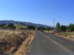
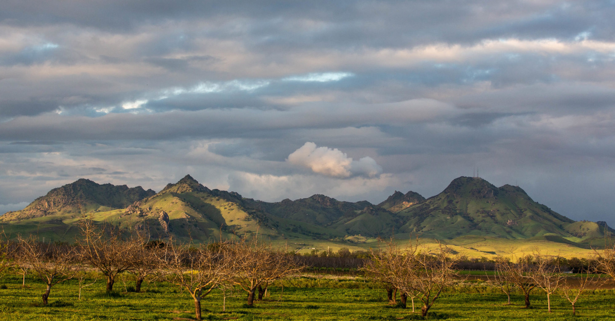
One of my favorite landscapes: Pleasants Valley Road, running north from the Fairfield/Vacaville area, just north of Interstate 80, up to pretty close to nowhere on state Highway 128. This is one of the places I think of as a real California place: hills and low mountains folded up, the winter’s green grass turned golden in the heat of the early summer, and just three or four miles to the east, the table-flat margin of the Sacramento Valley.
Kate and I were going up to some friends in Fair Oaks, east of Sacramento, on Friday. I took the afternoon and early evening to ride from Berkeley to Davis, about 100 miles the way I go. In the summer, you can count on much warmer weather as you travel from the coast to the interior here. Define “much warmer.” It might be in the low 60s at the beach, low 70s around the shore of San Francisco Bay, and in the low 90s to low 100s as you move from the valleys east of the coastal mountains into the Central Valley. In Berkeley, the transition happens as you cross the hills headed east; there’s a short stretch on one of the roads up there where in the space of 100 yards or so the marine influence vanishes, the temperature rises, the humidity drops, and you’re in the interior.
I could tell Friday’s ride would be warm. It was pushing 80 in Berkeley when I left at 12:30 p.m. I couldn’t have told you how hot it was later, just that it was. Later I saw that the official temperature was in the mid to upper 90s along the route I took; my bike computer’s thermometer, which gets the sun-affected, on-the-asphalt reading, recorded a high of 115.
On my route, you hit Pleasants Valley Road after 65 miles or so. It marks the only place along the way where you have an extended feeling of having left the sprawl truly behind: 13 rolling, twisting miles, orchards giving way to ranches, deluxe estates, and then ranches with orchards. Beautiful even in the heat, though I was less inclined than usual to just drink in the scene.
Technorati Tags: berkeley, california, cycling, travel
