We drove up to Mendocino over the weekend using the easy route from the East Bay: U.S. 101 through Marin and Sonoma counties to Highway 128 in Cloverdale, out 128 to the coast and Highway 1, then up 1.
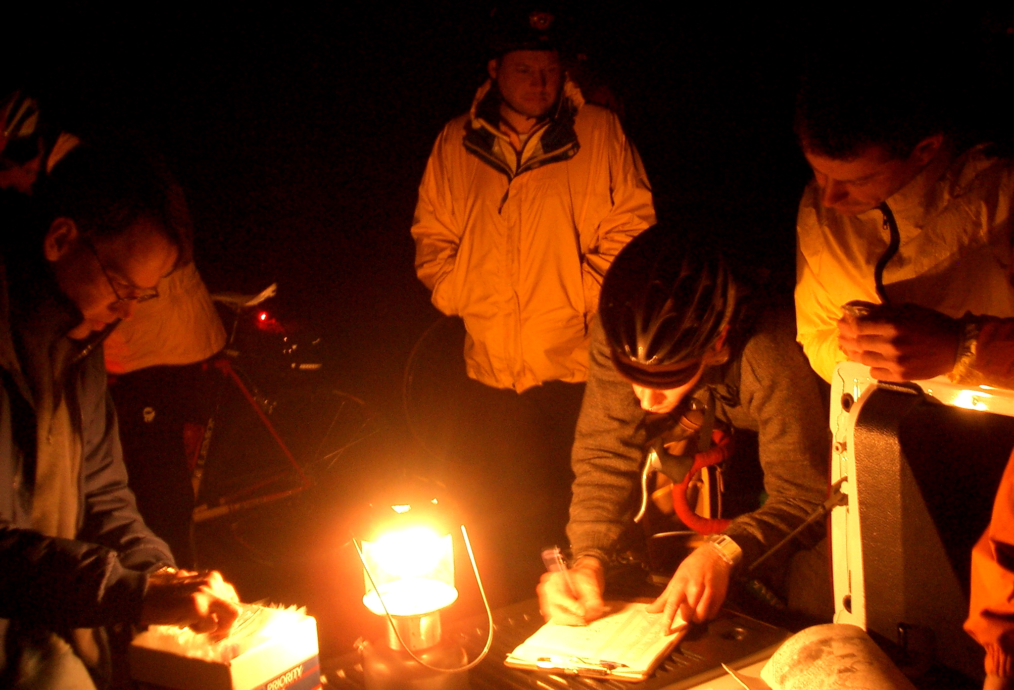
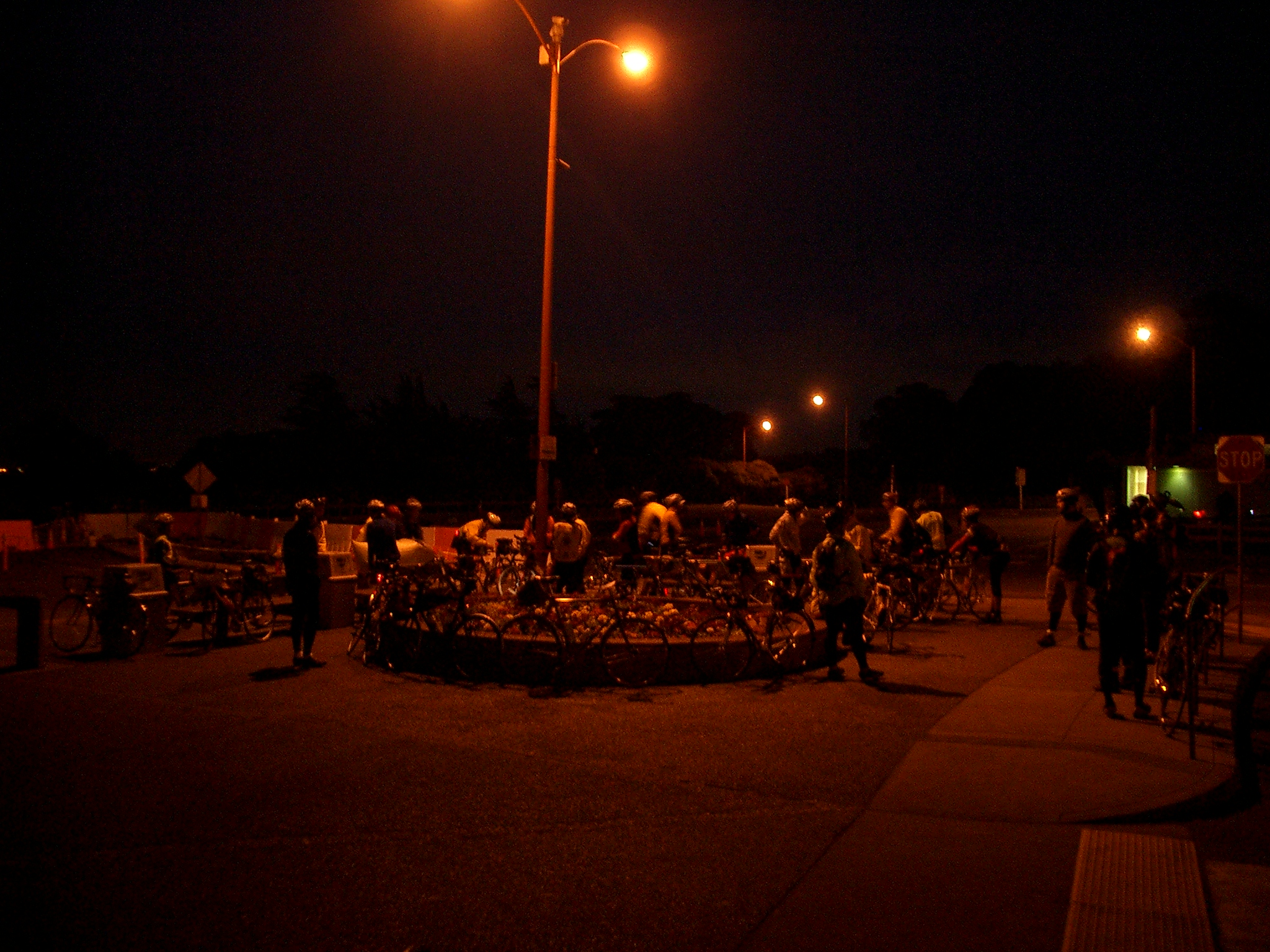
We weren’t in a big hurry, so we decided to stop in Cloverdale, the last town in Sonoma before you reach the Mendocino County line. The last several times I’ve been up there, I’ve either been on a bicycle or have been supporting someone else’s ride. In 2007, I remember going through Cloverdale twice: late at night near the northern end of a 400-kilometer brevet, shepherding a semi-lost and semi-lightless rider, then again passing through both ways on a rainy 600-kilometer brevet (I got doused on the way north; by the time I came back the next morning, the weather had turned and it was sunny and warm and a big tailwind was building–I smile just thinking of it).
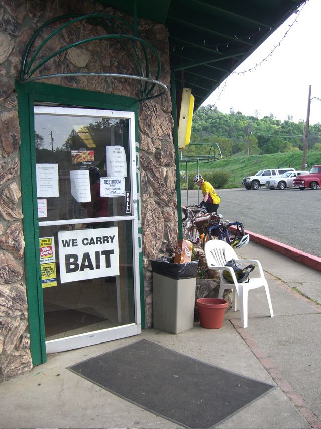
All by way of saying that when we spotted several bikes at the gas station/convenience mart at the south end of town, it took me about five seconds to figure out I was looking at people on a brevet (the combination of the gear on the bikes and some of the jerseys–a California Triple Crown and a San Francisco Randonneurs–tipped me off). I asked and found that the riders were out on a 400-kilometer brevet from the Golden Gate Bridge up to Hopland. From where I met them they had something like 30 kilometers to the turnaround point and several hours of beautiful March weather to enjoy before the night leg back to San Francisco. On the way out of town and all the way up the long climb on 128 to Mountain House Road–the beautiful (and roughly paved, last time I was there) back-country link to Hopland–we passed riders plugging away in ones and twos.
Did I wish I was out there myself? No–not in my current non-riding shape. But I did have an audio recorder with me and considered for a minute whether I might wait at the top of the grade to talk to the riders coming past. Didn’t do it, though. I did give a wide berth and a wave to all the riders we saw. Bonne route, boys!
***
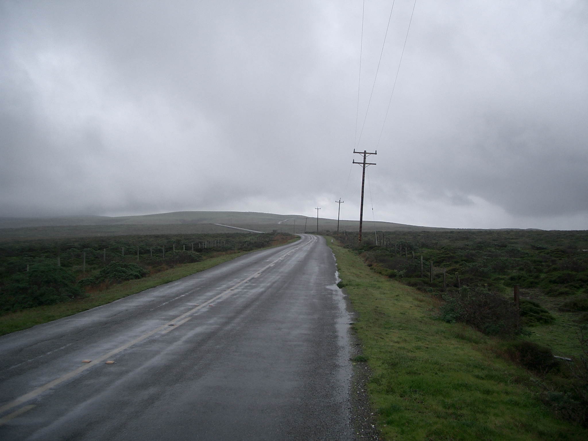
Coming back from Mendocino, we made the counter-intuitive move of starting the southward trip by driving north along the coast out of Fort Bragg on Highway 1, then crossing the Coast Range to Leggett, where we could pick up 101 south.
I’ve never ridden this stretch of road, but have driven it three or four times. In my memory, the stretch from the coast had organized itself into a long, straightish section from Fort Bragg to point where you turn east, then a long climb up the mountains and equally long descent to Leggett, an old, broke-looking logging town that boasts a famous massive drive-through redwood tree. What I saw yesterday was a little different from what I remembered. The section north of Fort Bragg was neither as straight nor as level as I remembered. Heading up the highway, you turn inland quite abruptly; as you leave the coast, what look like trackless mountains stretch away to the north, falling straight into the sea. The climb and descent to Leggett turns out to be two ascents and two downhills with a bit of mostly level road between them. Driving it, I was reminded of friends who had done a 24-hour Easter weekend ride back in 2004, starting in Leggett and ending in San Francisco. What a way to start out.
We had no traffic behind us all the way across the climbs, so I didn’t have to push my speed or pull over. When we had descended nearly to Leggett and it had started to rain, we spotted a single cyclist starting up the grade. I slowed to encourage him, and he stopped to talk. I wished I’d gotten his name: He was loaded for a tour down to San Francisco and was figuring on doing 60 miles a day to get there. He looked like he was prepared for weather, and I think he’ll see some this week with a series of storms expected on the coast.
Did I wish I was out there? Kind of, though my last long ride in the rain isn’t filled with fond memories. Instead of pondering that, we drove home. Total mileage for the weekend, about 29 hours on the road, was 380 miles. I did reflect briefly that during that 600-kilometer ride in 2007, I rode 375 miles in about 36 hours — including six hours off the road to eat and sleep in Fort Bragg. I’ll probably remember that weekend, at least the road part, longer than I remember the driving I did this time around.