Stay-at-Home Blogger

Scout111606

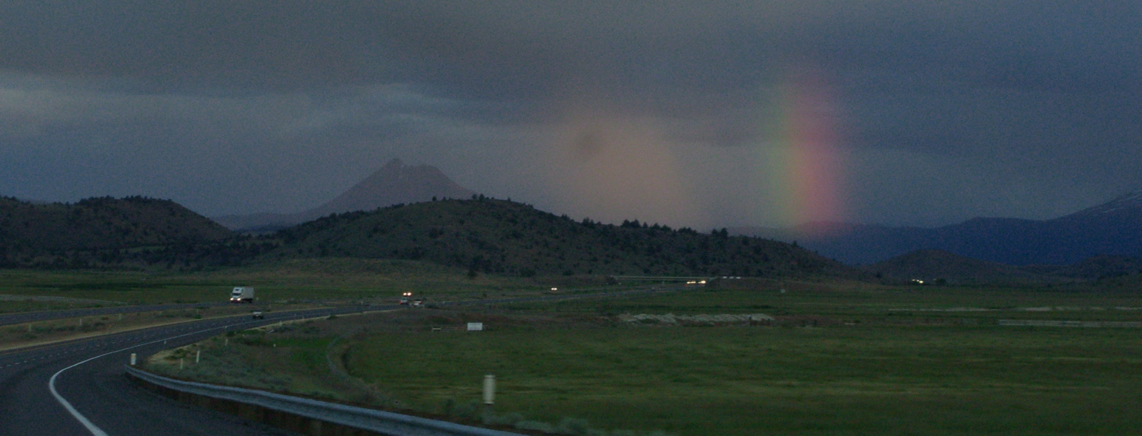
Monday night. Kate drove up to Eugene today. She’s at Thom’s house tonight. Scout and I are staying home. Scout to be Scout–a 10-hour drive is not a dog’s best friend, and Thom’s lease says no pets. Me, to take care of some work and shop and cook and otherwise get ready for Thanksgiving. I envied Kate the trip up to Oregon; it’s a long drive, but I like the way the route unrolls. But she’s off all week and it made more sense for her to go. I did the next best thing to driving up there; Before she left, I sat down and drew a map of the route and the key attractions: exits she needed to take, the locations of key towns, rest stops, features like Starbucks, In ‘n’ Out Burger (America’s favorite evangelical grilled-meat joint), the general characteristics of the road like the winding section once you get into the mountains north of Redding and the five passes you cross once you’re in Oregon. Drawing the map made me realize just how many times I’ve been over that road; I can picture so much of it, including beautiful Hilt, the very last town on your way north out of California.

Tonight: A spinning class at the gym. Dinner (some pesto spaghetti left over from the other night). A long walk with The Dog. A little Monday Night Football. An episode of “The Wire,” which, if I were to write about such things, I’d praise. And now this, and then bed.

(The picture? From late last week. An odd, persistent overcast that broke just enough at sunset to cast a striking light on the bay while I was out with The Dog (on right) at Chavez Park. That’s Alcatraz in the left distance, Thus concludes this November 20, 2006, slice of life.)

North on 5

One last trip up to Eugene on Interstate 5. Someone asked me this morning how many times I’ve made the drive, which is about 1,030 miles round trip. Including today: Seven. At Thanksgiving, I did the trip twice in seven days, driving north on Tuesday, south on Wednesday, north and 40 percent of the way south on Sunday, and back home on Monday.

But the trip might not be as long as it sounds. I mentioned Interstate 5. It’s not an all-out raceway as it is from the Bay Area down to Los Angeles, but it moves right along going up the Sacramento Valley and doesn’t force you to slow down (too much) once you get into the mountains in the north. That’s all by way of saying that 500 miles and change might be a seven-and-a-half or eight-hour drive if you keep your stops short.

I’ll let you do the arithmetic. I’m going to bed.

Technorati Tags: , , , ,

Two from the Road

Weedyreka

Drove back from Eugene last night and this morning. Started at 5 p.m. or so, stopped at the cheap gas station (a 76 station just south of town that is always at least a nickel or a dime a gallon cheaper than what you find near the university), then got on Interstate 5 southbound. The Sunday of Memorial Day weekend: I recommend it for your long highway trips. Very few people were on the road, and by the time we started the climb up toward the last Oregon summit on I-5, in the last hour before the sun set, it was like driving in the middle of the night.

Most of the way through Oregon we drove through sunlit showers, and for a while saw a rainbow around every bend in the road. The shot above is from the stretch between Yreka and Weed, in far northern California: Rain refracted in the last light of the day, a semi-rainbow. The peak near the center is Black Butte, a small volcanic peak just to the west of Mount Shasta. The shot below: from the climb up the northern side of Canyon Creek Summit, a little more than halfway between Eugene and the California line.

I5Rainbow

On the Road Again

Yrekasnow_1

Thom and I drove back to Eugene yesterday, stopped by his dorm, went to dinner (a hippie-style burger enterprise called McMenamin’s), and since it was still fairly early (8:30), I started back south. The weather forecast said a big storm would move in overnight, so I wanted to get over the higher passes along Interstate 5 — especially Siskiyou Mountain Summit, just north of the Oregon-California border — before I stopped. I made it down to Yreka, about 210 miles or so from Eugene and 300 miles from Berkeley, by midnight, then found a motel room. When I got my 8 a.m. wakeup call, I casually looked outside, expecting to see rain. No — snow. I checked online and saw that a winter storm warning was calling for 8 to 12 inches of snow along the route I was traveling. I packed in a hurry, had a cup of Best Western coffee, heard from the desk clerk that chains were required on the highway north but not south, and drove out of the parking lot  at 8:26. This was the scene at Yreka’s traffic light (well, maybe there is more than one).

It snowed pretty heavily off and on for the first 30 miles or so. Then gradually, the snow turned to rain as I descended toward the Sacramento Valley. Drove out from under the storm and got back home just after 1. It finally started raining here in the last hour or so.

Windshield Photography

Shastahighway
An hour and a half ago, I finished an up-and-back drive to Eugene to pick up Thom for Thanksgiving festivities. On the way to Oregon yesterday, the sun set just as I got to Redding, 200 miles north of here along Interstate 5. Winding through the mountains, Mount Shasta occasionally appears, always bigger than you expect. as you speed up the highway. The mountain, with new snow from the first storms of the season, held the last light long after everything around it was dark.  I tried a through the windshield shot (hey — you have your cellphone, I have my camera) at a low shutter speed; it’s good enough for what it was.

Long, Winding, Four-Lane Road

I5

Just an odd online find: A page that includes a complete sequential listing, with the appropriate signs, for every exit, north- and southbound, off Interstate 5 through Oregon. Having driven the road just a couple of weeks ago, it’s fun to see the trip reproduced. The guy who put it together, who identifies himself as Mike Wiley of San Diego, has created a kind of alternate road atlas for the Beaver State’s main interstate.

And from a more geeky perspective, check out the source HTML for the page (I was curious, because none of the beautiful green signs on the page, including the ones for the town of Drain that I wanted to rip off to use for this post, are downloadable images). The guy coded all the highway signage in HTML (except for the highway number shields — those are actually .gifs) instead of creating individual images in Photoshop. Makes sense, I guess, because the hundreds of signs on the page might have added up to a monster download compared to the HTML.