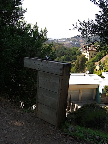
Berkeley Cycling: Going to a Dangerous Place

[Update: ‘A Dangerous Place, Part II’]

The week before last, a cyclist was killed descending South Park Drive in the Berkeley Hills. News reports say the rider, Kim Flint, crossed the center line and hit the side of an uphill-bound vehicle. He was airlifted to a hospital in Walnut Creek, where he died.

Here’s the twist to the tragedy, as reported in a subsequent story carried on The Bay Citizen and in the Bay Area pages of The New York Times: Flint may have been attempting to set a speed record on the descent to maintain his first-place ranking on a site called Strava.com. Strava, like other sites, allows riders to upload data about their cycling performance and create publicly viewable online training and ride logs. Unlike other sites (that I know of), it keeps records of times for defined road segments. Until shortly after Flint’s death, there was a “King of the Mountain” ranking listed for South Park downhills.

What I find interesting about the Bay Citizen/Times article is the series of leaps it makes to more or less attribute Flint’s death to his activity on Strava. I say “interesting” because it’s from the same reporter who put together a complete, well-reasoned, and sensitive piece for the local news blog Berkeleyside then produced this second story that suggests Strava was an “obsession” for Flint, who recorded the fastest Strava time down South Park in early June. “But on June 15,” the second story says, “another rider bested his time by four seconds, prompting Mr. Flint to ride that stretch again four days later.” There’s no support in the story–statements from Flint or from his fellow riders–for the notion that Flint was “obsessed” with Strava or that his fatal ride on June 19 was driven by a hunger to reclaim his Strava record. In fact, based on the evidence available on Strava, there’s little to suggest that Flint or anyone else is particularly obsessed with the South Park descent. The site lists 71 total descents of the segment since the fall of 2007, with 34 of those this year. Flint is listed twice–once last August, and once during his “record” run in early June–before the ride on which he crashed. Just one quote from another cyclist about what sort of rider Flint was, how he handled himself on the road or on this hill, would be persuasive in helping us understand his “obsession.” The second story offers nothing; the first story includes a long quote from a friend and fellow rider who emphasized Flint was not a reckless type.

But the real point here isn’t whether someone’s sensationalizing a story by suggesting that a speed-crazed cyclist may have been driven to his death by a website that encourages dangerous behavior. No, it’s this: Cycling can be dangerous, and never is the danger more present (though perhaps not obvious) than during a steep descent. Strava or no Strava, the ride down South Park Drive demands skill and attention. Many riders, including me, have hit 50 mph on their way down. When I read that someone had been killed up there, I could imagine two or three places that could happen, including the spot where the accident occurred. All it takes is carrying a little bit too much speed into a corner, finding something in the road you weren’t expecting–some gravel or an animal, say–or a moment’s distraction, and you can be in trouble fast.

That having been said, the focus on Strava is misguided. The virtual competition encouraged by the site is simply another version of what happens whenever groups of fast, fit, competitive cyclists get together. They’ll often ride aggressively–on the climbs, on the flats, in sprints, and yes, on descents, too. Why? Bottom line, it’s challenging and fun. I remember seeing a couple of longboard skateboarders on Grizzly Peak, getting ready to go down Claremont. I followed on my bike to see how fast they’d go. I can’t really tell you, though, because my top speed, in the high 40s, wasn’t fast enough to keep them in sight. I did see the guys at the bottom. They were getting a ride back to the top to do it again. They were were doing something that was very hazardous and required a high degree of courage and ability, and they were having a blast.

None of which is to discount the tragedy of Mr. Flint’s death. Most of us who have ridden the roads hereabouts take an incident like this to heart. We can all too easily remember at least once when, whether through our own error or another’s, we’ve narrowly avoided serious injury or worse. Point is, it’s really the nature of the activity itself and the sum of all our habits, skills, and even emotions that lead us to this dangerous place, not the inducements of a Death Race website. That being the case, it’s important to ride with some discipline–this coming from someone who got stopped by the UC police for rolling through a stoplight on Friday night–and with a commitment to being safe.
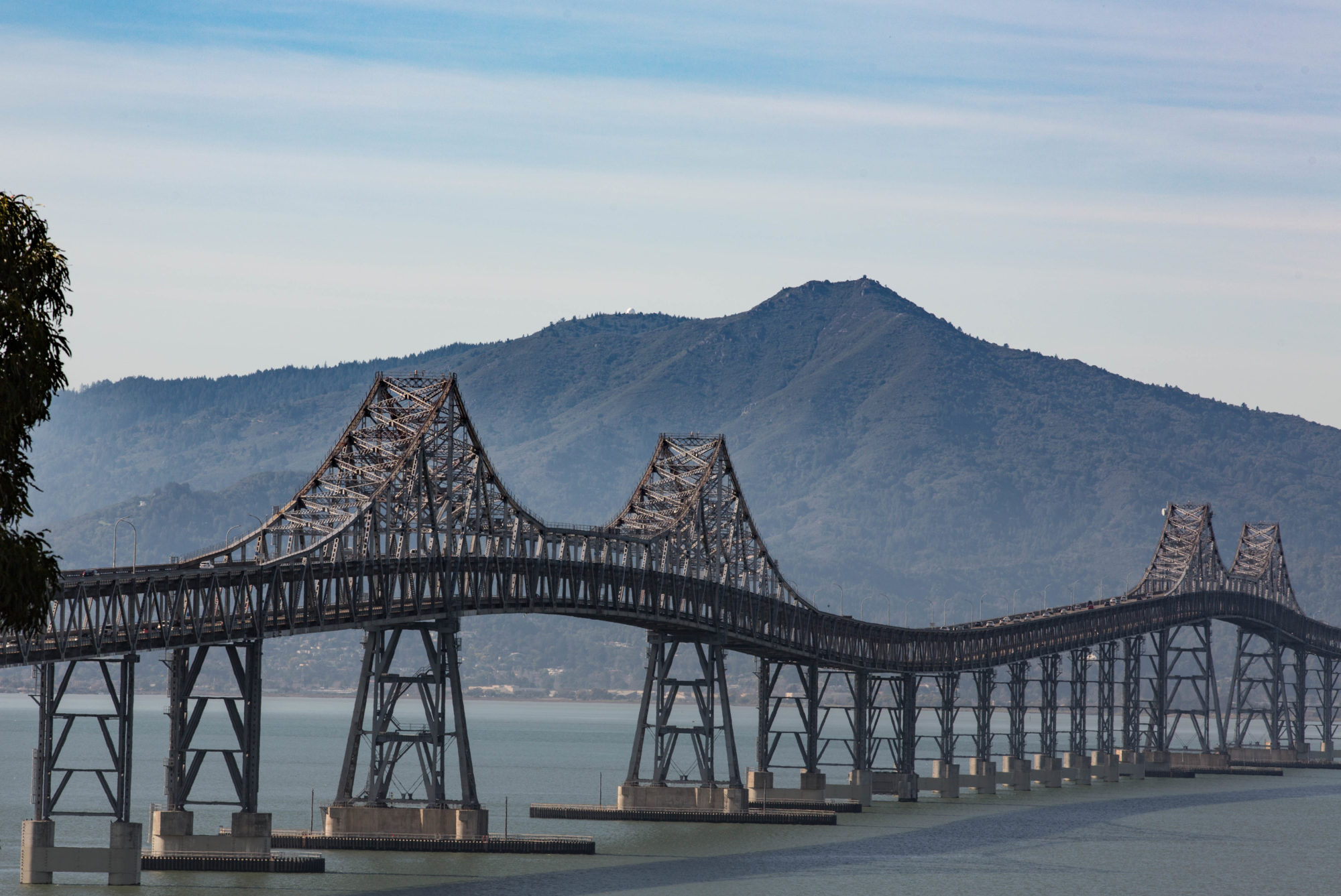
A Death in the Backlands

At some point in life, it occurs to you that personal preferences aside, you’re not really immortal. People close to you die. You might have a close call or two yourself. Sometimes you catch yourself thinking about dying, even on a sunny, beautiful day when, for you, death seems far, far away. On a couple of occasions, I’ve even given voice to this feeling out loud. Getting ready for a long bike ride in chancy weather that made me nervous, I remember saying to a couple other riders, “If something happens to me out there and I don’t make it back, I’ll have gone out doing something I love.”

I’m thinking about that because a Berkeley friend sent me a note yesterday about a widely known and loved Northern California cyclist died of an apparent heart attack last weekend during a ride up the northern slopes of Mount Hamilton.The rider was Tom Milton, and he happened to be just my age, 56; I did not happen to know him. He was in the middle of a 200-mile event called the Devil Mountain Double, one of the toughest rides in these parts. It’s obvious from accounts of riders who saw him on his bike that day or during any one of his previous rides, that he loved cycling.

I know the road he was riding. It combines the pain of a long, steep grind with exhilarating views over the ridges, canyons and valleys of a lonely backland. Condors would look at home there, and slow as the climb can be, the road gains altitude so quickly you have a sense of soaring. You can read about Tom here–an eyewitness account–or here–a series of tributes from fellow long-distance riders.

Is there a take-away? We’ll all have our own. Mine might be to embrace a little more readily the large and small joys that life affords us without worrying so much about what’s not perfect in a situation. I also agree with one of the commenters at those links, though, who suggests we all ought to know CPR.

Long-Distance Cycling: Behind-the-Windshield View

We drove up to Mendocino over the weekend using the easy route from the East Bay: U.S. 101 through Marin and Sonoma counties to Highway 128 in Cloverdale, out 128 to the coast and Highway 1, then up 1.

We weren’t in a big hurry, so we decided to stop in Cloverdale, the last town in Sonoma before you reach the Mendocino County line. The last several times I’ve been up there, I’ve either been on a bicycle or have been supporting someone else’s ride. In 2007, I remember going through Cloverdale twice: late at night near the northern end of a 400-kilometer brevet, shepherding a semi-lost and semi-lightless rider, then again passing through both ways on a rainy 600-kilometer brevet (I got doused on the way north; by the time I came back the next morning, the weather had turned and it was sunny and warm and a big tailwind was building–I smile just thinking of it).

All by way of saying that when we spotted several bikes at the gas station/convenience mart at the south end of town, it took me about five seconds to figure out I was looking at people on a brevet (the combination of the gear on the bikes and some of the jerseys–a California Triple Crown and a San Francisco Randonneurs–tipped me off). I asked and found that the riders were about nine hours out on a 400-kilometer brevet from the Golden Gate Bridge up to Hopland. From where I met them they had something like 30 kilometers to the turnaround point and several hours of beautiful March weather to enjoy before the night leg back to San Francisco. On the way out of town and all the way up the long climb on 128 to Mountain House Road–the beautiful (and roughly paved, last time I was there) back-country link to Hopland–we passed riders plugging away in ones and twos.

Did I wish I was out there myself? No–not in my current non-riding shape. But I did have an audio recorder with me and considered for a minute whether I might wait at the top of the grade to talk to the riders coming past. Didn’t do it, though. I did give a wide berth and a wave to all the riders we saw. Bonne route, boys!

***

Coming back from Mendocino, we made the counter-intuitive move of starting the southward trip by driving north along the coast out of Fort Bragg on Highway 1, then crossing the Coast Range to Leggett, where we could pick up 101 south.

I’ve never ridden this stretch of road, but have driven it three or four times. In my memory, the stretch from the coast had organized itself into a long, straightish section from Fort Bragg to point where you turn east, then a long climb up the mountains and equally long descent to Leggett, an old, broke-looking logging town that boasts a famous massive drive-through redwood tree. What I saw yesterday was a little different from what I remembered. The section north of Fort Bragg was neither as straight nor as level as I remembered. Heading up the highway, you turn inland quite abruptly; as you leave the coast, what look like trackless mountains stretch away to the north, falling straight into the sea. The climb and descent to Leggett turns out to be two ascents and two downhills with a bit of mostly level road between them. Driving it, I was reminded of friends who had done a 24-hour Easter weekend ride back in 2004, starting in Leggett and ending in San Francisco. What a way to start out.

We had no traffic behind us all the way across the climbs, so I didn’t have to push my speed or pull over. When we had descended nearly to Leggett and it had started to rain, we spotted a single cyclist starting up the grade. I slowed to encourage him, and he stopped to talk. I wished I’d gotten his name: He was loaded for a tour down to San Francisco and was figuring on doing 60 miles a day to get there. He looked like he was prepared for weather, and I think he’ll see some this week with a series of storms expected on the coast.

Did I wish I was out there? Kind of, though my last long ride in the rain isn’t filled with fond memories. Instead of pondering that, we drove home. Total mileage for the weekend, about 29 hours on the road, was 380 miles. I did reflect briefly that during that 600-kilometer ride in 2007, I rode 375 miles in about 36 hours — including six hours off the road to eat and sleep in Fort Bragg. I’ll probably remember that weekend, at least the road part, longer than I remember the driving I did this time around.

The Reward

bayview102509.jpg

A basic Berkeley bike ride: Start at my house, 120 feet above sea level. Take your favorite route up through the neighborhoods towards Spruce Street, one of the main roads into the hills (I ride up the north, purely residential end of Shattuck Avenue to Indian Rock, then to Santa Barbara, then the short, sharp climb up Northampton to Spruce). At the top of Spruce, roughly 2.2 meandering miles from home and at an elevation of about 800 feet, turn right on Grizzly Peak. The direction you’re conscious of going is up; you may not perceive until looking at a map later that you’ve been riding mostly north on Spruce and that as you climb the ridge on Grizzly Peak you’ve doubled back south. After the first quarter-mile on Grizzly Peak, you get to a long stretch where the climb is pretty gentle. You’re around 960 feet or so when cross Marin Avenue and just under 1100 as you approach the Shasta Gate into Tilden Park. Then you plunge down past the intersection with Shasta Road and climb again to the city limits and cross Centennial Drive where it tops out on its ascent from the UC-Berkeley campus, elevation about 1250 and about 5 miles from my front door. The road then climbs more twistily, steadily and steeply–though far from punishingly steep–for another 1.7 miles or so to the top of the road–a shade under 1700 feet.

So if you’re keeping track of all that, that’s a climb of something like 1550 vertical feet in 6.7 miles right outside the front door. Again, the way it unfolds with its long, gradual stretches is not a killer. But it’s not a bad workout, either.

When I first went up Grizzly Peak, in 1980, I think, I was stunned by the views. The road clings to the western slope of a very steep ridge, so you have a pretty much wide open view across Berkeley to the Bay and beyond. About a quarter-mile or so before the top of the road, where the pops over a last little rise before leveling out and pitching down toward toward the Claremont/Fish Ranch saddle, there’s a nice turnout with a stone wall. I used to stop there every time I went up the road to take in the view. I thought of it as my reward for working to get there. It was also a good place to take a breather. Then at some point I became more focused on getting up across the top as quickly as I could, and I didn’t stop there much anymore.

Today I did. For a minute. To see the view. To drink in the warmth of this amazing October day. To take a couple of pictures. It was a good reward.

Oasis

Tunnel Road: The fountain.

Not a great picture, but this is a drinking fountain up along Skyline Drive, just above Tunnel Road, in the Oakland Hills. Here’s what’s unique about the fountain: It’s set up on the shoulder of the road in a place that seems meant to be of maximum use for cyclists. The road is one of the most popular climbs in the East Bay Hills, an almost leisurely ascent that invites you to spin your way up and then gets a little more serious about halfway up the roughly four-mile climb. I’d guess that hundreds of cyclists ride past this fountain on their way up every day; a few locals may stroll here, too, but the road and shoulders are narrow and you certainly don’t see many of them as you pedal through here.  

I went up here about 2 p.m. or so. A nearby weather station recorded the temperature as 95 degrees. I’ve ridden so little of late that even a relatively relaxed climb like this one has become an index of my lack of fitness. Didn’t hurt too much, though, and the reward came on the fun descent from the top of Grizzly Peak Boulevard back into Berkeley.

Anyway, the fountain: I passed it, then remembered a nice little New York Times feature from a month or so back that talked about public drinking fountains and what they represent. I turned around to use this one, and noticed many sets of bike-tire tracks in the dirt at its base. An oasis on a hot day.

Landing in Denver

Landing080709
I once did a bike ride that started northwest of Denver and headed east into the high Plains. We started at 3 a.m. An hour or so into the ride, we crossed under the flight path into Denver's airport, in the middle of the farms and ranches that stretch from the city pretty much clear across to Kansas City. I rode along in the dark, watching the progression of the planes approaching from the north, each with landing lights on, each seeming to move so slowly they appeared suspended in the predawn sky, each silent until they were almost overhead, but even then the roar of the jet engines seemed muffled by the dark and the prairie.

You get another version of the same experience landing here: a long approach with the farms and ranches interrupted by just a few new developments flung out from the city. We approached from the north, the afternoon sun shadowing us on the fields below, right up to the edge of the runway.

Journal of Self-Promotion

Contributing to my lack of rest this week was a small radio story I did on locals watching the Tour de France. Through Yelp!, someone at KQED steered me to a little place in Richmond called Catahoula Coffee Company. Originally part of the draw was the news that the cafe opened at 1 a.m. so that people could come watch the Tour. The truth was that it actually opens at 7 — with the Tour playing in mid-stage. Earlier this week I went up there and the owner gave me the run of the place for one morning and part of another. Three minutes of thrilling (and I hope entertaining) audio ensued and aired on KQED’s California Report Magazine this afternoon. Here’s the link to the story page (where the audio will eventually be posted, I think):
http://www.californiareport.org/archive/R907241630/e

And for anyone who’s impatient, who doesn’t want to go to the beautiful California Report site and comment, you can play the story right here:

Bicycle Wheels

bicyclewheel1.jpgUpdate (January 2013): Here's a fresh post, by a French blogger, recounting the history of "Bicycle Wheel," Duchamp, and the many iterations of this work: "A Hundred Years Ago: 'Bicycle Wheel,' by Marcel Duchamp."

Original 2009 post:

A few days ago, I was looking for an online image of a bicycle wheel that I could use as a Twitter icon. Talk about having a high purpose.

I happened upon a Museum of Modern Art image of "Bicycle Wheel," a found or "readymade" art object by French artist Marcel Duchamp. It's a sweet and goofy construction: a bicycle wheel and fork mounted upside-down on a tall stool. Many aspects of a bike lend themselves to wonder and introspection–everything from the the double-triangle frame design to the bearings and races in a hub–but the wheel ranks right up there at the top with its combination of fragility and strength. Duchamp is said to have enjoyed spinning his stool-mounted wheel and is widely quoted as saying, ""I enjoyed looking at it, just as I enjoy looking at the flames dancing in a fireplace."

The MoMa site has a nice picture of one of the three Bicycle Wheel constructions Duchamp is said to have made The first of the three Bicycle Wheels, dated in 1913, was "lost." The MoMa wheel is dated 1951, is said to be the thirdand features a classic raked-forward fork. The way it's presented on the site, there's no question it's an objet d'arte. (The version pictured here appears to be the same sculpture; it's uncredited and found here. I'm seeking permission to publish the MoMa's image here; we'll see if I get it).

Below is another another Duchamp "Bicycle Wheel" that appears (with no copyright notices) here and there on the Web (this image is from Wikicommons). The source says "replica," but I believe that refers to the fact it's a Duchamp copy of the lost original.

bicyclewheel2.jpg

What I love about dipping into something like this is the impromptu museum tour that happens. "Bicycle Wheel" in MoMa: check. Another version in some other exhibition: check. The next stop is (if picture captions are to be believed) is Duchamp's studio a few years after he first put wheel and stool together.

bicyclewheel3.jpg

There it is, the object pre-veneration, the wheel askew, apparently just part of the disarray in an artist's quarters. You can appreciate the inspiration and the execution–and the suggestion the creator apparently didn't take it too seriously.

All of which brings us to our final display: the continuing life of "Bicycle Wheel" outside the gallery. For starters, we have the creation of "The Duchamp," a found musical instrument. And this alternate take on the concept. And finally: Duchamp Reloaded, by an artist who liberates "Bicycle Wheel" to experience the life of New York's streets.

bicyclewheel4.jpg

(Photo: Ji Lee, "Duchamp Reloaded." Used with permission.)

Long-Distance Riders

I’ve meant to note for the last couple of days that this is the week of the Gold Rush Randonee. My explanation of a randonee usually prompts a reaction combining puzzlement (why would someone do such a thing?) with horror (you mean people really do that without being forced?). Here’s your basic randonee: 750 miles in 90 hours, with a series of checkpoints on the way to make sure you’re moving along smartly and not taking shortcuts.

So far, you’re just quizzical: “Yes? Hmmm. That’s a long way.”

You are correct. In ballpark numbers, 750 miles is a distance akin to San Francisco to Seattle. If you’re very motivated, you can probably do that drive in 13 hours up Interstate 5. On a bike, you want to build up to the adventure. Nice 50-mile increments would be pleasant. Take a couple of weeks to enjoy the scenery. Or maybe you’re a cycling animal and you do a 100 miles per diem, a century a day for eight days.

Here’s where curiosity encounters fear. “Ninety hours? How many days is that?”

Three and three-quarters. So to do your 750 miles in that time means pedaling a cool double-century a day. Yes, people actually do it. I can bear witness. But I won’t detour into some of the odder realities of the randonee–the night-time starts, the all-night rides, the naps in the ditches, the slow descent into an often less than coherent or rational frame of mind.

Still, you can’t help but ask: “How do you sit on a bike seat after all those miles?”

I just wanted to note the Gold Rush riders are out there, toiling from Davis, at the southwestern corner of the Sacramento Valley, across mountains and high desert to Davis Creek, just below the Oregon border on U.S. 395. They left Monday at 6 p.m., and the first rider of the 117 who started will be back in Davis in two hours or so — only 54 or 55 hours on the road. I’d like to know how much that guy slept. I know several folks on the ride, and it’s been fun to follow their progress in the Davis Bike Club’s updates. My friend Bruce, who will turn 63 this August, seems to be several hours ahead of his pace four years ago. Amazing, really.

Anyway, check out the proceedings:

Gold Rush Randonee ride updates

Gold Rush Randonee rider times