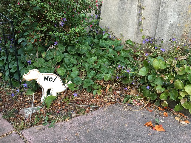
In our Berkeley dog-walking days (2006-18), I often considered the ethical and practical dimensions of dealing with canine excrement. It turns out lots of other people do, too, as evidenced by the advice posted – for free! – I see during my urban strolls.
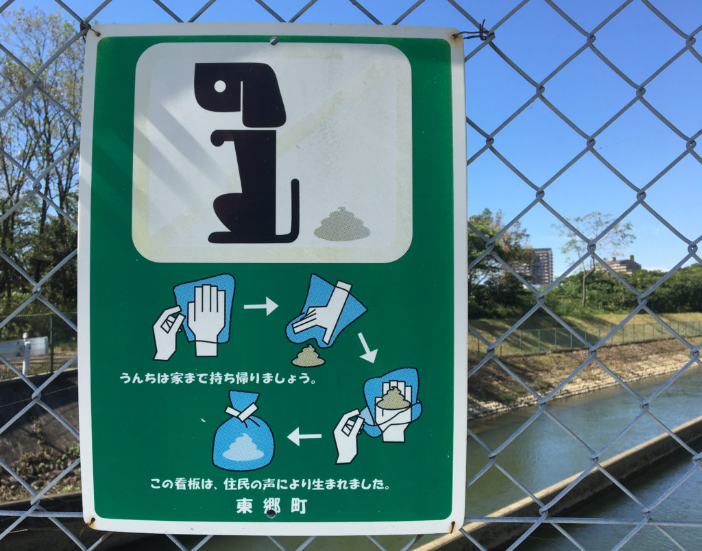
Above is a sign I saw just outside Nagoya, Japan, during a visit a while back. It made me wonder how many of these advisories I’ve recorded over the years. The answer isn’t astronomical – 20 or so, after a quick look through my Flickr camera roll. Most are from Berkeley, but a handful come from elsewhere in the U.S. – San Francisco, Los Angeles, Chicago, New York City – with a few entries from Japan and Italy.
The Flickr album is below. If you’ve got a shot for me to add, send it my way.