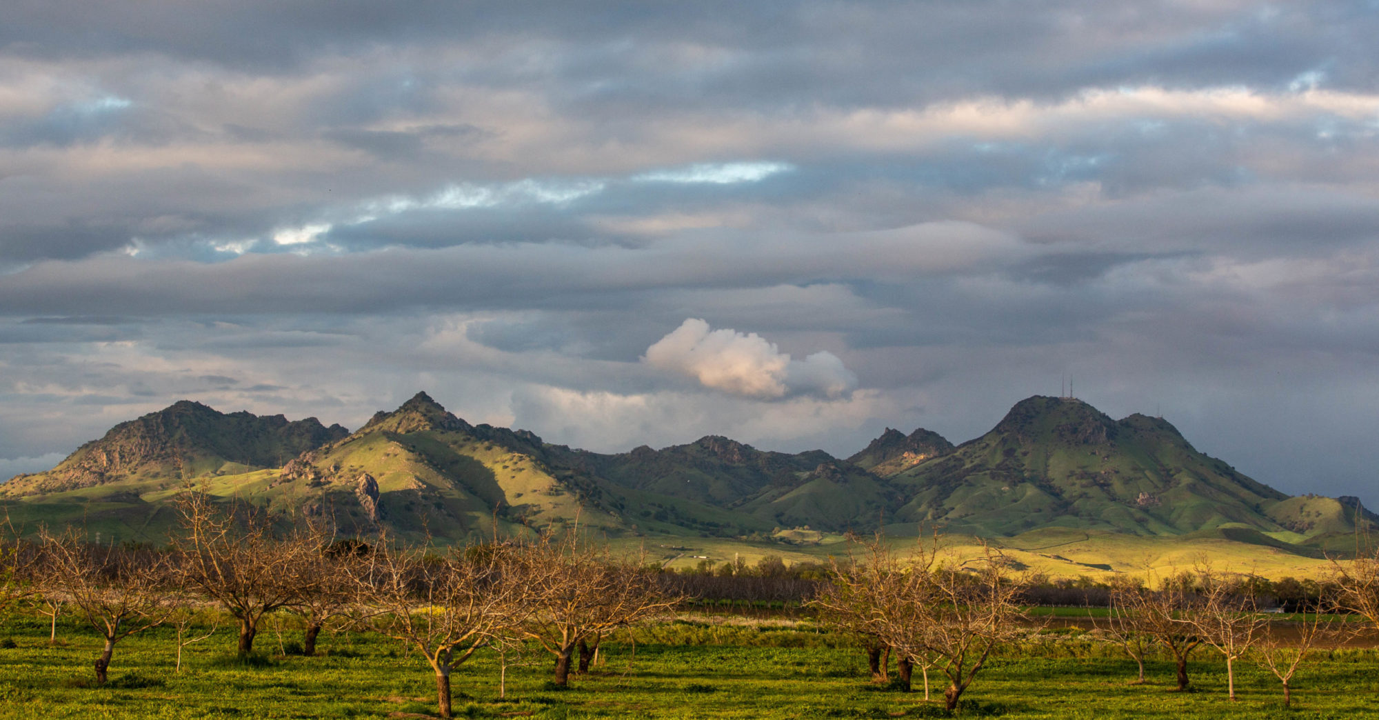
I’ve known for a while about ferries in the Sacramento-San Joaquin Delta, barge-like little boats that run across the side channels to the main rivers and at a couple of points actually provide continuations for state highways (84, a rather long one, and 220, a very short one). But the Delta isn’t really next door. The closest gateway is Antioch, in eastern Contra Costa County, about 50 miles northeast of Berkeley. So the ferries up there were just little dotted lines on the map.
We both had the day off today, got up late, did a couple chores, and early in the afternoon headed up to the Delta by way of Antioch and Highway 160. We caught the Real McCoy II ferry, which crosses something called Cache Slough (apparently the outflow of Cache Creek, which flows out of Clear Lake, about 80 air miles and a lot more stream miles to the northwest) onto the west bank of Ryer Island. We drove around to the east bank of Ryer Island and took the J-Mack ferry across Steamboat Slough (so called, I’ve heard, because it was the favored route of early river boats that ran from the Bay Area up to Sacramento) to Grand Island. (That’s the picture above, looking east toward Grand Island.)
And then we noodled around a little, stopping in Walnut Grove, a little town on the Sacramento River, and puzzling over the map trying to see a way of getting north from where we were to Davis while avoiding the capital city and suburbs. The only way was to head back down across the ferries to Rio Vista, then double back north to the west of Cache Slough and the Yolo Bypass. We managed that and eventually came to a bridge shown on the map between Liberty Island and Hastings Island. There was a sign declaring the bridge was a private road. I walked across it and saw a couple big signs declaring the road and land beyond to be private. Back at the car, I decided to see if anyone who had come out this far–we were on a gravel road atop a levee, surrounded by fields full of hay, wheat and corn–had posted anything about whether the road ahead was really private. I came across a posting from a hunting club that told visitors to ignore the “no trespassing” signs and just head across the bridge. So, that’s what we did, and drove onto Hastings Island.
After crossing to the west side of the island, we were back up on a narrow levee road with a view of Mount Diablo maybe 30 or 40 miles to the south. We approached a farm, and right there on the side of the road, a horse looked like it was leaning against the side of a red barn. The sun was low and even though I just glanced over, the light and shadow were dramatic. I kept going, but decided to turn around to take another look. And that’s what you see below. I’ll add that the horse looked spent. Old, tired. Skin and bones. Someone’s good friend, I hope. Waiting on sundown.
