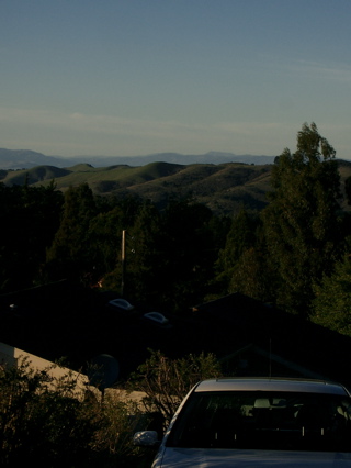
We’ve had two days of gusty northerly winds. The result today was you could see forever. Kate and I walked up to the upper reaches of the hills in town. Up above Grizzly Peak Boulevard and adjacent to Tilden Park there’s a steep, narrow lane called Hill Street. It ends in a short footpath named for Scott Newhall, a legendary editor of the San Francisco Chronicle who lived up there and in the 1960s dreamed up a story on why coffee in the city was so bad (the also-legendary headline: "A Great City Forced to Drink Swill"). The path connects to a southern segment of Hill Street, which runs back down to Grizzly Peak but also leads by a couple other small lanes into Tilden (the street geography won’t mean much to non-Berkeleyites). The picture above was taken right where the northern part of Hill Street runs into the path; we were looking back across the northern part of Tilden (the hills are already starting to green up) to the mountains in Napa County. You can just make out a little nub sticking up near the center of the picture, above the distant ridge (it was much clearer just eyeballing it). That’s Mount Saint Helena, which stands at the northern end of the Napa Valley, 58 miles from where we were standing (I checked the distance on mapping software).

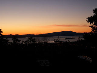
And the second picture is the dusk silhouette of Mount Tamalpais taken just as we headed down Buena Vista Way back toward the Berkeley flatlands. A great day to be out for a walk.

Just wanted to say that the pictures look great. The lower one of the bay was taken at sunset, I suppose. We’ll have to make it out there sometime.