Labor Day

laborday090610.jpg

Late the night of Labor Day, and one of those southerly winds is blowing in Chicago: gusty, warm, the kind of wind that even when it’s blowing hard seems to have a welcoming edge to it; the kind of wind that can stir up in these parts almost any time of the year–that can lead to a rapid thaw in January, force the first spring day while the calendar still says February, retrieve an evening or two of summer well after the first frost.

I drove with my dad on a round-about route out to Holy Sepulchre Cemetery this afternoon to visit my mom’s and brother’s grave and to see if I could find her parents’ and brother’s graves (I did, and did a little excavating in spite of myself to keep their markers visible). Then we went out to the area where I grew up late in the afternoon just to look around, to see what’s changed (a lot), what’s the same (a lot again) and what’s still recognizable (virtually everything, with allowance for surprises like the old par 3 course where we used to go to play miniature golf having been allowed to go back to nature).

Wandering some of the backroads, we found ourselves in Monee Township, where I tried to find the corner that I had determined, in my 15-year-old’s consultation with U.S. Geological Survey maps, was the high point in our area (something a little higher than 800 feet above sea level. In fact, the Stuenkel Road crossing on the Illinois Central, less than a mile west of us, appeared to be the highest point on the I.C. in the whole state). I had to noodle around a little to get to the place I was aiming for, winding up driving through Monee. On the way out of town, we crossed the Pauling Road overpass above Illinois 50 (Governors Highway, former U.S. 54) and the old Illinois Central mainline. As my brother Chris told me the other night, that I.C. line is now down to one track from the two to four that ran there when we were kids.

The sky was gorgeous as the evening came on. Just two weeks until the equinox.

(Here’s the Google Maps link for the locale where the picture was taken.)
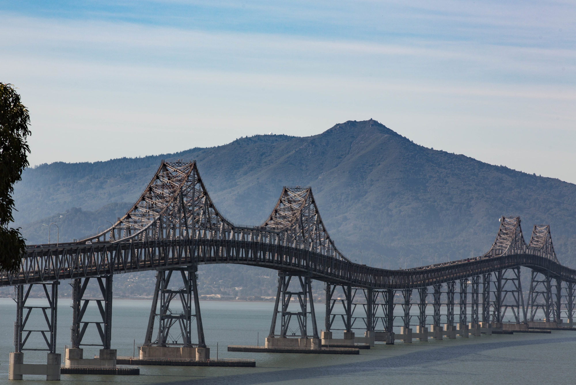
Somewhere It’s Summer …

Well, summer is everywhere in the Northern Hemisphere, to be technical. You can tell because it’s hot just about everywhere east of the Berkeley Hills. And I mean everywhere: I hear on NPR this morning that Moscow (the one in Russia) just chalked up its first 100-degree reading in 120 years of record-keeping.

But west of the Berkeley Hills? It’s been a cool, cool summer so far. Jan Null, a local meteorologist, says in a message to his email list that San Francisco just went through the coolest July in decades. He writes:

“With an average monthly maximum July temperature of just 63.1 degrees, San Francisco had its coolest July since 1971 and the 13th coolest in the past 97 years. (See table below) Only one day reached the 70 degree mark (72 degrees on 7/3 and no day after the 17th exceeded 64 degrees.”

I will only add that now we’re into August, which by tradition if not meteorological fact is regarded as the coolest, foggiest month along this stretch of coast. The week’s certainly starting out with a nice cold, gray blanket of clouds–thick enough that we had a light drizzle this morning. (And lest anyone think I’m whining, let me add that most of these chill mornings in the East Bay have been giving way to spectacular, sunny afternoons during which the temperature gets clear up to the high 60s and maybe even nudges 70.)

Long Days, Vanishing Sun

June 22: Among other things, it’s the anniversary of the Germans’ invasion of the Soviet Union in 1941 and the birthdays of a couple good friends, Dan and George, whom I haven’t seen in a long time. I always think of those three things on this date.

It’s also the date that, up here in the Northern Hemisphere, daylight starts bleeding away after the summer solstice. At my latitude (a bit below the 38th Parallel), one rather complete reference, timeanddate.com, reports that we’ll have about two seconds less daylight today than yesterday (the daily shrinkage is greater the farther north you go). Tomorrow, six seconds less; a week from tomorrow, 29 seconds less, a week after than, 50 seconds less. Here, the sun will set after 8 p.m. until mid-August. It’s about then, when the daylight is shrinking by two minutes a day, that I always feel that I start to notice it.  

Some of the math that goes into determining the length of daylight is here, a 1998 post at the Ask Dr. Math forum. And a very cool-looking Java applet that spits out daylight data for any point on the Earth’s surface is here: Daylight Applet (it takes a while to calculate your data; there’s also a paid, dowloadable version that gives you a lot more numbers and tables).

Potrero Hill Sundown

potrerohill082709.jpg

Beautiful summery night here — which would be an odd statement in August almost anyplace else but the Northern California coast. It was warm with a variety of high clouds that were gorgeous as the evening came on. The sight and the evening’s gentleness were enough to make me detour from my usual walk to the 16th and Mission BART station over to the Civic Center Station on Market Street.  

Summertime

fog073009.jpg

From the National Weather Service Area Forecast Discussion earlier this evening

As of 8:54 p.m. PDT Thursday … another summer day comes to a close along the Central California coast. Keeping with the trend … afternoon highs were slightly below normal once again. Stratus continues to be banked up along the coast and starting to push into the bays and inland valleys. Profiler network and 00z Oakland sounding from this evening indicate the marine inversion varying from north to south 1500-2000 ft. Local onshore flow (SFO-SAC) maxing out once again above +4.0 mb with strong winds blowing through San Francisco Bay and the West Delta. Tomorrow should to be very similar to today … with widespread stratus coverage during the morning then burning back to the coast by midday. Localized areas of drizzle can be expected as well.

What’s all that mean? It’s gray, foggy and cool here. This week, we could sell that to folks in Portland, Seattle, and just about everywhere else north, east, and south of here. (The picture: Looking across Berkeley Marina to Mount Tamalpais from the I-80 pedestrian bridge, just after sunset tonight.)