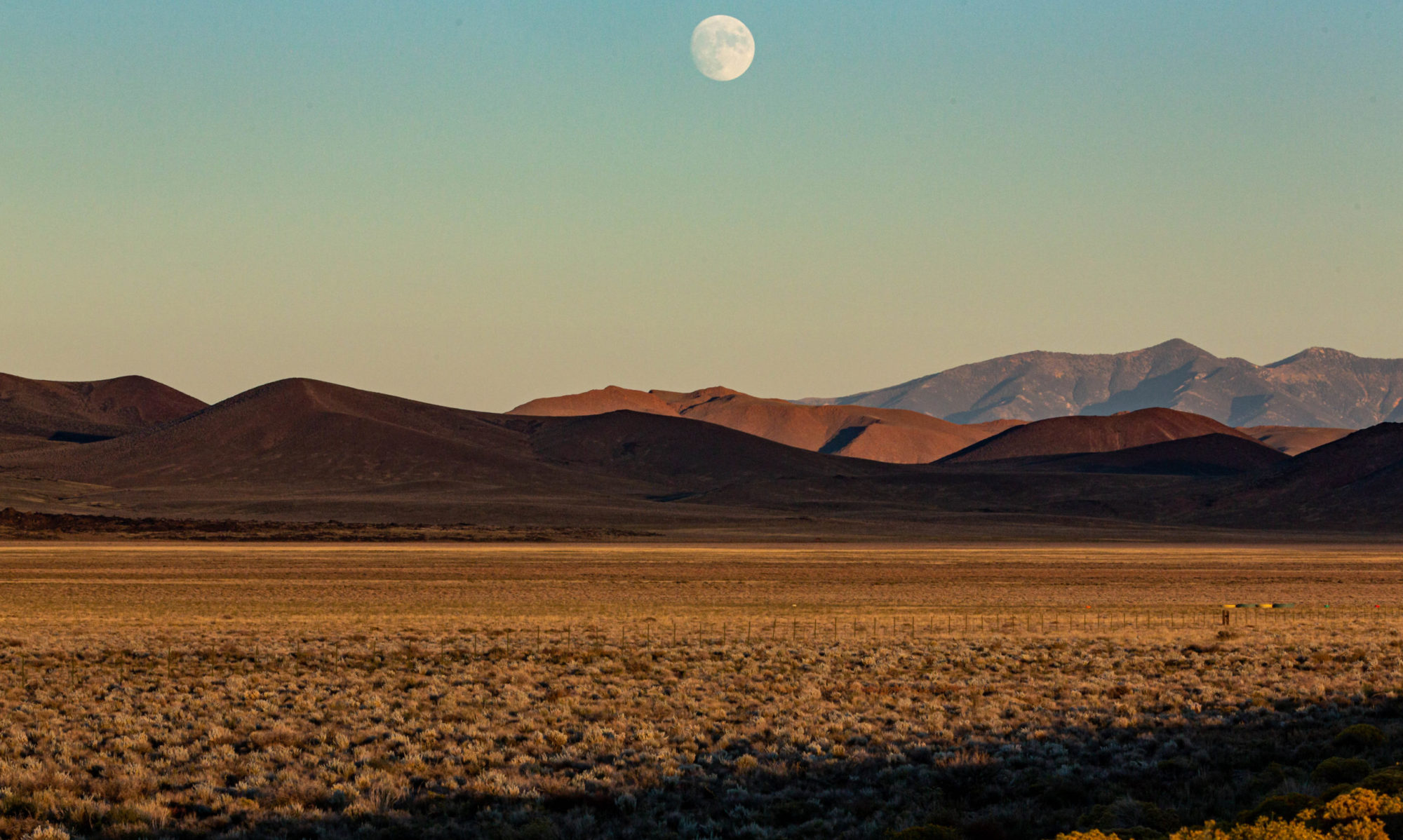
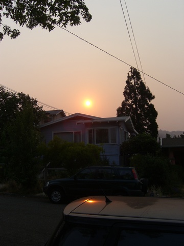
We have a fire in Southern California, and everyone gets to share in the fun. Above is a map from the National Oceanic and Atmospheric Administration’s Office of Satellite Data Processing and Distribution (original here) showing the extent of smoke from the Station Fire in the mountains north of Los Angeles (and from a series of fires burning in the mountains of British Columbia). Here’s a snippet from the Smoke Text Product (actual name) put out by NOAA’s Satellite Services Division:
Monday, September 1, 2009
DESCRIPTIVE TEXT NARRATIVE FOR SMOKE/DUST OBSERVED IN SATELLITE IMAGERY
THROUGH 0400Z September 2, 2009Southern Canada/North and Central Plains/Midwest: Remnant smoke was seen covering a very large portion of southern Canada, the Northern Plains, most of the Midwest, and parts of the Great Lakes region. Most of this smoke is remnant from multiple large wildfires that have been burning in southern British Columbia over the past few days. Smoke stretched west to east from British Columbia to south Quebec just north of Vermont, as far north as central Hudson's Bay, and as far south as the Central Plains where it has been mixing with the dense smoke from the southern California wildfires. Several areas of moderately dense to very dense smoke were present, mostly along and north of the US/Canadian border with one of the largeest areas of very dense smoke northwest of Lake Superior and another over southern Alberta/southern Saskatchewan.
For more on how the smoke situation is evolving across the country, see NOAA’s Air Quality Forecast page, then check the smoke forecasts accessed through the table on the left side of the page. (NOAA’s graphical forecast pages are awesome, but they require either a tutorial or a lot of time just messing around with them — the latter is my method — to discover everything that’s there).


