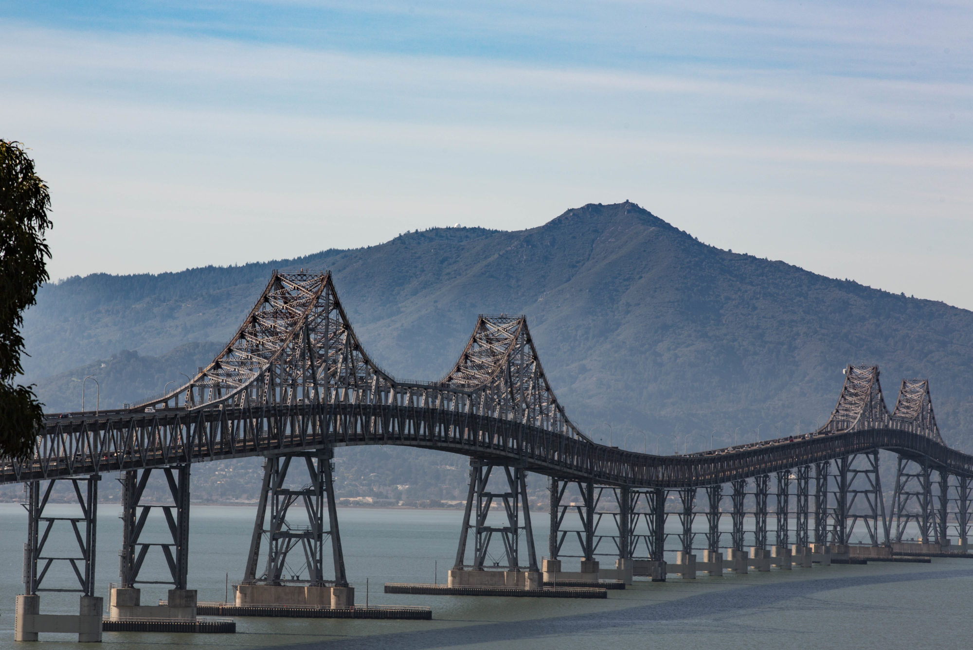
The view looking north from the Highway 36 bridge between Highland and Sea Bright, New Jersey. That’s the Shrewsbury River in the foreground, which opens into Raritan Bay and then New York Harbor. That’s Sandy Hook National Seashore in the middle distance, which is still closed because of damage from Hurricane Sandy. The Atlantic is rolling in from the right. Beyond that is a Hapag-Lloyd container ship, then the south shore of Brooklyn and the skyline of Manhattan in the distance. All quiet and benign.
I got the barest idea of how much the storm has affected life in this part of the world. Looking south from the bridge, I could see groups of big houses in Sea Bright that were almost all dark as dusk descended. There was a highway sign advising of a 5 p.m. to 7 a.m. curfew in the town, much of which was washed off the map. Utility crews rolled past, still working on getting lights on three weeks after the storm. I met a couple on the bridge and asked if they’d been around when the storm arrived. Yes, but they lived high enough up that it hadn’t affected them. It was a different story for the other town nearby, Highland. Most of the business district was wrecked. I didn’t go take a look.
