Cathedral Window

bikelane030913.jpg

My brother John and I were standing on the platform of the MacArthur BART station in Oakland once, years ago. The platform is set in the midst of a big freeway interchange. It’s got a nice view of towering overpasses in one direction. Since it’s elevated and bounced by four lanes or so of traffic on each side, it actually has an open view to the Oakland Hills on one side and out toward San Francisco Bay on the other. With all the traffic, the soaring, gracefully curved highway structures, the trains coming and going, you’re really conscious of how much industry and energy goes into what we build. And more than that, too. Standing there, John said, “These are out cathedrals.” Not that we build our highways to give expression to our understanding of the divine, but these structures somehow embody both a creative urge and give voice to how we see our connection with the world.

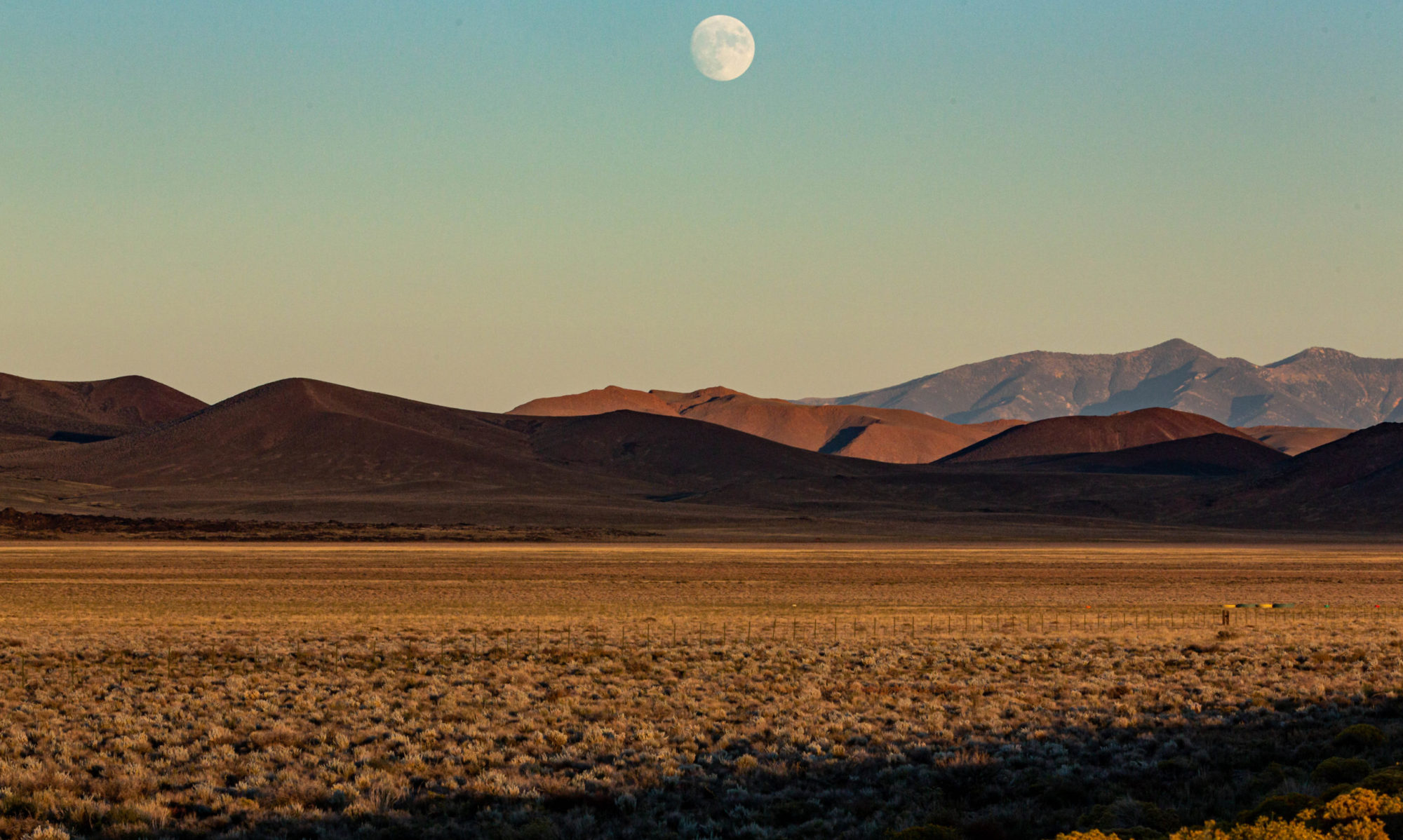
Anyway, yesterday, I was out on a short bike ride (to pick up the A’s tickets featured in another post), and took a bike lane that skirts the Maze, the huge tangle of overpasses and ramps that distribute eastbound traffic from the Bay Bridge south toward San Jose, east and south toward Livermore and Stockton and Walnut Creek and Concord, and north toward Berkeley, Richmond, Vallejo and Sacramento. It was a beautiful early afternoon, and what was most striking was the way the highway structures framed the hills and mountains of Marin County.
Local Infrastructure Drama

Macarthur042907

A gasoline tanker crashed on the biggest interchange in the Bay Area, the place where traffic exiting the Bay Bridge from San Francisco gets sent north, east and south to magical spots like Vallejo, Stockton, Hayward, and Fremont (and yes: Berkeley, too). The tanker caught fire after the crash, and the blaze’s intensity caused a section of aerial freeway to collapse onto the roadway where the truck was incinerated. Since the crash occurred at 4 a.m. on a Sunday morning, traffic was light and the only injury was to the truck driver, who suffered serious but not life threatening burns.

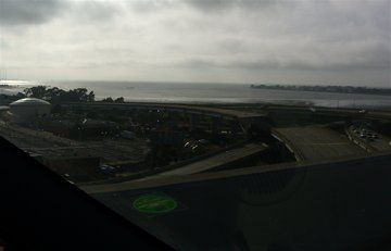
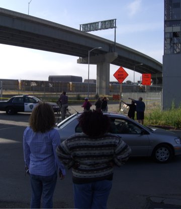
The predictable result of the crash: Gawkers, including your faithful correspondent (FC) and close collaborator (CC), were out in force. At the point of the collapse, the freeway maze flies over a collection of railroad and heavy equipment yards, vacant lots, and a sewage plant. It’s not easy to find your way around down there, and the few places that might have given a decent vantage point of the carnage — a couple “Mad Max”-type surface streets and the parking lot for a big home improvement store — were blocked off to prevent the idle legions from satisfying their curiosity. We could see the collapsed section from 200 or 300 yards away from nearby streets, but couldn’t get any closer. The best view turned out to be from the skyway that carries I-80 from West Oakland into Emeryville. The collapse was plainly visible from up there, though I tried to keep my attention on the road while CC snapped some shots.

It’s not the first time something catastrophic has happened at or near this spot. The interchange was reworked after the collapse of an adjacent double-deck freeway in the 1989 earthquake (42 people died there). The new ramp configuration has always seemed a little more challenging than an urban freeway ought to be: three lanes split into two directions — you can use the center lane to either go south on Interstate 880 toward San Jose or east on I-580 toward Stockton. With normal daytime traffic, the ramp is a bottleneck that backs up traffic as much as a mile, into Berkeley. Late at night or early in the morning, when you can go normal California freeway speeds — 70 or 75 mph — the ramp is trouble. You hit it fast, and if you don’t know exactly where you’re going, the sharpness of the turns can throw you. The cops are saying the truck driver involved in this morning’s crash was going too fast and hit a guard rail and support column.

Macarthur042907A

Technorati Tags: ,