Eclipse Road Trip, Days 8-10: Mountains and Motels and Stuff

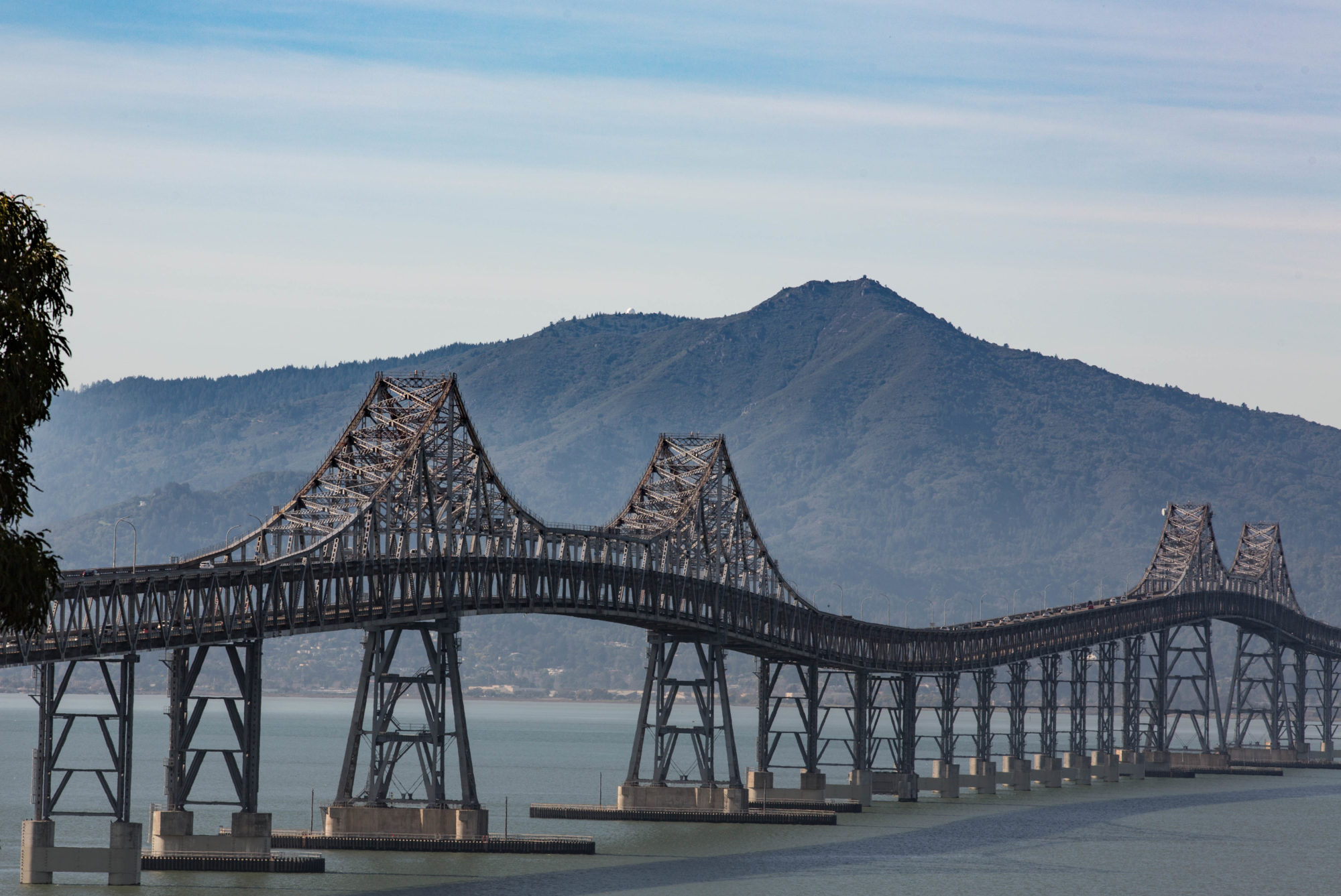
Along Highway 487, north of Medicine Bow, Wyoming.

We witnessed the eclipse in Casper, Wyoming, took our time packing up, had an early dinner downtown, and then headed out on an alternate route toward Denver, state highways 220 and 487, thinking to avoid the parking lot that Interstate 25 had become with the Eclipsed Masses heading back to their lives.

In fact, there was very, very little traffic along 487 — although probably a lot by that highway’s standards — and we didn’t see any signs of the masses until we hit the settlement of Medicine Bow, which I recall being the setting, sort of, for the old TV western (and perhaps the movie and novel that preceded it) “The Virginian.” In the dusk, a long line of cars waited to gas up at what looked like a two- or four-pump gas station; a large crowd milled around in the huge parking area outside the adjacent store.

We finally joined the main exodus when we got to Interstate 25 in Cheyenne, and had about 40 miles of stop-and-go traffic down to Loveland, where the first thing we saw when we got off the freeway was a couple fighting on the side of the road (yes, I stopped to see what was happening when the woman appeared to flag us down; seeing that alcohol appeared to be involved, that the parties didn’t appear in danger of doing each other any real physical harm, and that they didn’t want the services of local law enforcement, we went on our way. They turned out to be staying at our motel).
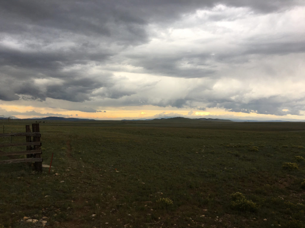
Along U.S. 285 near Fairplay, Colorado.

***

Anyway. I don’t have time this morning — Thursday, in Moab, Utah — to give a blow by blow of what took us from there to here. But Tuesday took us to Denver International Airport, where The Dog and I took leave of Kate, who flew back to the Bay Area so she could be at work on Wednesday.

Then The Dog and I — I did the driving — headed out of the Denver area on U.S. 285, through a couple of pretty vigorous mountain thunderstorms, across Kenosha Pass and South Park and eventually to U.S. 50, where we turned west and stayed the night at a mountain lodge. (My brief adventures trying to find the hotel, just below 11,312-foot Monarch Pass, and my hourlong radio appearance by phone from my Wi-Fi-less, cellphone-less hotel room on KQED’s “Forum” program are entertaining details perhaps to be expanded upon later.)

Along Colorado Highway 145, near Norwood.

Wednesday we crossed Monarch Pass on U.S. 50, then wound our way south and then west and then north from Montrose, Colorado, to Moab (U.S. 50, U.S. 550, Colorado highways 62, 145 and 90, Utah 46 and U.S. 191 were all encountered in this leg of the journey).

All I can say about this part of the world: It’s insanely beautiful, with virtually every turn revealing something I’m taken aback by. And what a varied landscape, from mountain crags to miles and miles and miles of red rock canyons and from dense conifer forests to oceans of sagebrush.

***

We’re about 900 miles from Berkeley at this point, and I was tempted to try and do it all in one go. But I won’t. Today we’re headed for Ely, Nevada, about 400 miles away. That will leave us with a long but eminently do-able drive tomorrow (I used to drive the 500 miles from Berkeley to Eugene at the drop of a suggestion; traveling solo with The Dog, however, is slower. Plus I’m always stopping to gawk at something or to read a roadside plaque).

More later.
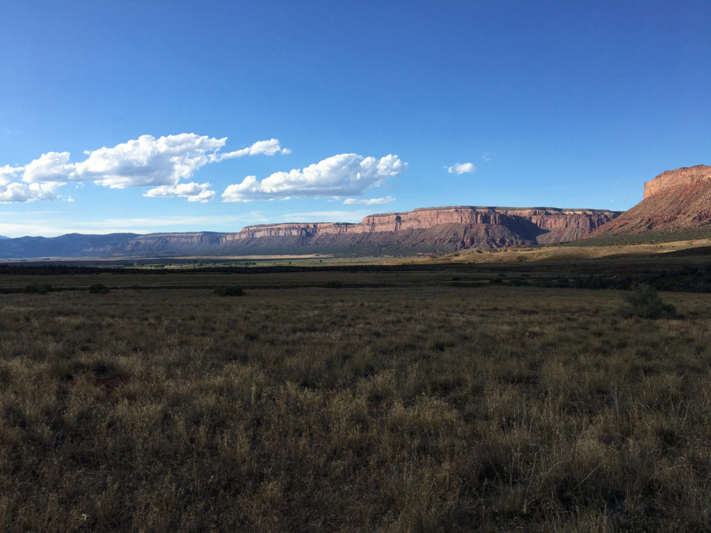
Near the town of Bedrock — seriously — on Colorado Highway 90.

Road Blog: Lamar, Colorado, to Grants, New Mexico

wagonmoundnm041509.jpg

Above: Just outside Wagon Mound, New Mexico, a town on Interstate 25 about 105 miles from Santa Fe. Wonderful day on the road: wind, sun, clouds, the overawing and heartbreaking beauty of the country. We ended up in Grants, about 100 miles east of the Arizona border, after having one small adventure with the car. Won’t go into the long version here, but we had a check engine light go on just about the same time we were passing a Toyota dealer in Raton, just south of the Colorado state line. The mechanic there agreed to check us out right away, and suffice it to say (a longhand version of the story might find its way here) that the car’s six salty Chicago winters exacted their toll today. But in a small way. The shop got us on our way in an hour or so. No more problems, and now I know what a coil assembly is.

Below: Marchiondo’s Store, Raton, New Mexico. There’s a story there, too, which I shall relate. It’s connected to that whole car deal, but it’s got its own twists and turns. Note: the store’s been closed since 1986. Still full of “merchandise,” as the owner described it. It’s the “A Rose for Emily” of the retail world.

marchiondo040509.jpg

Road Blog: Kansas City to Lamar, Colorado

elmdale040409.jpg

Got a late start from Kansas City this morning, and took our time in Chase County–home of the Tallgrass Prairie National Preserve–before doing some serious driving starting at about 2:30 in the afternoon. Well, we had lunch in Cottonwood Falls, the Chase County seat, and since we had just one key for the car and were concerned about locking it in the car–we stopped by a general dry good store with a sign that said it made keys. Getting the spare key was a half-hour process that involved the store proprietor expressing doubts about his ability to cut a two-sided key, a long search through the blanks he had in stock, and a digression about a locking gas cap that once had failed him. We did not hurry him along. Finally, he chose a blank he thought might work since he didn’t have the one specified for our Toyota Echo, and cut it with no problem. He said he thought it would work in the car, took our buck-eighty, and we were on our way. The new key works fine and all we have to remember to do now is not to leave the spare key in the car where we won’t be able to retrieve it when we lock the other one inside the vehicle.

We also wasted some time trying to locate Kansas Highway 150, which our map sort of implied might head west from Cottonwood Falls. Eventually we found it, but not before driving back and forth on a back road that goes past the town fishing lake and through a dying hamlet called Elmdale–still on the map–just off U.S. 50.

Elmdale looked desolate and much the worse for wear. Only one business appeared to exist in town–a grocery that except for the soda vending machines outside looked like it might be shut down. Just down the main street from there was a small edifice built from the same sandy-colored limestone that appears in many substantial buildings in the area. It was the city hall, built (according to an inscription at the lower right of the picture) by the Works Progress Administration in 1936.

Chris remarked that the place reminded him of a desperately poor town in eastern Kentucky, Pineville, that we had driven through with our dad in 1966. The shattered houses, some abandoned, some still occupied, reinforced the impression. So did the scruffy city park and the nearly empty streets. The one sign of activity was someone unloading a truck full of wooden pallets, adding them to the hundreds of pallets already stacked near one home. I wondered whether they were intended as firewood.

There’s a story to the town, one that naturally is not evident from a five-minute look at the place. By way of the town’s Wikipedia entry, I came upon a terrific (though undated) story from the Emporia Gazette that chronicles the town’s decline over the past 60 years, mostly due to a series of floods. The piece is accompanied by some nice shots from a Michigan photographer, Galen Frysinger.

Trip coordinates:

Departure point from Chicago: 42 degrees, 0 minutes, 32 seconds N. latitude
87 degrees, 41 minutes, 21 seconds W. longitude

Day One stop: 39 degrees, 6 minutes, 52 seconds N.
94 degrees, 45 minutes, 46 seconds W.

Day Two stop: 38 degrees, 6 minutes, 13 seconds N.
102 degrees, 37 minutes, 6 seconds W.

Home (Berkeley): 37 degrees, 52 minutes, 39 seconds N.
122 degrees, 16 minutes, 53 seconds W.

Comment: We’re within a quarter degree of our destination latitude. We’re about 20 degrees east of it. I don’t believe we’ll find a straight-line route.

Treasure Hunt

It’s very quiet here. Thom just returned to Oregon; he and Kate left with a minivan-load full of stuff yesterday morning, and he’s busy getting his house set up in Eugene. Kate’ll be back this evening. Scout, the dog, is morose.

I just came back from Chicago — well, I came back on Tuesday. Tomorrow, I’m flying to Denver to do a 90-hour, 750-mile ride, the Colorado Last Chance 1200. That’s a staggering thought, actually; I was on a waiting list and didn’t really expect to get in. Then on Thursday, I got an email saying a spot had opened up. I trained to do one of these long rides this year and was hoping to do the Cascade 1200 in Washington state. But I fell off my bike three weeks before that event and wasn’t really healed completely when the time came to ride (what I missed was four days of very tough and very, very hot riding). But over the summer, I got back into a pretty good riding rhythm and now I’m going to Colorado.

The route is through eastern Colorado and out into northern Kansas, principally on U.S. 36 ((the Kansas portion of the route has its own booster’s association, which is planning a weekend of garage sales from one end of the highway to the other starting next Friday: “The First Annual Great U.S. Highway 36 Treasure Hunt.” The easternmost point in the ride, Kensington, Kansas, is in Smith County; back in America’s 48-state days, the county was the site of the geographical center of the United States, near the town of Lebanon. This is a part of the country that has been losing people for over a century. For instance, census numbers show Smith County’s population fell more than 75 percent between 1900 (when there were 16,384 residents recorded ) and 2005 (4,121, down 9 percent just since 2000). You could pick almost any county out there in the dry Plains and find the same story. So then you get attractions like the Great Treasure Hunt as a way of drawing people out there to see what they’re missing (lots of fresh air, lots of room, lots of quiet, lots of homes that look cheap by comparison with what big-city folks are used to. The problem is, people who say they’d like all that, and I’m one, would like all that in moderation or in carefully controlled doses; and they still need someplace to go to work to support their wide-open-spaces lifestyle.

Looking forward to seeing it all, though, even though I think I’ll miss the Great Treasure Hunt

Technorati Tags: , ,