Eclipse Day: Casper, Wyoming

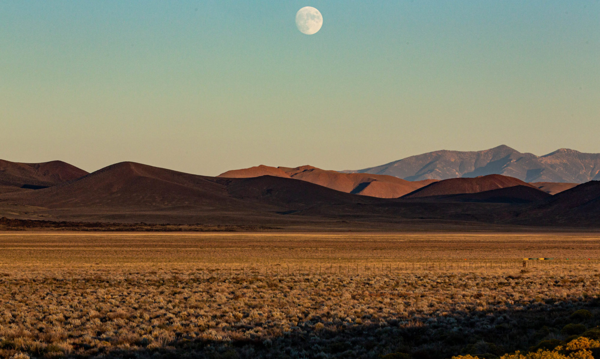
Well, just under over three hours to T-Time. T for totality. The sky is clear but a little smoky here. Off to the north, a bank of high clouds is visible. Is it headed this way?

From the final, very complete forecast discussion published at 2:48 a.m. by the Riverton office of the National Weather Service:

“… Natrona county, including Casper, will lie within the other good area to view the eclipse as it will likely be mostly clear and sunny to begin the day with high clouds not making it into the County until after totality, through the afternoon. There is also one additional caveat to this astronomical event – smoke cover. The forecast area will see another frontal push through the area later this morning perhaps bringing in more wildfire smoke and causing or continuing some visibility decrease (keeping the sky a bit hazy side even without the clouds). Again, none of these factors will keep the eclipse from being viewed – but may somewhat limit how it/what can
be seen around the eclipse itself…especially near/at totality. On the other hand, the colors associated with this kind of filtering could be quite dramatic.”

Meanwhile, on Lake Michigan

ilweather020111.png

That’s today’s lurid National Weather Service map for the Chicago forecast region. Orange means “blizzard warning.” Although Chicago weather cams don’t show anything beyond a typical dreary February day so far, forecasters say the storm is still on track to hit the area this afternoon.

Purple on Lake Michigan means “storm warning.” Here are a couple of details from the statement the Weather Service issued this morning:

* EXPECT SUSTAINED STORM FORCE WINDS OR FREQUENT STORM FORCE GUSTS FROM 9 PM THIS EVENING TO 9 AM CST WEDNESDAY.

* DURING THE STORM WARNING…THE STRONGEST WINDS WILL BE UP TO 50 KT FROM THE NORTHEAST. THE HIGHEST SIGNIFICANT WAVES WILL BE UP TO 18 FT. THERE WILL BE OCCASIONAL WAVES UP TO 27 FT.

Eighteen-foot waves? Twenty-seven-foot waves? Wow. Those are big ones on the ocean. Hard to imagine the mostly placid lake in that condition (though I’ve seen waves big enough to break onto Lake Shore Drive just north of downtown before). Part of the alert the forecasters put out today is a “heavy freezing spray warning.” Here’s what that means:

A HEAVY FREEZING SPRAY WARNING MEANS HEAVY FREEZING SPRAY IS EXPECTED TO RAPIDLY ACCUMULATE ON VESSELS. THESE CONDITIONS CAN BE EXTREMELY HAZARDOUS TO NAVIGATION. IT IS RECOMMENDED THAT MARINERS NOT TRAINED TO OPERATE IN THESE CONDITIONS OR VESSELS NOT PROPERLY EQUIPPED TO DO SO…REMAIN IN PORT OR AVOID THE WARNING AREA.

Since the warning area is the entire lake, probably best to keep your kayaks and ore carriers tied up today.

Update: My friend Pete pointed me to the Chicago Area Forecast Discussion from earlier today that adds this about conditions along the western shoreline of Lake Michigan:

FINALLY…HAVE UPGRADED TO A LAKESHORE FLOOD WARNING FOR ILLINOIS LAKE SHORe COUNTIES. INTENSE NORTHEAST WINDS WILL RESULT IN WAVES BUILDING TO 14-18 FT WITH OCCASIONAL WAVES UP TO 25FT. THIS VERY LARGE WAVES ARE EXPECTED TO BATTER/BEAT/SHRED ANY PANCAKE ICE THAT IS ALONG THE SHORE AND ALLOW THE VERY LARGE WAVES TO RESULT IN COASTAL FLOODING. LAKE WATER LEVELS ARE RUNNING 6-12 INCHES BELOW AVERAGE…HOWEVER WITH 15FT+ WAVES THIS SHOULD BE OF LITTLE CONSEQUENCE. IN ADDITION TO COASTAL FLOODING …THE INTENSE WINDS WILL RESULT IN HEAVY FREEZING SPRAY RIGHT NEAR THE LAKE COATING EVERYTHING WITH A LAYER OF ICE.

Update 2: Here’s a nice piece of forecast geekery–a 30-second animation from the Great Lakes Coastal Forecasting System–of the wind and wave forecast for Lake Michigan for the next five days. If you go by this, maximum wave heights will be generated tomorrow morning and will be about 20 feet in the southwest portion of the lake and between 15 and 20 along the southwestern shoreline.

Wind and Snow Report

ilweather0113011.jpg

[Sorry–the map above is not clickable: Here are the links to the best storm-related weather sites for Chicago:
Chicago Weather Center: Detailed, newsy blog with good historical statistics from WGN (Chicago Channel 9) weather staff.
National Weather Service, Chicago: Everything you need to know.]

I’m heading back west tomorrow afternoon, American Airlines willing, and I chanced to look at the National Weather Service forecast page for the Chicago region. That big green area, which covers a good chunk of the northeastern corner of Illinois, is for a blizzard watch. If a storm moving across the Plains tracks as modeled, snow will start tomorrow afternoon, ease up a bit, then come in with a vengeance Tuesday into Wednesday. An excerpt from the NWS watch:

WINDS WILL ... RAMP UP WITH SUSTAINED WINDS TUESDAY EVENING BETWEEN
25 AND 35 MPH WITH GUSTS UP TO 40 MPH POSSIBLE. NORTHEAST WINDS
THEN CONTINUE TO STRENGTHEN TUESDAY NIGHT INTO EARLY MORNING
WEDNESDAY WITH GUSTS UP TO 45 MPH POSSIBLE. THIS...IN COMBINATION
WITH THE FALLING SNOW...MAY CREATE BLIZZARD CONDITIONS. ... COMBINED SNOW TOTALS FROM THE MONDAY AFTERNOON THROUGH WEDNESDAY
MAY EXCEED A FOOT AND A HALF ACROSS MUCH OF NORTHERN ILLINOIS AND
FAR NORTHWEST INDIANA. SNOWFALL RATES UP TO 3 INCHES PER HOUR
WILL BE PROBABLE AT THE HEIGHT OF THE STORM TUESDAY NIGHT.

One sometimes has occasion to wonder what it would be like to deal with this climate again (after the storm blows through, a pretty good cold snap if forecast, with highs in the single digits later in the week). As a kid, news like this would prompt anticipation, excitement, exhilaration–even beyond the prospect of getting a day off of school. Now, part of me would love to see the show; but I’m thinking more of snow blowing sideways and wondering how quickly the airport will become a mess once it starts coming down tomorrow afternoon.

On the Bike: Weather Edition

Tomorrow’s event, part two of the qualifying series for this August’s Paris-Brest-Paris exercise in transatlantic self-punishment, is a 300-kilometer ride. That’s 188 miles in universally recognized American distance units. We’ll start at the Golden Gate Bridge at 6 a.m., ride up through the interior valleys of Sonoma County to the town of Healdsburg, head out along the Russian River to the townlet of Jenner, then ride down the coast highway to Point Reyes Station, where we’ll swing inland to go back to the bridge (the foregoing provided for those who want to keep score at home). Based on past experience, this will be something I’ll be doing well into the evening.

The hard part is: rain. The sky is clear out there now. But for the past two or three days, the forecast has predicted rain and, for the return trip on the coast, headwinds. I’ve been meaning to write a little something on the blessing and curse of modern weather forecasting for the modern bicycle rider. By which I mean: The blessing is that the sort of forecasting that’s possible today, along with tools like Doppler radar and satellite water-vapor imagery, can give you a pretty clear idea of what you’re riding into and when; the curse is that you become the prisoner of a prospective and freely revised reality.

Weather forecasting is highly model driven, meaning that a bunch of unimaginably fast and powerful computers are applying sophisticated mathematical models to the wealth of weather data pouring in from all over the globe; when the machines finish their model-assisted number crunching, they spit out a picture of the way the world will look in 12 and 24 and 48 hours and so on. Then forecasters take these visions of the world as the models predict it and try to turn them into forecasts. Except: Sometimes the forecasters are confronted with two or three or six conflicting, or at least significantly varying, takes on what tomorrow and the day after and the day after that, ad infinitum, will look like. Then the humans have to do something that is a cross between highly educated guesswork and astrology: often, based on observations about which models have “verified” recently, they’ll make a prediction based on a compromise reading of models or just lean on the model that seems the most trustworthy in a given set of circumstances.

The curse, more specifically, is that we can all look at the developing forecasts, read the forecasters’ reasoning, even consult the raw data if we think we can handle that. Which means, in the end, we don’t get a minute’s rest thinking about whether it will rain, how much it will rain, how awful the headwinds will be out on the road. On balance, it seems like it would be simpler, and much more peaceful for the soul, to just look out the window before you get on your bike. But that would be much too simple and would fail to make the best use of our high-speed Net connections.

Time for bed now, right after I check the forecast and the radar again.

Technorati Tags: , , , ,

Rain, Rain

Heard on the street on my walk to work as clouds rolled in from the west and swallowed up our brief morning sunshine: “Rain, rain, g–d–n m—–f—–‘ rain.” Except my fellow stroller didn’t use the dashes.

Although I’m coming perilously close to a weather whine, our March rain has mounted into wetness of historic magnitude: We’ve had 23 days of measurable rain this month. If it rains today or tomorrow — and that’s almost certain — that will set a new record for most rainy days here in March. As my friend Pete pointed out the other day, forecasters say some large-scale global weather patterns have kept it wet here for weeks (and will for at least the next week, it looks like).

Technorati Tags: , , ,