Bay Area August: Departures from Normal

Saturday and Sunday were actually sunny here, for the most part. Off to the west Sunday night, Venus was visible well after dark–the first time I’ve seen that in weeks. Not that this signals a break in our marathon summer fogfest. The forecast for the next week calls for more of what we’ve been having for weeks along the coast: cool, mostly gray days that might give way to an hour or two of honest sunshine. Highs in the low to mid 60s. (This is not a complaint. Our air-conditioning bills here: zero.)

The map below is something that my friend Pete pointed me to a couple weeks ago. It’s from the Western Regional Climate Center and is a quick take on how much our daily high temperatures have departed from normal. There’s a tiny wedge just north of San Francisco–Point Reyes–where daily maximums have been more than 10 degrees lower than average. Here in Berkeley, highs have been 6 to 8 degrees below normal, and that’s pretty much the story for most of the rest of region. temperatures.gif

Dramatic Proof: It’s Cold

cold120809.jpg

It was cold enough in the Bay Area Tuesday that we saw the rare phenomenon of visible midday respiration (translation: you could see your breath in broad daylight). After dark, the temperature fell into the 30s again here in Berkeley (into the lower 20s farther from the bay, and below zero up in the Sierra Nevada–but that’s not our neighborhood). Last night, we saw billowing clouds of Midwest-style breath steam just like the one captured above in a dramatic candid photograph.

Berkeley Frost

Oh, sure: You, wherever you are to the north or east of the San Francisco Bay shoreline, you have your cold snaps, your big old snowstorms, and your drifts. All that’s enough to make you forget how the cold season started some frosty morning a few months ago. Here on the Bay, frost happens every so often in the dead of winter, on some clear morning after a storm has passed. This morning was one of those frosty mornings for us to come out of our uninsulated bungalows and think that we’re in some kind of wintry solidarity with folks on the Columbia, near the East River, or on the shores of Lake Michigan and Lake Erie.

Today’s Frost Report

Frost121806Frost121806A
Down to freezing again overnight (yes, I’m conscious that most of the vegetation on which the frost forms here is green, not Northern Hemisphere winter brown). Those little crystals of ice? They’re called spicules (according to the OED, which refers to them as spicula, a spicule is “1. A sharp-pointed or acicular crystal or similar formation … b. esp. A formation of this nature caused by the action of frost”).

Jack Frost Nipping at Your Ankles

Frost121706

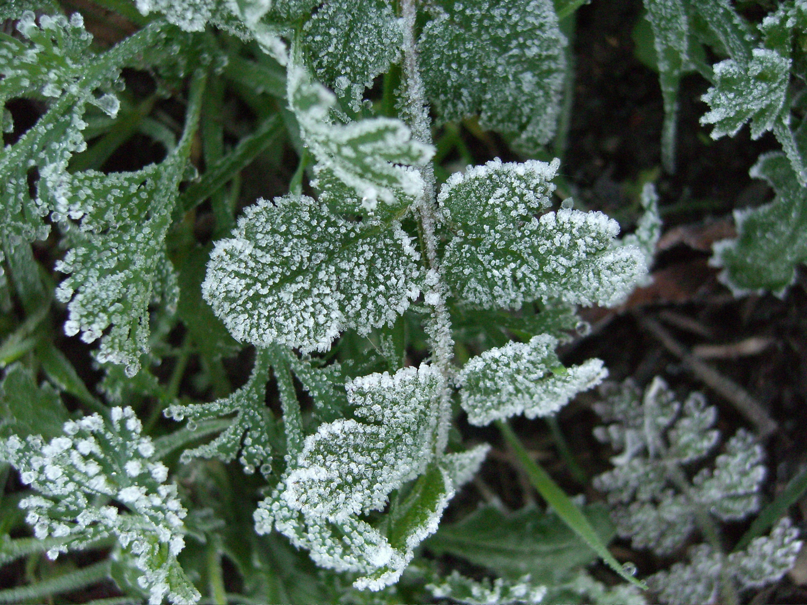
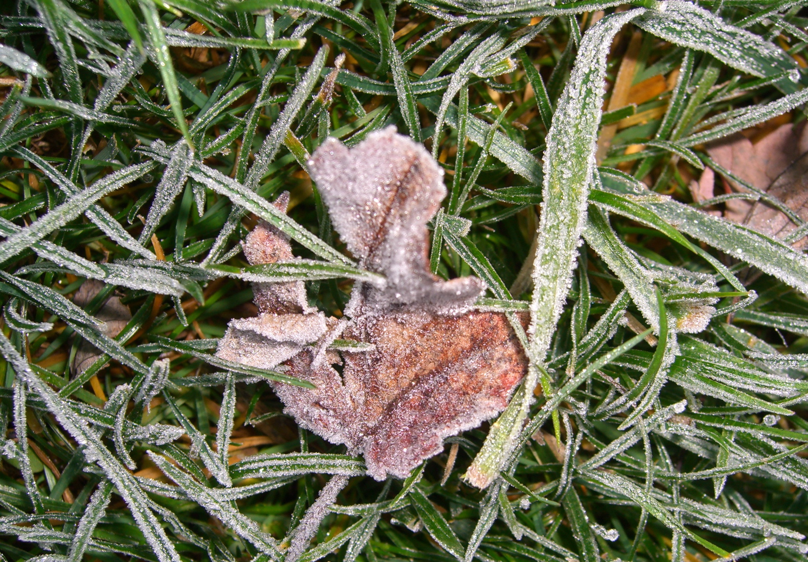
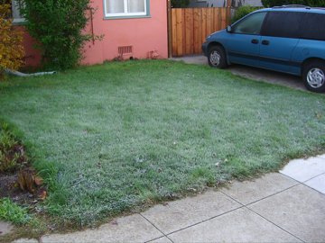
Frost this morning, leading to today’s inquiry: How does frost form if the air temperature is above freezing? Frost is ice, after all, so where does it come from if your reasonably accurate thermometer (ours: on the back porch, six feet above the ground) shows that it’s 38 degrees outside? What accounts for car roofs getting frosted when there’s no other sign of frost in the area?

I never thought about this much growing up in Illinois because when you saw frost, it was usually well below freezing. Here, I started to wonder about it because wintertime frost is common in our relatively mild bayside climes, mostly when the thermometer is showing a temperature five or six degrees or more above freezing.

The short answer (from a couple of just-OK references, here and here) is that frost only forms (it sublimates, from water vapor directly to ice) in the presence of freezing temperatures. The temperature that’s critical in the process is not the air temperature several feet off the ground, where most thermometers are placed, but at the surface where frost is formed. Among the factors that make ground temperatures significantly colder than the air several feet above are radiative cooling–the process by which the ground is surrendering heat energy into the atmosphere in the absence of some input (sunlight, for instance)–and the tendency of cold air to sink. So while it’s 38 degrees at an altitude of six feet, it can be 32 or below on the ground; if there’s sufficient moisture in the air, frost will form.

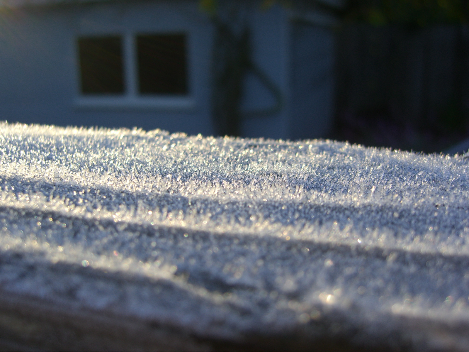
And the presence of frost on car roofs, etc., when there’s little or no frost nearby? The same general explanation holds; the difference is that exposed metal and glass radiate heat faster and more completely than ground surfaces and thus reach the frost point more quickly. A car roof is an example of a sort of micro-micro-climate, I guess.

[Update, 12/19: I found a second thermometer and measured the temperature at the ground to compare it to the temperature recorded on our indoor-outdoor thermometer, which has a sensor at a height of six feet above the ground. The latter recorded a low this morning of 35 degrees; at the same time, the ground thermometer, which was just half an inch above the ground on one of those Frisbee donut things (so that air could circulate under it and so that it would not be resting directly on the ground), showed a temperature of 27 degrees.]

Frost121706A

Technorati Tags: ,