


"You want it to be one way. But it's the other way."
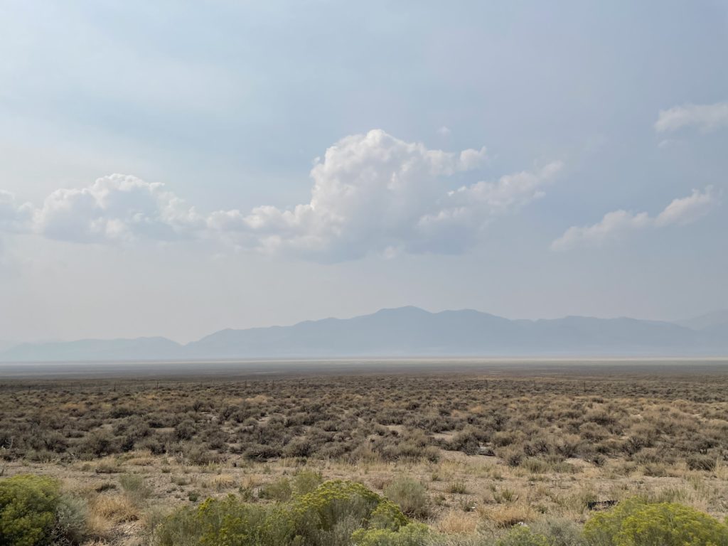
Around the Bay tonight–my part of the Bay, anyway, San Francisco, Berkeley and environs–it looks like we’ve gotten a little break from the smoke. It was cloudy at dusk, and you could actually tell there were clouds in the sky instead of it being a big flat mass of gauze. Out in the Central Valley, and particularly north, in the Sacramento Valley, the smoke is a real issue. The air is so full of particulates–fine, fine ash ejected from the fires burning in every direction–that it’s rated “very unhealthful” to “hazardous” to breathe (for anyone, not just people who have higher health risks because of heart and lung conditions). Hospitals and medical equipment suppliers gave away as many as 2,400 respirator masks in Redding and Chico. The number of fires said to be burning in California tonight: abour 1,200. The National Weather Service says that the mountains in Northern California may have another spate of dry lightning storms over the weekend.
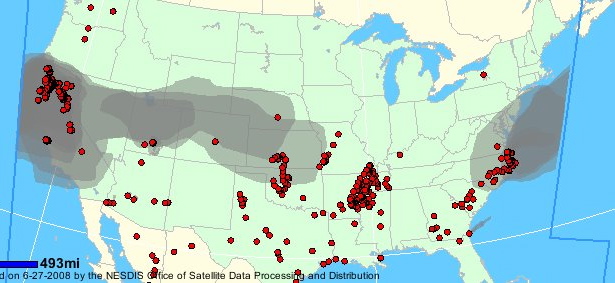
But California being California, we like to share. The image above (click for larger version) is from the National Oceanic and Atmospheric Administration’s Fire Detection Program page. The red dots are hot spots detected by NOAA satellites. The gray areas are smoke plumes. Here’s a snippet of the text that goes with the image:
California:
Several large wildfires and numerous smaller wildfires in northern
California continue to emit large amounts of moderately dense to dense
smoke which covers much of California, north of 35N, and extends to the
west over the Pacific Ocean.Central US:
Light smoke remnant from the California fires … can
be seen extending across much of the central United States. States over
which the light smoke can be seen include: central Nevada, northern
Utah, southern Wyoming, northern Colorado, southern Nebraska, most of
Kansas and western Missouri.
Technorati Tags: california, california wildfires, fire

Firefighting agencies say there are over 1,000 wildfires burning in California right now. About 800 of them started last Saturday and Sunday as dry thunderstorms swept over the northern two-thirds of the state. We’re a long way from any fires here. There’s a big one burning about 125 miles north of us, near Clear Lake, and two very large blazes in the mountains that rise up from the Big Sur coast–maybe 150 miles south-southwest of here. Still, the smoke is everywhere. Morning, noon, and evening, the sun shines with a filtered light, and the acrid smell of scorched brush hangs in the air. The picture above is out in front of our house at 7 a.m., after the sun had been up nearly two hours. I’ve been here long enough that I can spin graybeard yarns, but still it’s true: There’s been nothing quite like this here–this pall of smoke that just hangs here day after day–in the 30-some years I’ve lived here.
Technorati Tags: berkeley, california, california wildfires, fire